Español
 Català
 Euskara
 Français
 English
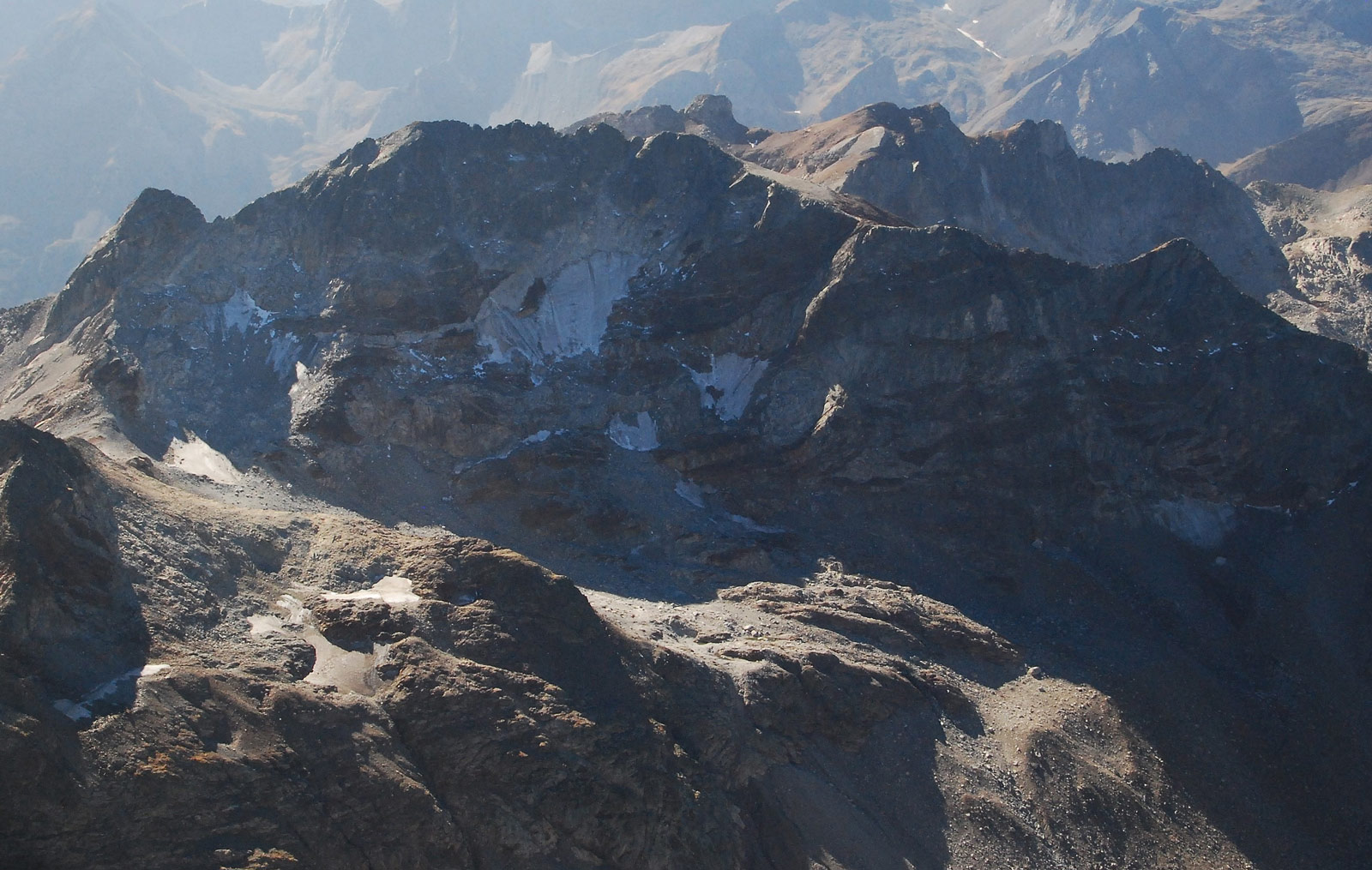
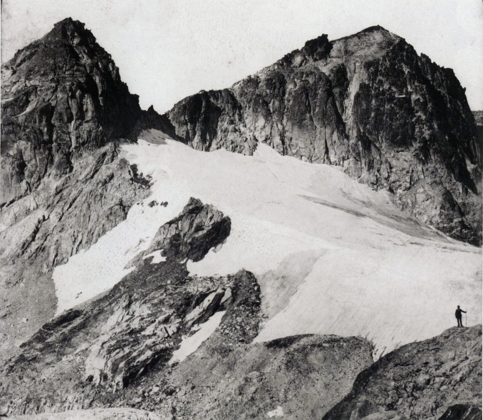
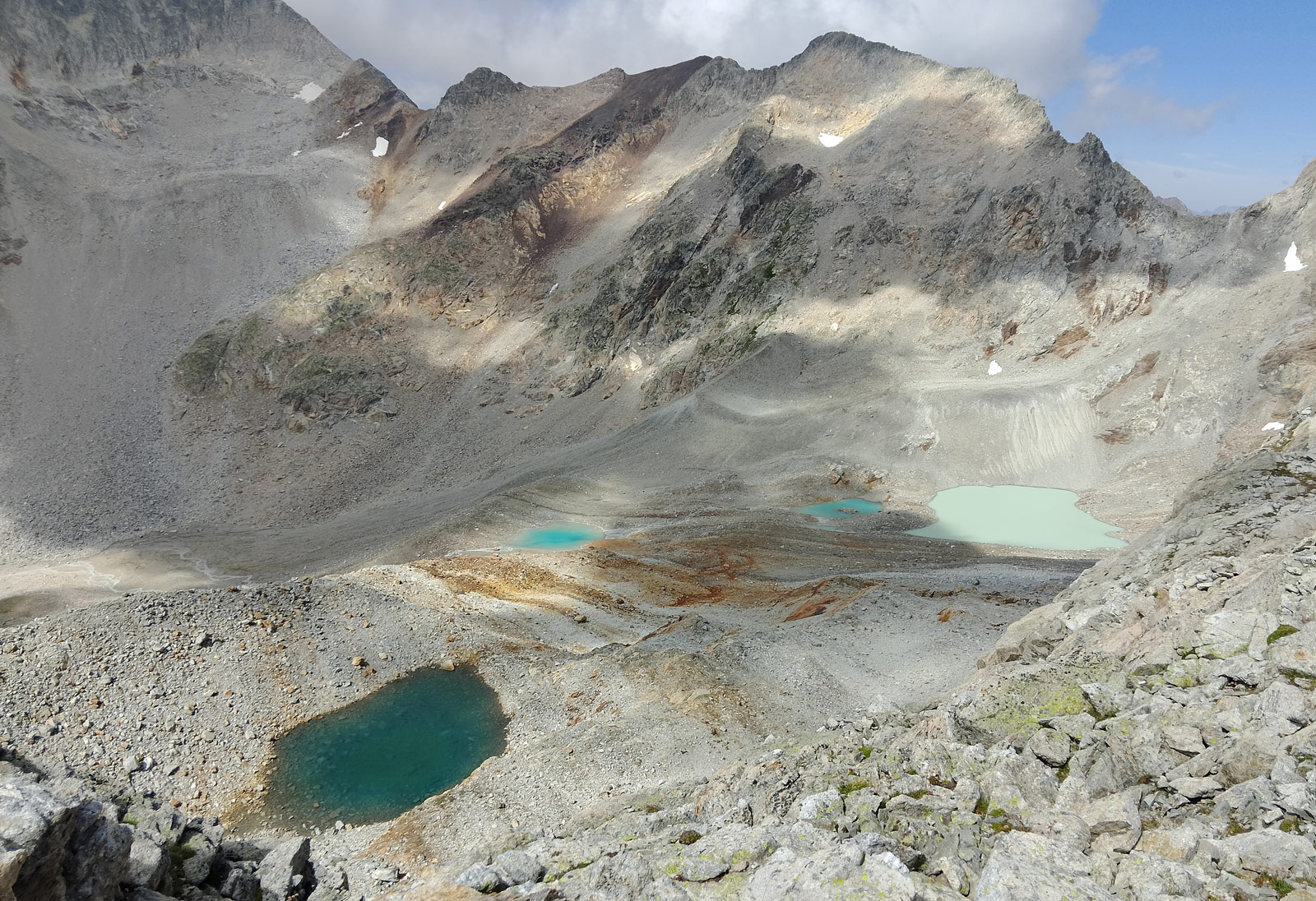
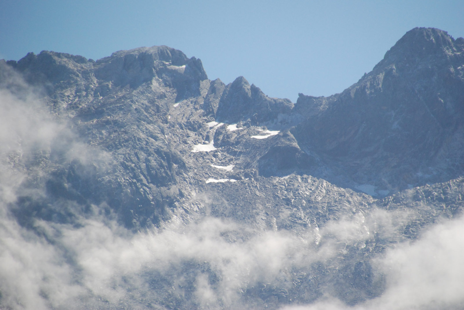
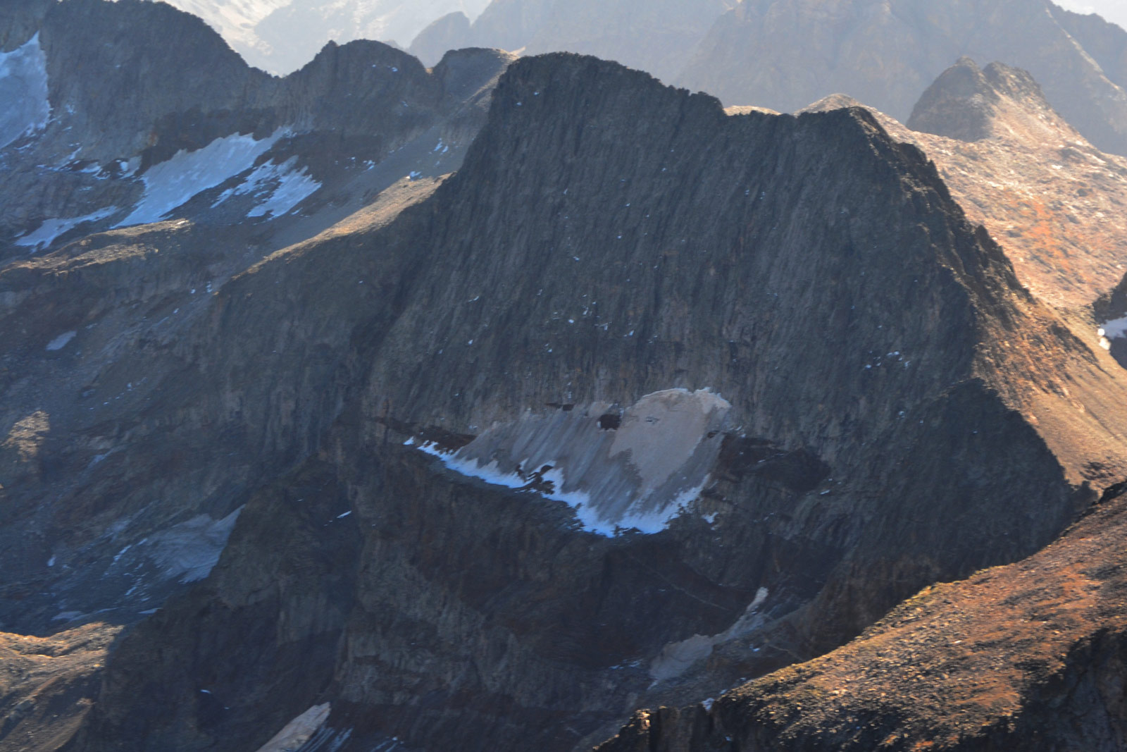
The Gourgs Blancs Glacier, covering 53 hectares, was the 12th largest in the Pyrenees. At the beginning of the 20th century, the thickness of the glacial ice exceeded the Collado de Gourgs Blancs (2,877 m), forming a small tongue that descended towards the east, in one of the few examples of glacial difluence in the Pyrenees.
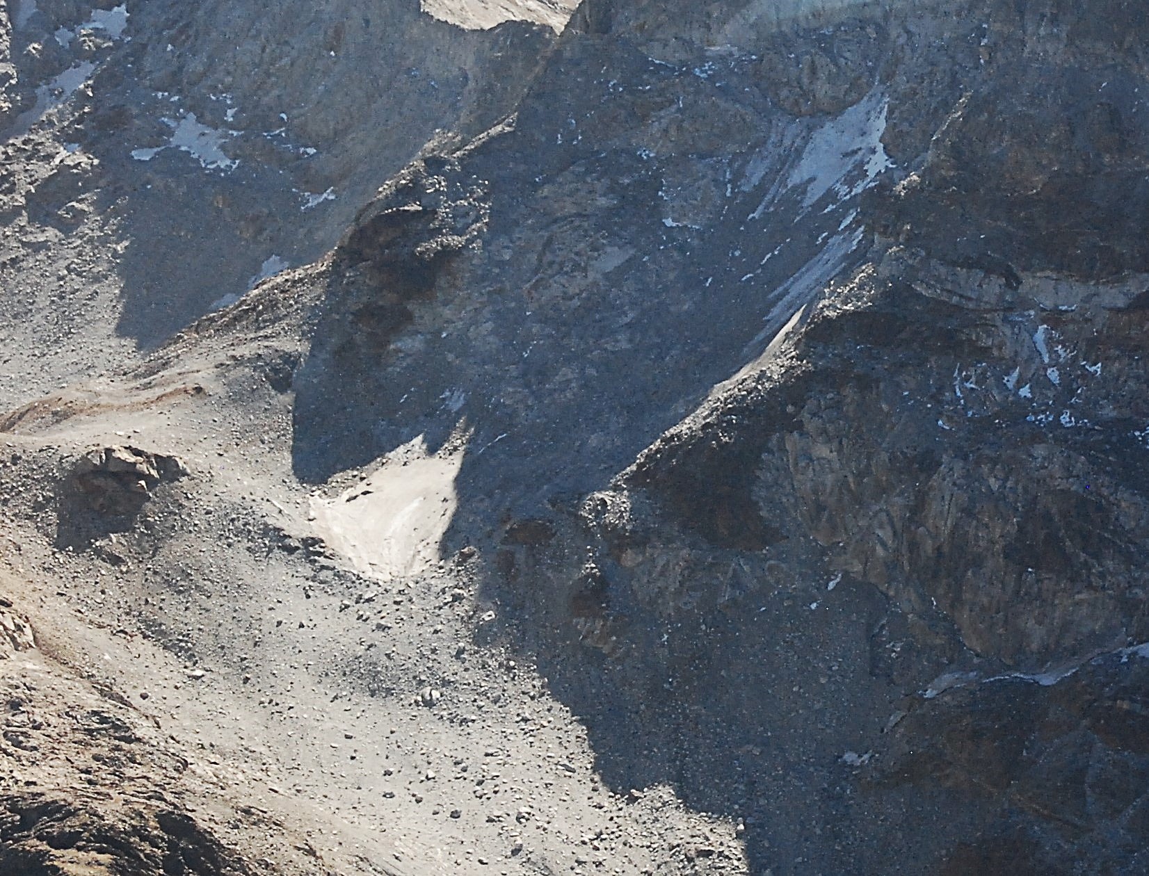
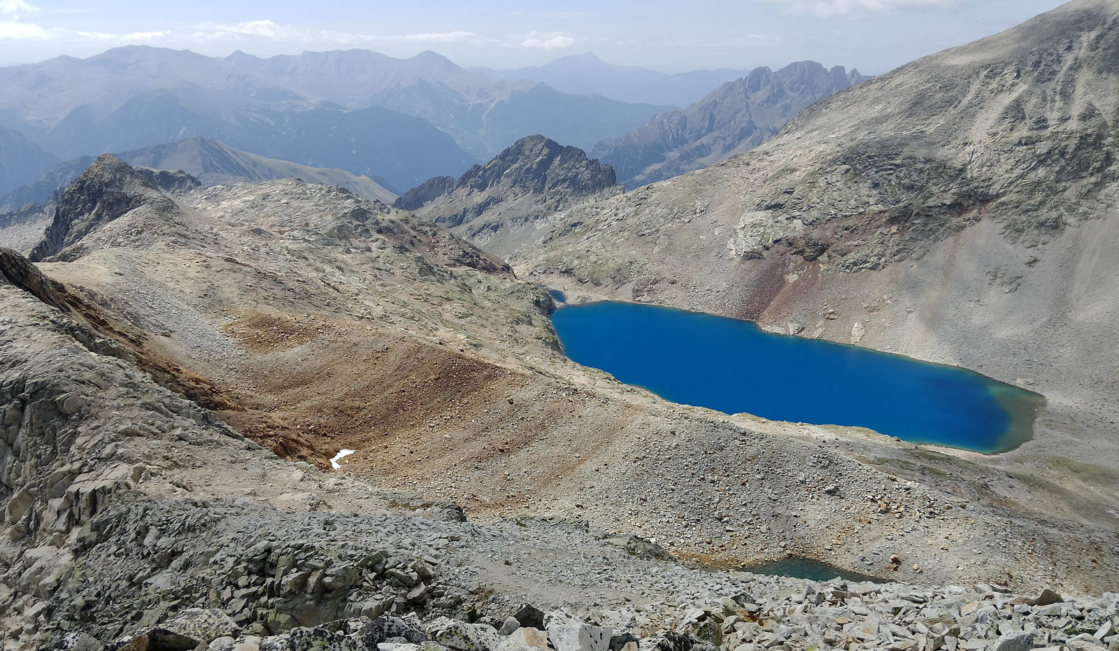
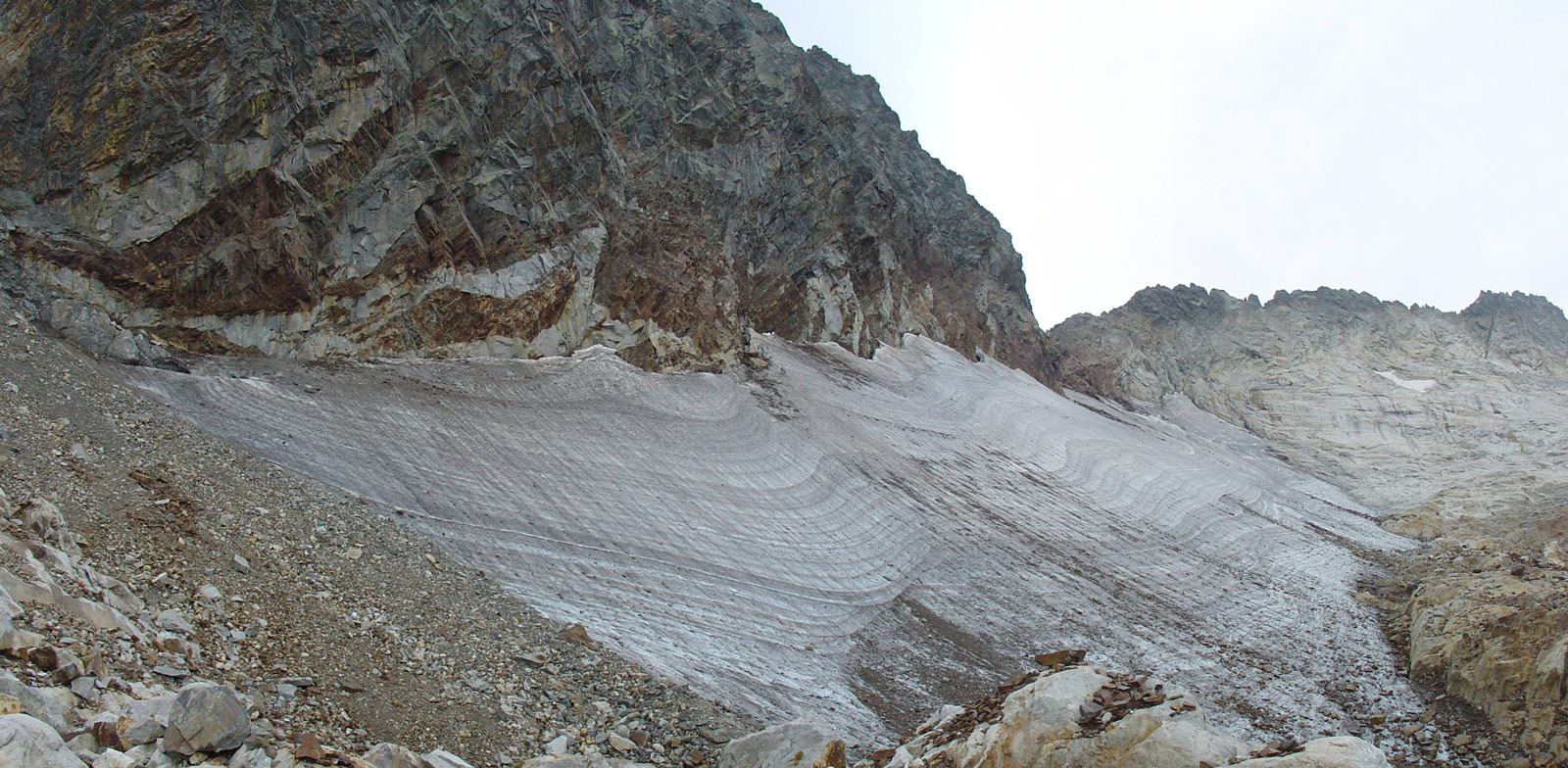
Similar to the Ibones Blancos de Literola, the over-excavation and subsequent retreat of the ice has led to the formation of new “gougs blancs” (lagoons-ibones). These are characterized by the whitish color of the water, caused by sediments (glacier flour) originating from the erosive action of the ice.
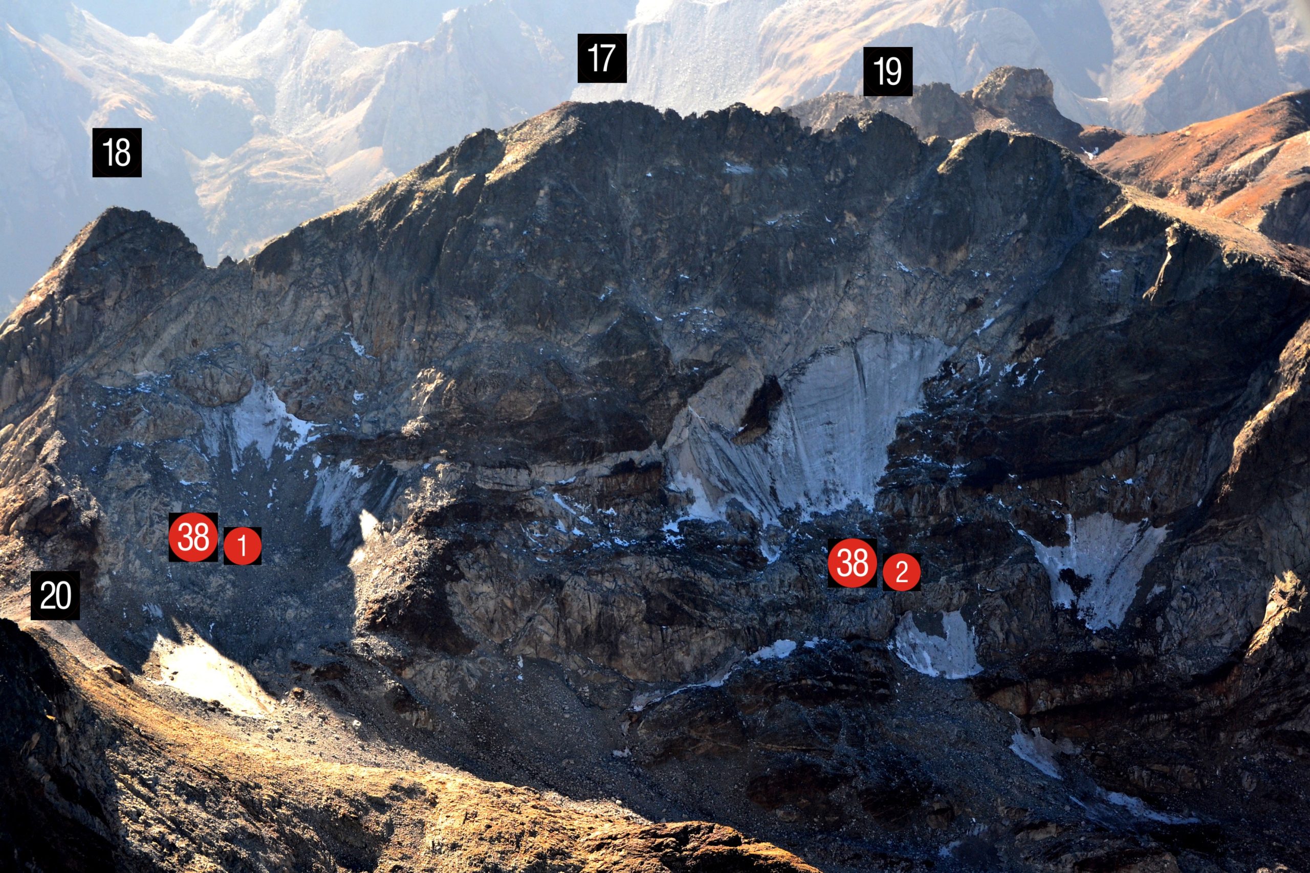
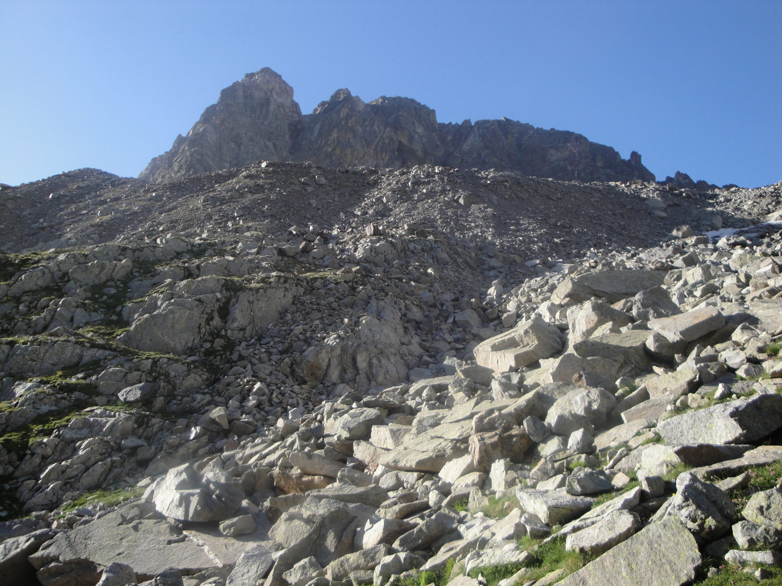
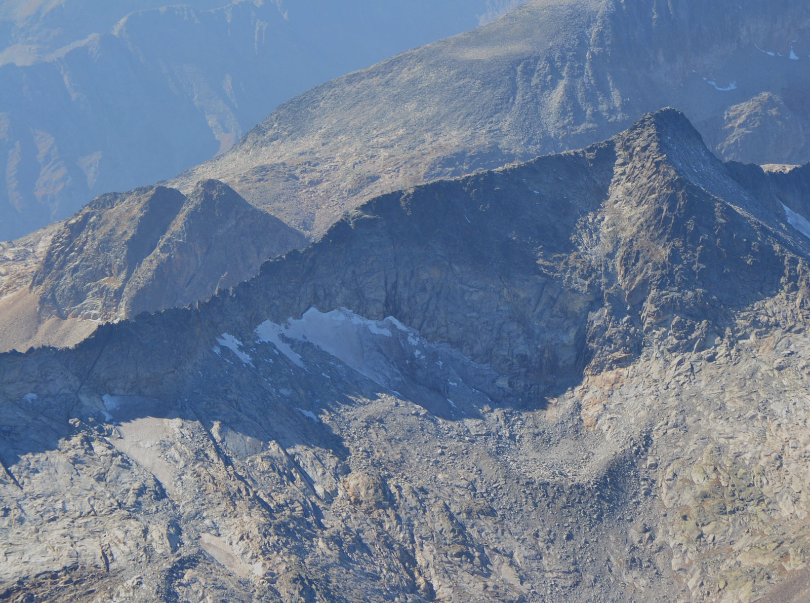
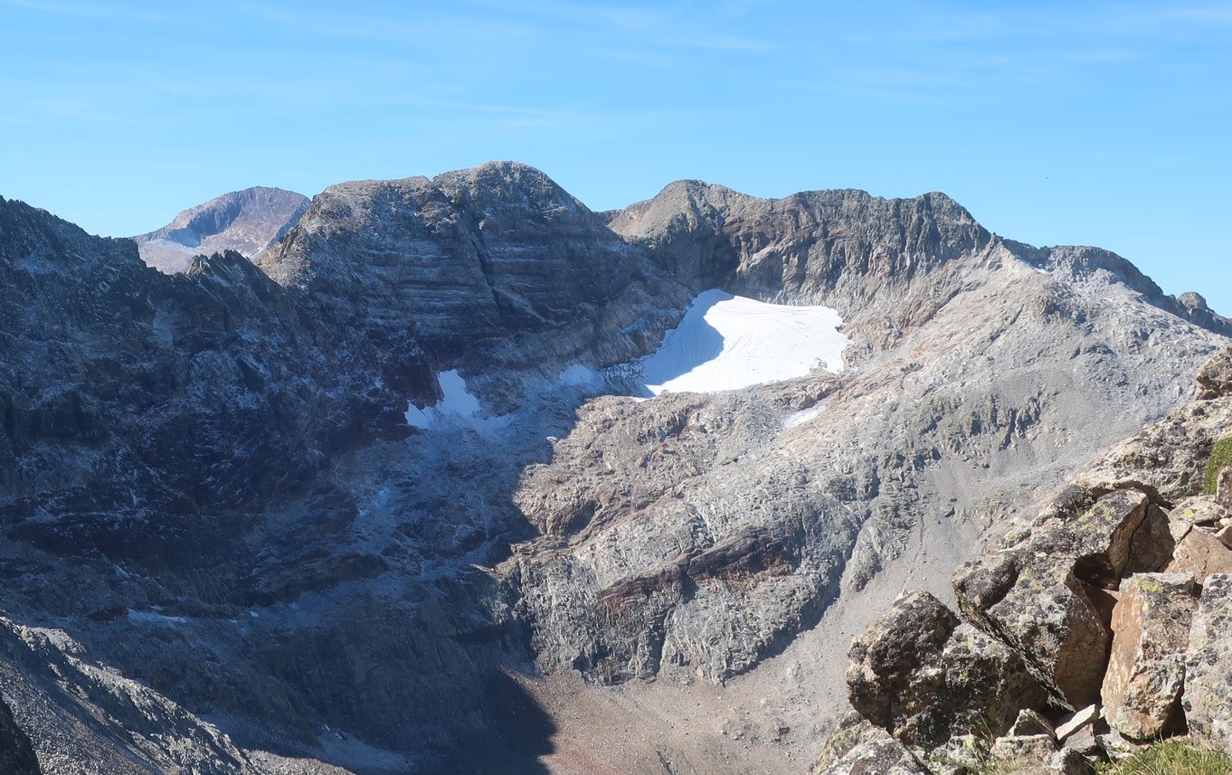
This current icefield was split into two main icefields. The easternmost (38-1) lies between Pico Jean Arlaud (3,065 m) and Pic des Gourgs Blancs (3,129 m). The southernmost (38-2) lies between this peak and Pointe Lourde Rocheblave (3,108 m). Both have deteriorated and shrunk, becoming covered with eroded material.
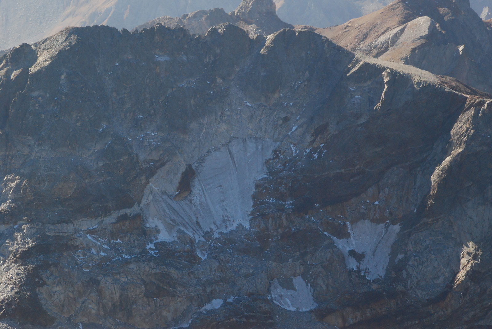
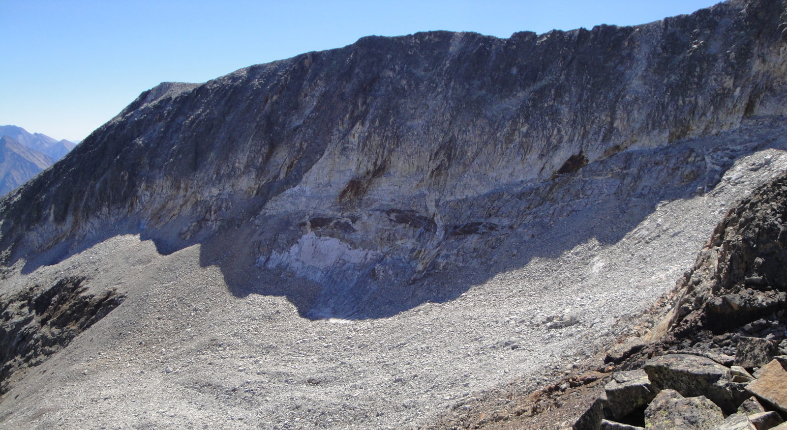
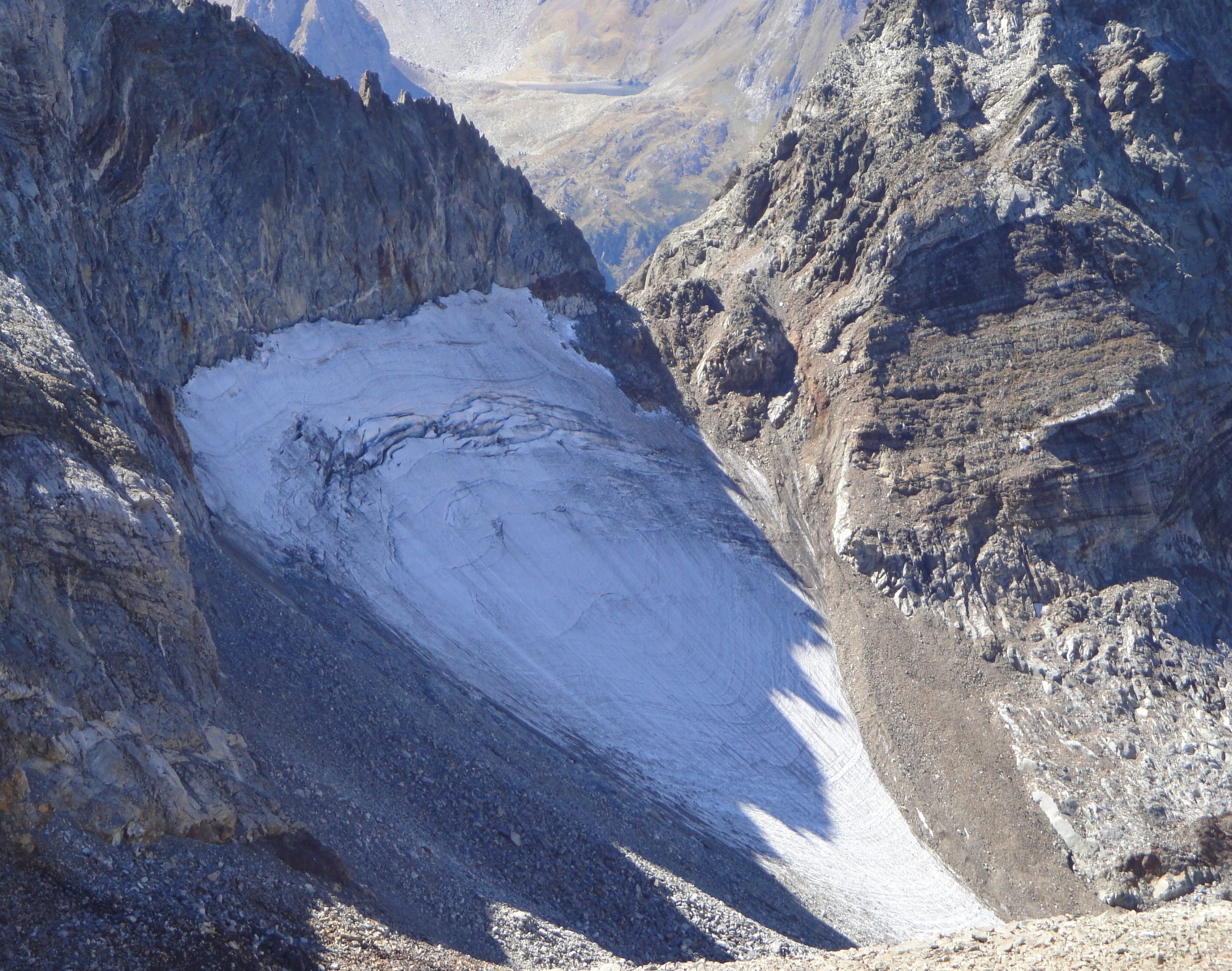
Currently, the eastern fragment (38-1) appears as a small ice field attached to the most protected part of the wall. The largest fragment (38-2) split into three main units that were still visible in 2020. In 2023, only the main fragment in the form of a rock glacier remained visible.
All the fragments of this extinct glacier cover an area of 0.6 ha, and there may be other remains that are not visible due to the erosion material that abounds in the sector.
Este aparato glaciar pertenece al siguiente macizo:

38) Gourgs Blancs
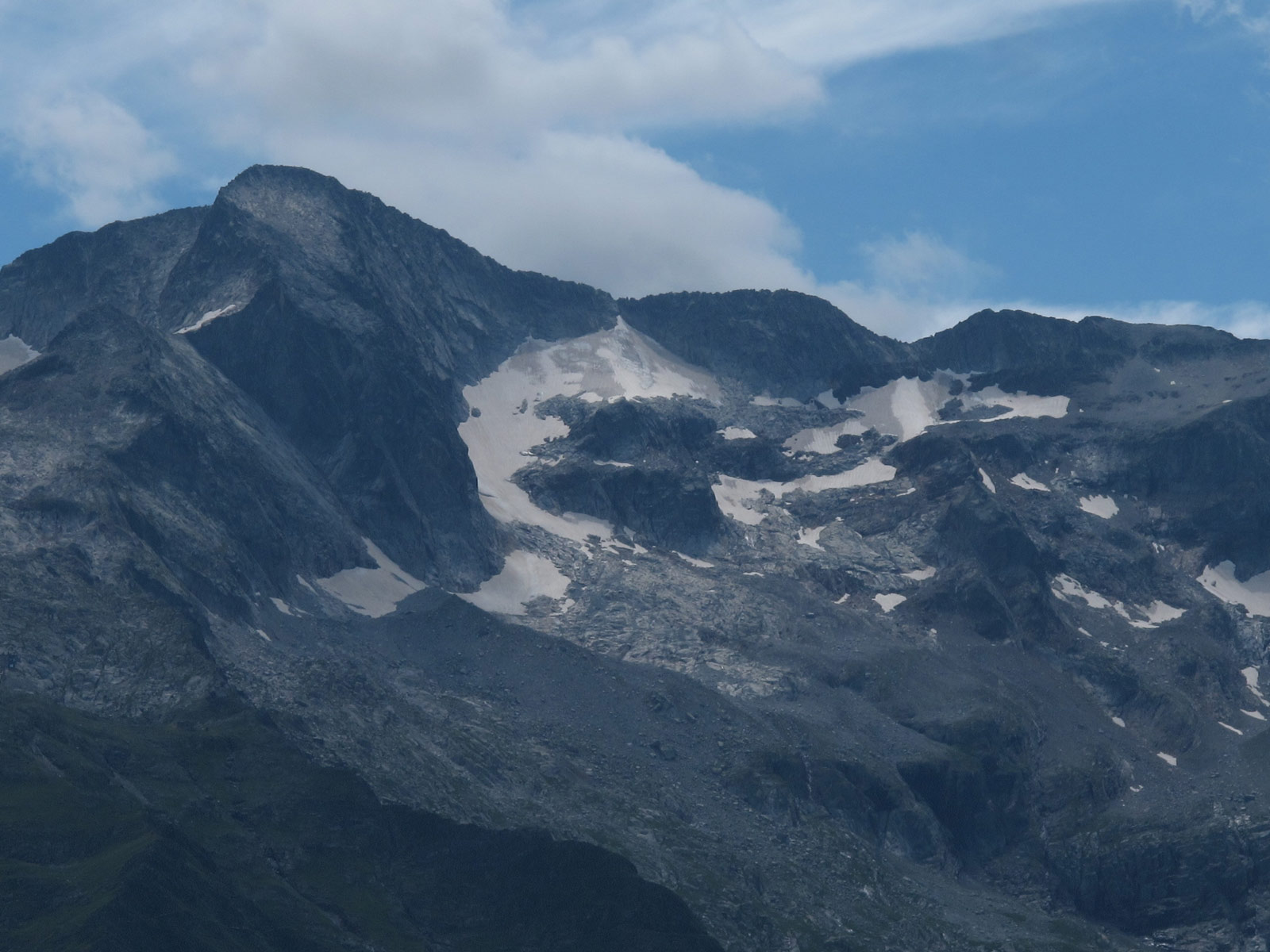
Comparativa de imágenes


Comparison over 17 years.
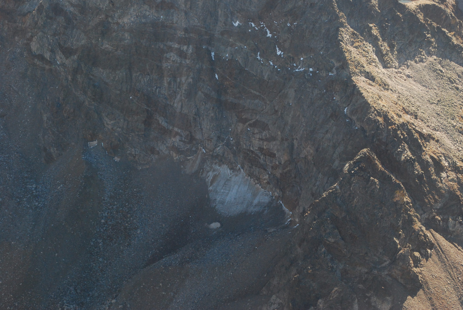
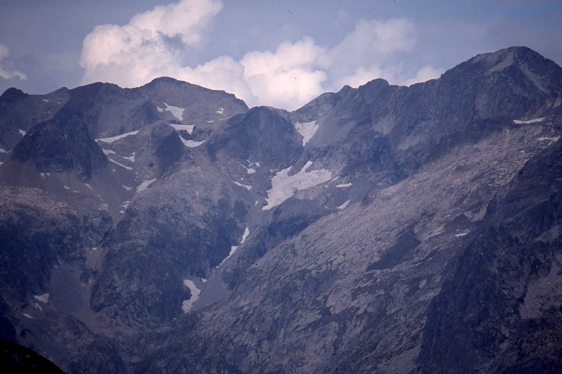
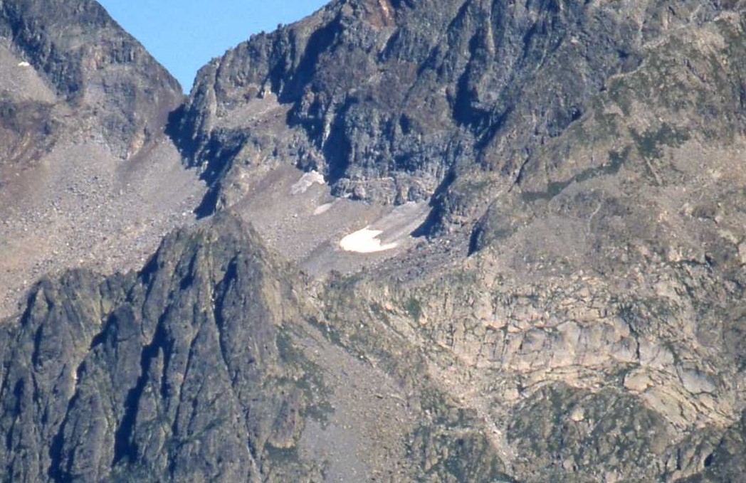
The Gourgs Blancs rockfall in the process of fragmentation in 2006, hinting at its future decomposition and the importance of the debris cover. (Pierre René).
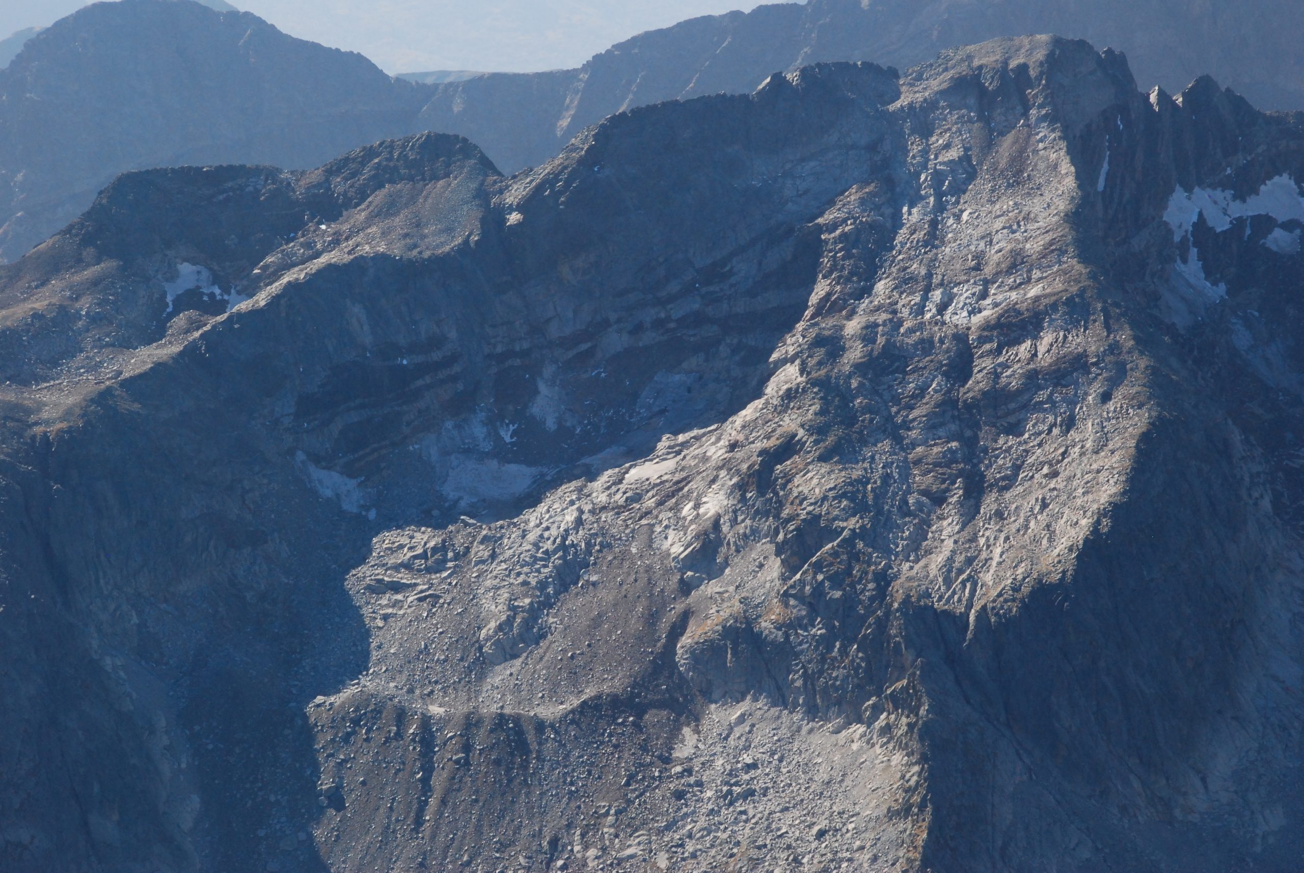
In 2023. On the left, the very small and blackish eastern rockfall. In the centre, the largest fragment, also very well camouflaged. (Galou Rando).