Español
 Català
 Français
 English
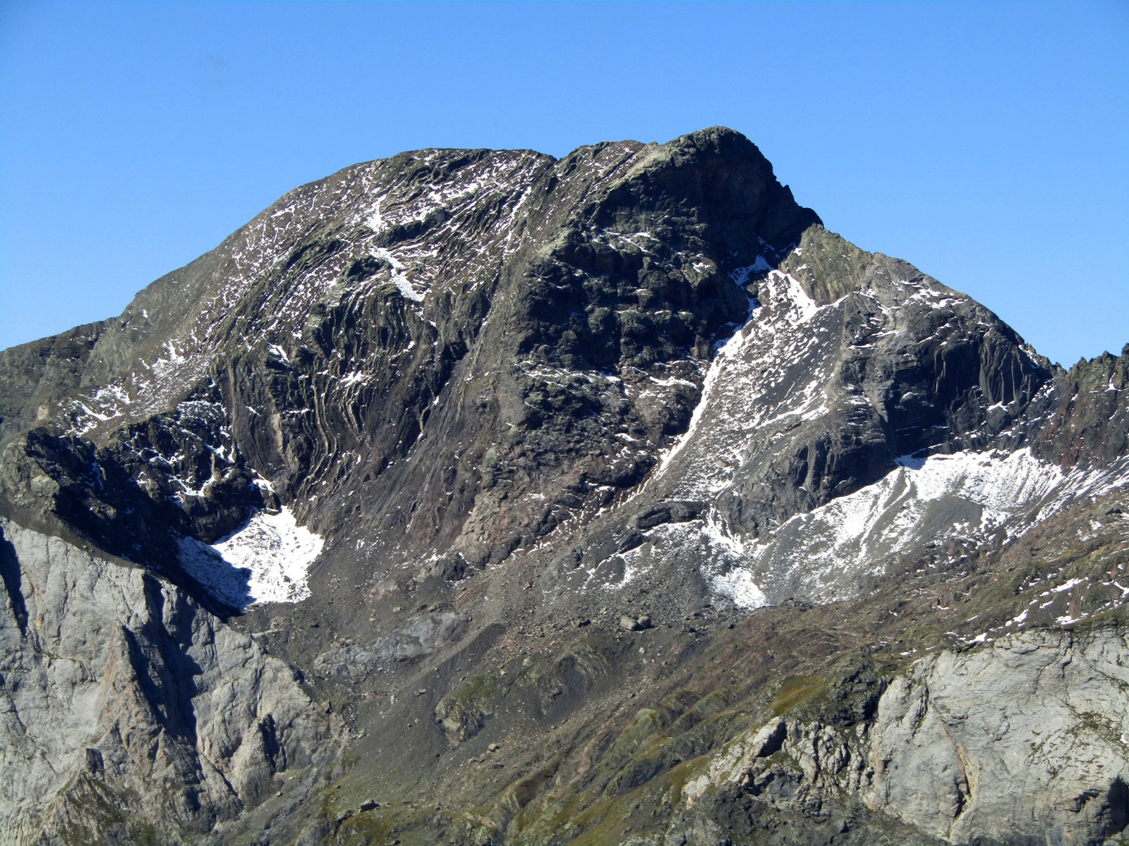
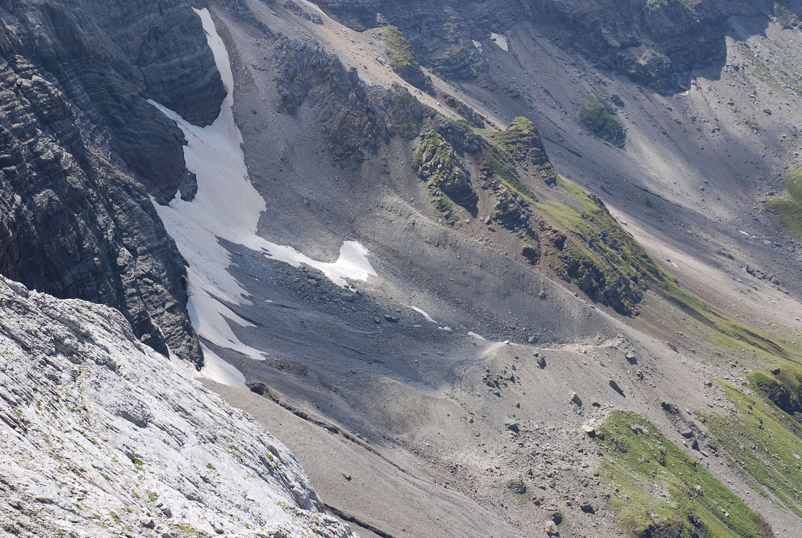
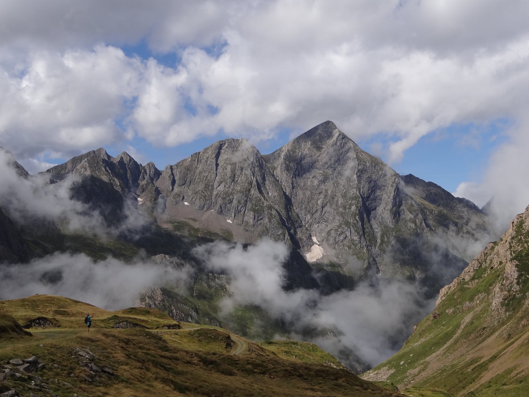
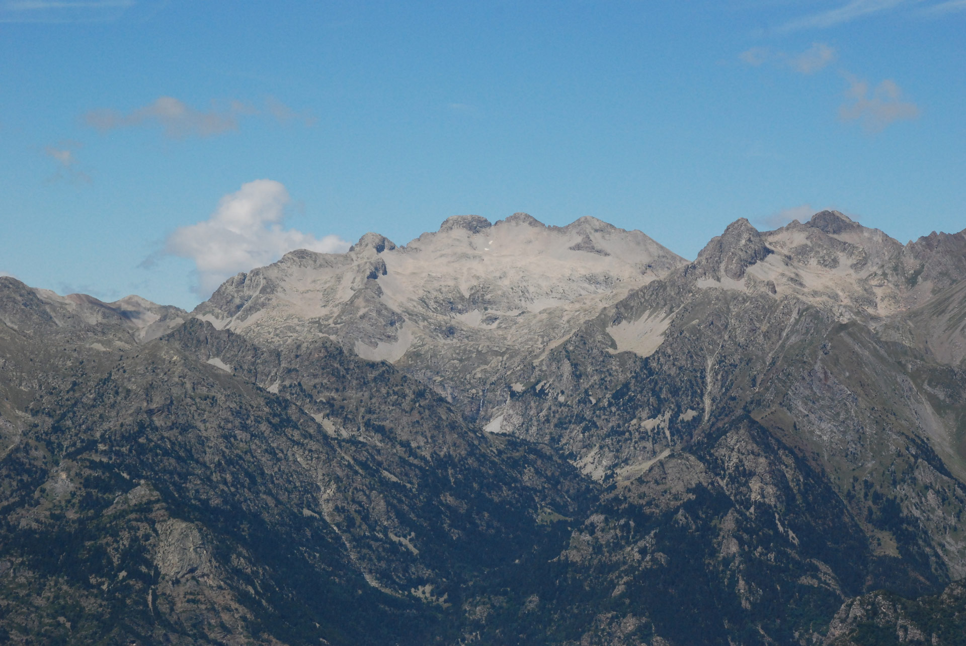
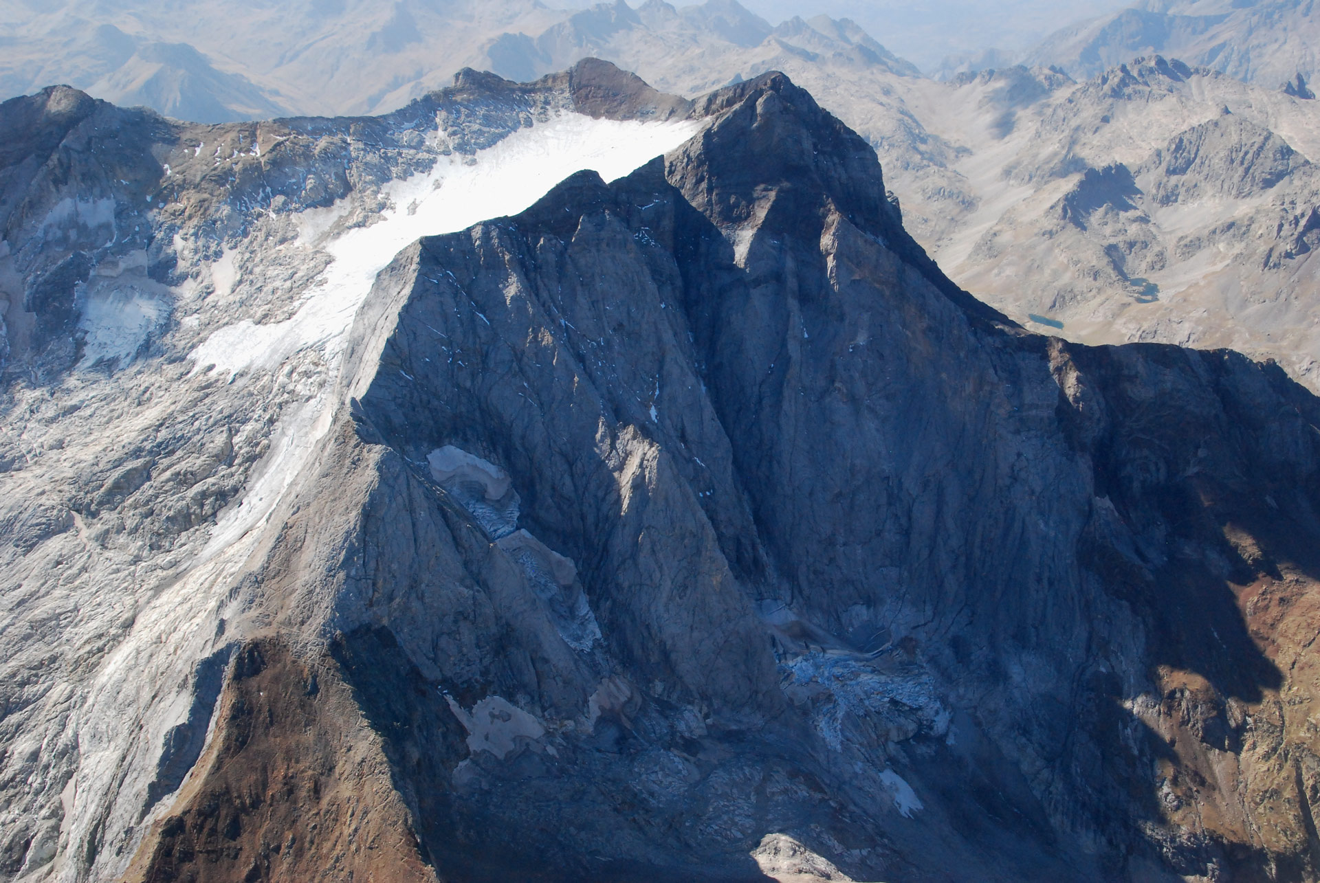
The Munia Massif has numerous valleys caused by the erosion of quaternary glaciers during the last glaciations. It is dominated by a number of peaks over 3,000 metres high. The main ones are La Munia (3.133 m), Tromouse (3.085 m), Heid (3,022 m) and Robiñera (3.003 m).
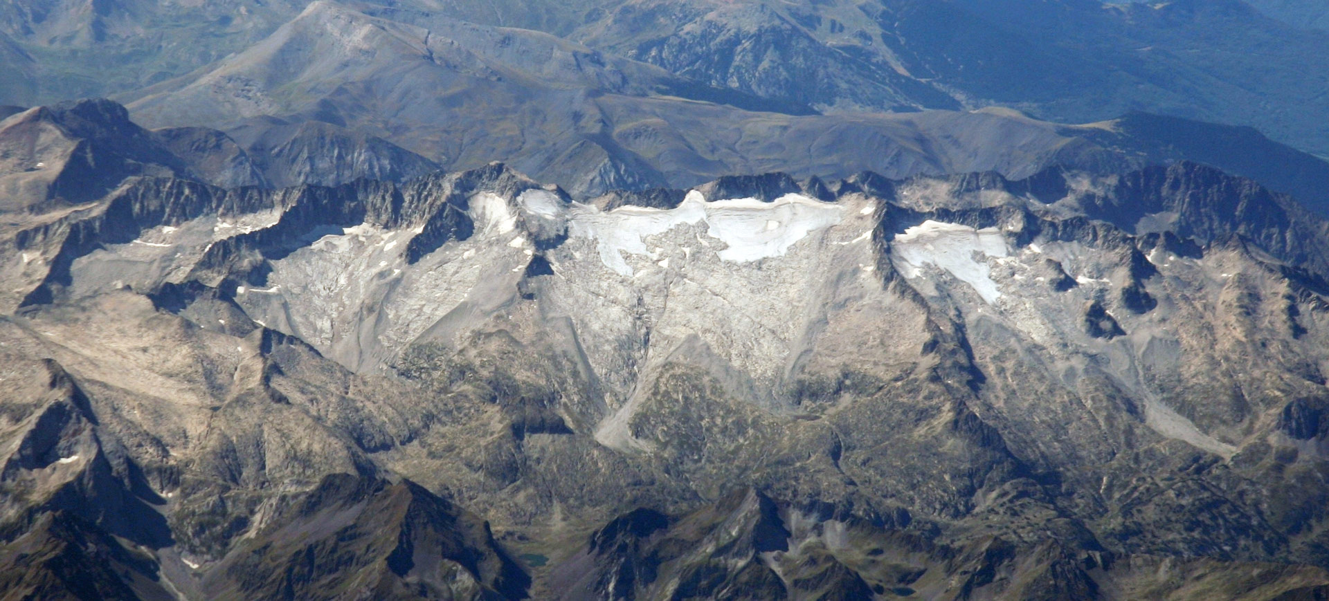
In the Munia Massif, at the beginning of the 1980s, 4 glacial were counted, which during the Little Ice Age totalled a glacier surface area of 47.5 ha. This represented 2% of the Pyrenean ice, making it the 9th massif with the largest glacial extension in the mountain range.
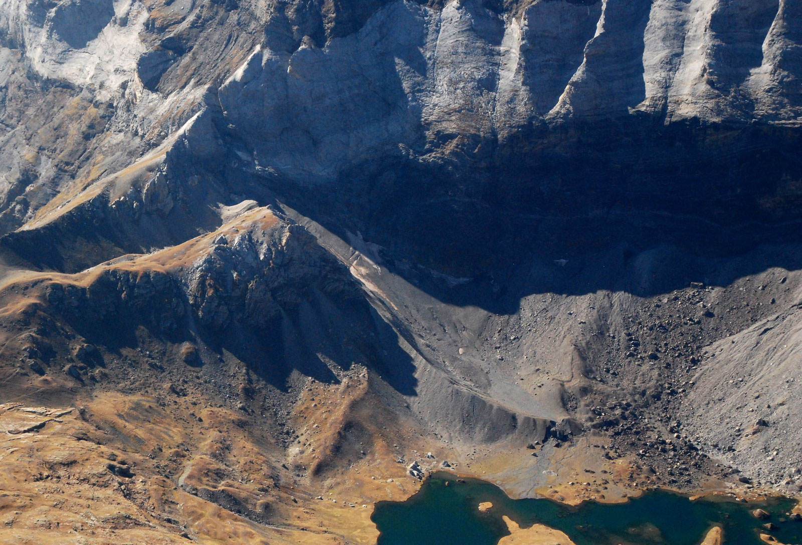
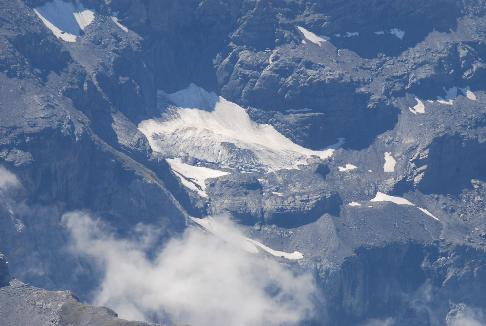
Two of them, Robiñera and Pène Blanque, have recently become extinct. At present, the only active glacier in the massif is La Múnia and the only listed glacier is Barroude, both in French territory. Both have a total surface area of 5.6 ha, which represents a loss of 88.2% since the Little Ice Age, and is currently the 6th massif with the largest glacier surface area in the Pyrenees.
47,5ha
Glacial extension during the Little Ice Age
At that time, the La Múnia Massif was home to 2% of the Pyrenean ice, occupying ninth place in the mountain range in terms of glacial extension.
88,2%
Loss of ice since the Little Ice Age
Currently, with only 5.6 ha of glacial ice, the massif has lost a large part of its extension and occupies 6th place among the Pyrenean massifs with the most glaciers.
Location of the Munia Massif
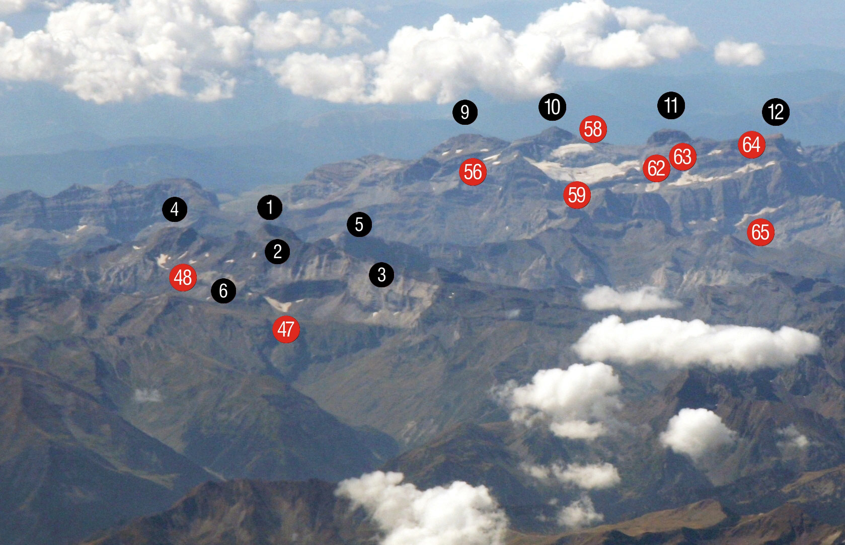
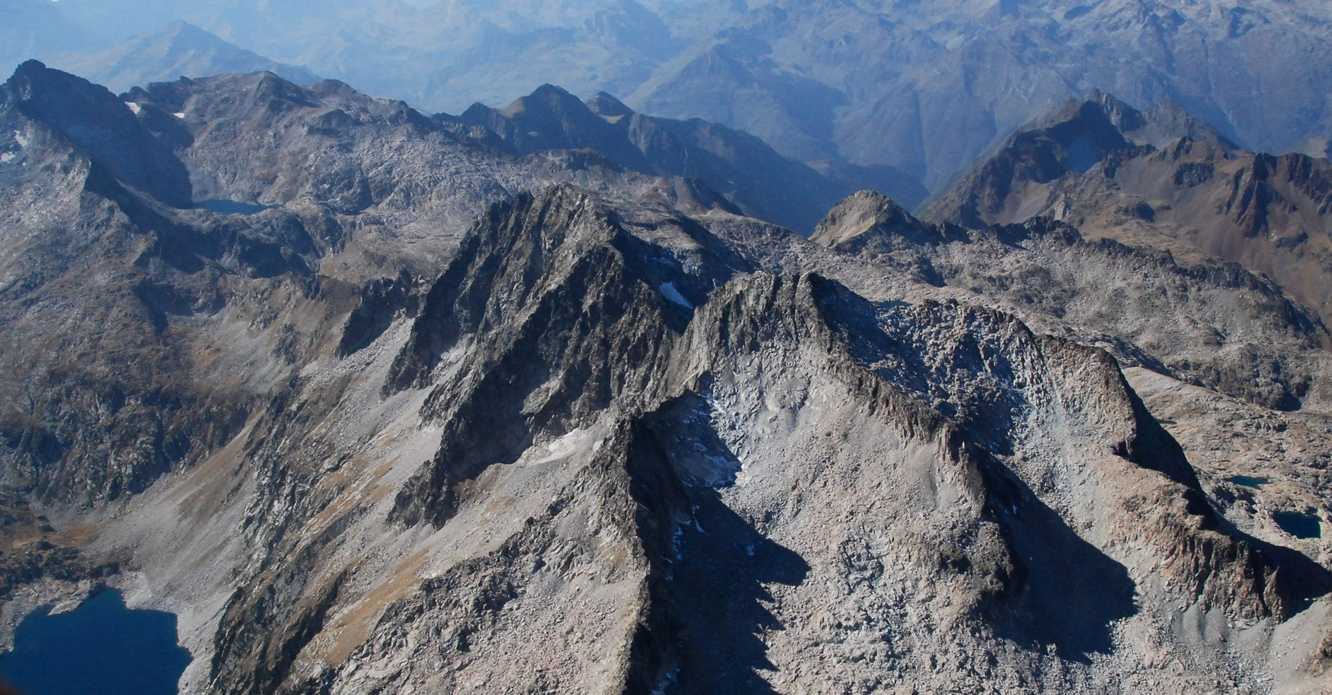
Pic de La Múnia (1), its glacier is hidden. Pic de Tromouse (2), Pic Heid (3), Pico Robiñera (4), Pène Blanque (5), its extinct ice cap is at its base and not visible. Port de Barroude or Barrosa (6). Glacial features: Barroude Ice Field (47), Robiñera Ice Field (48).
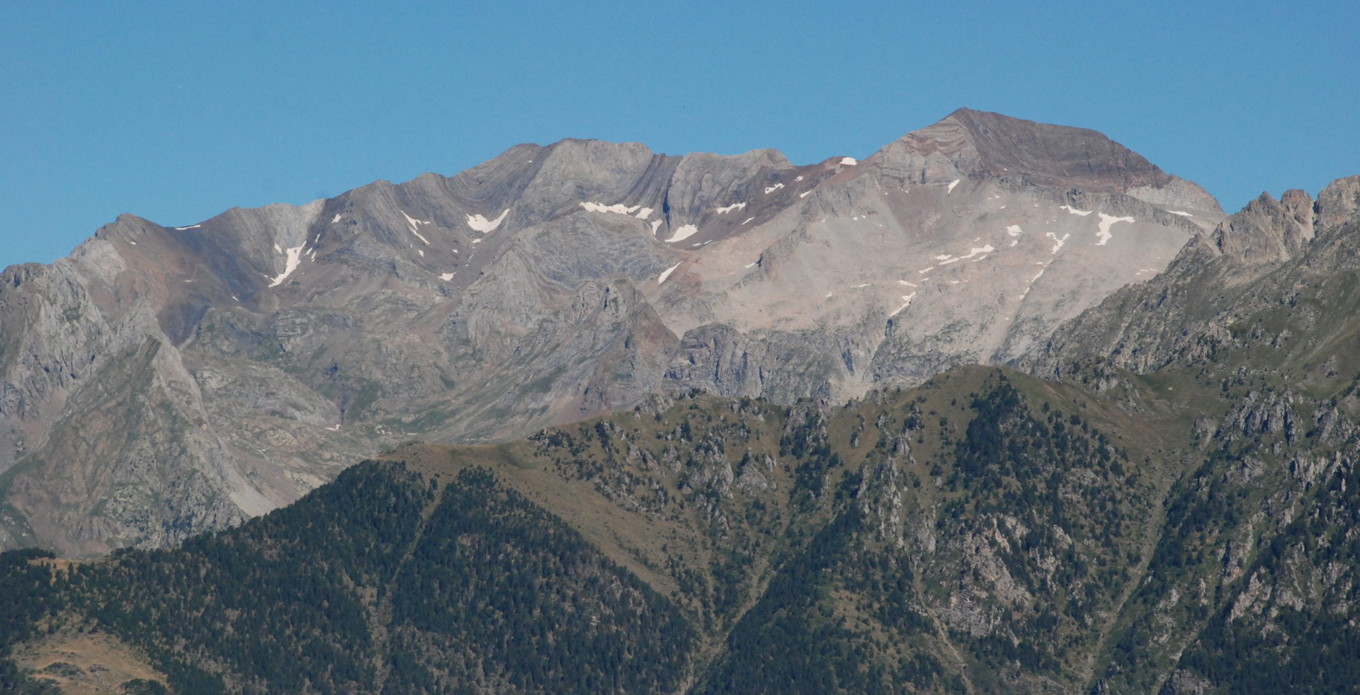
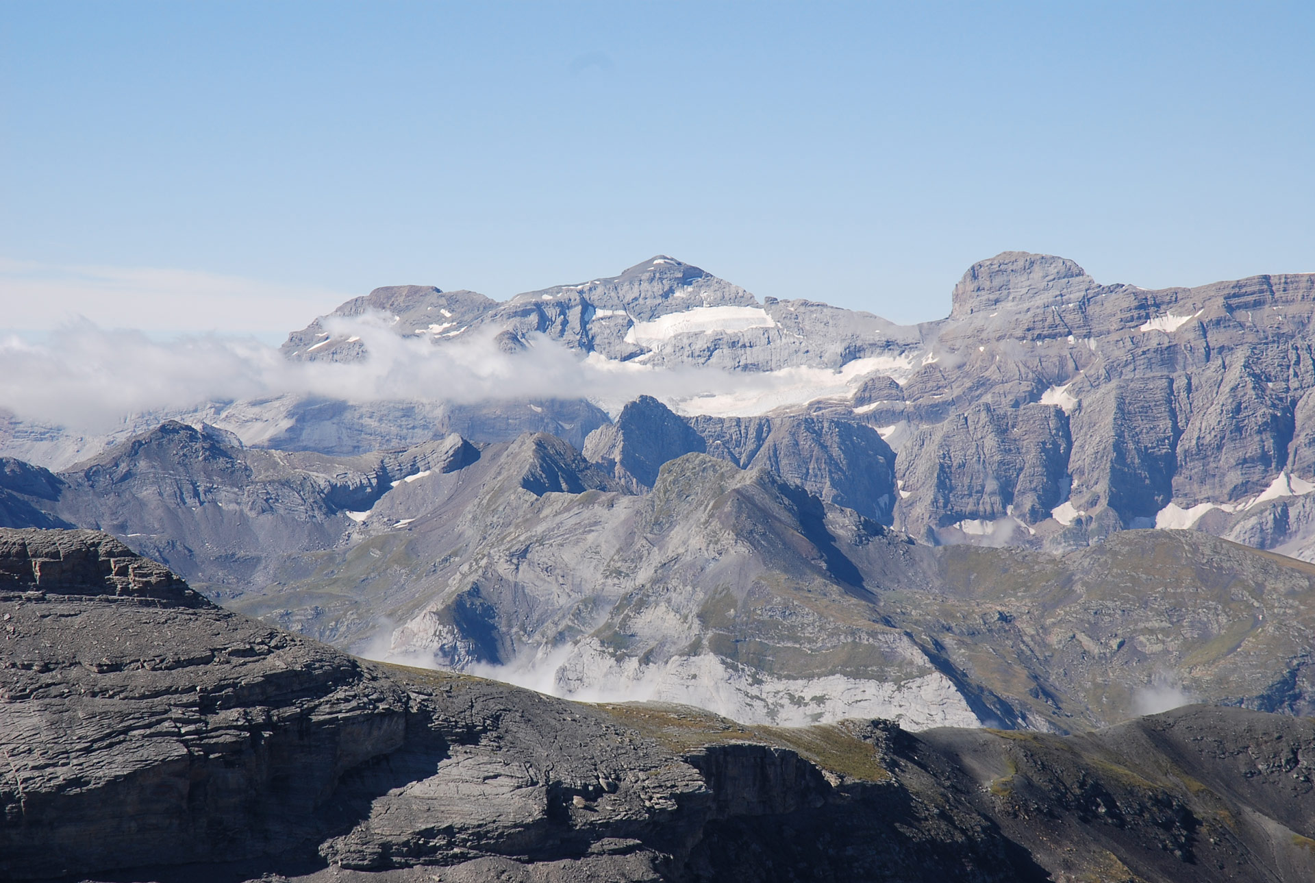
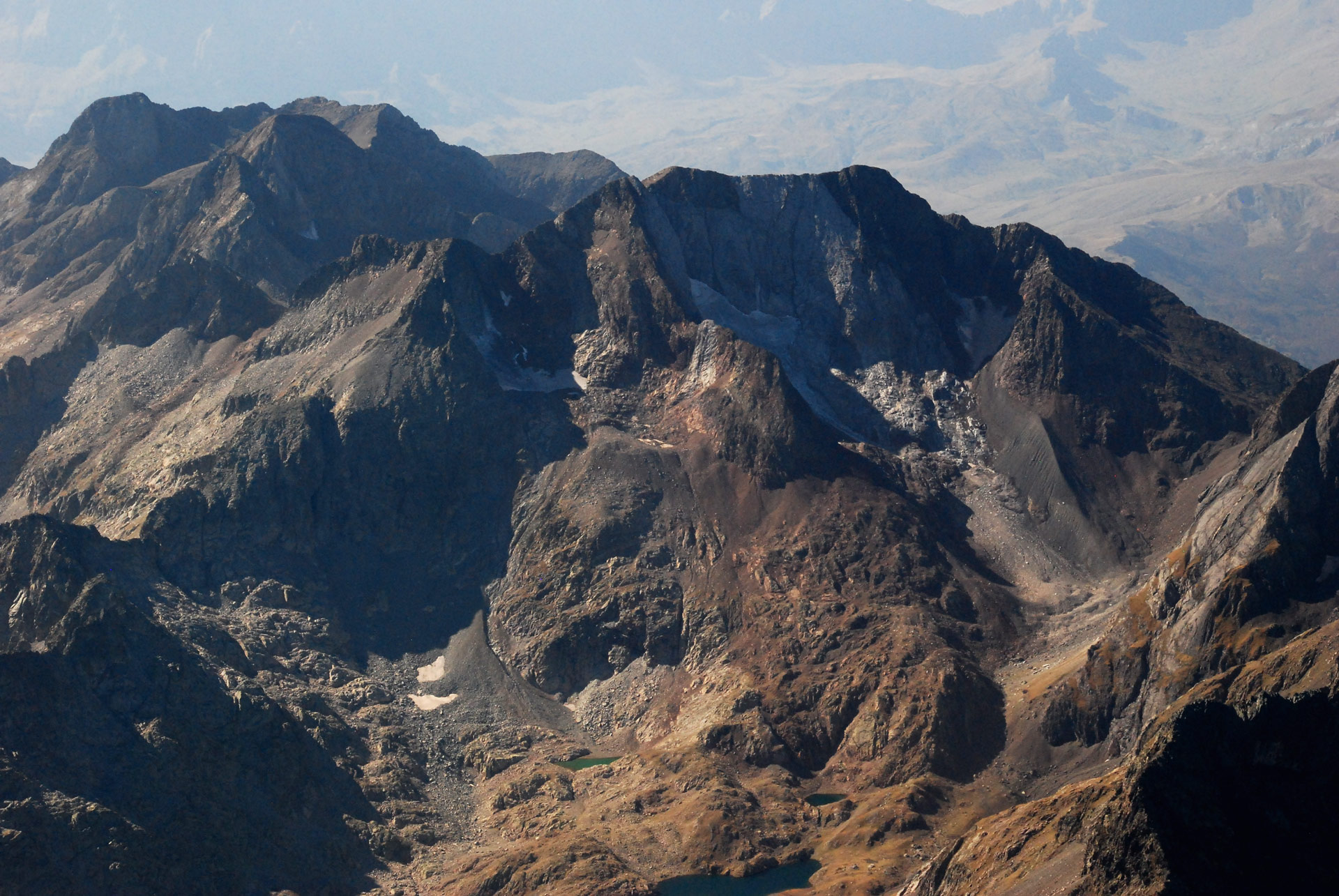
In the background, a partial view of the Monte Perdido and Gavarnie massifs: summits of Soum de Ramond (9), Monte Perdido (10), Cilindro de Marboré (11), Marboré (12). Glacial formations: Añisclo Northeast (56), Upper and Lower Monte Perdido (58-59). Eastern, Central and Western Marboré (62-63-64) and Astazú (65). (Jordi Camins – Marta Espinalt).