Español
 Català
 Euskara
 Français
 English
The Posets Massif, located entirely in Spanish territory, is home to a dozen peaks over 3,000 metres high, culminating in the second highest peak in the Pyrenees, the Pico de Posets (3,375 m).
During the Little Ice Age, its glaciers represented 6.4% of the Pyrenean ice. The ice surface in this massif reached 154 ha, making it the 6th massif with the largest glacier surface in the mountain range.
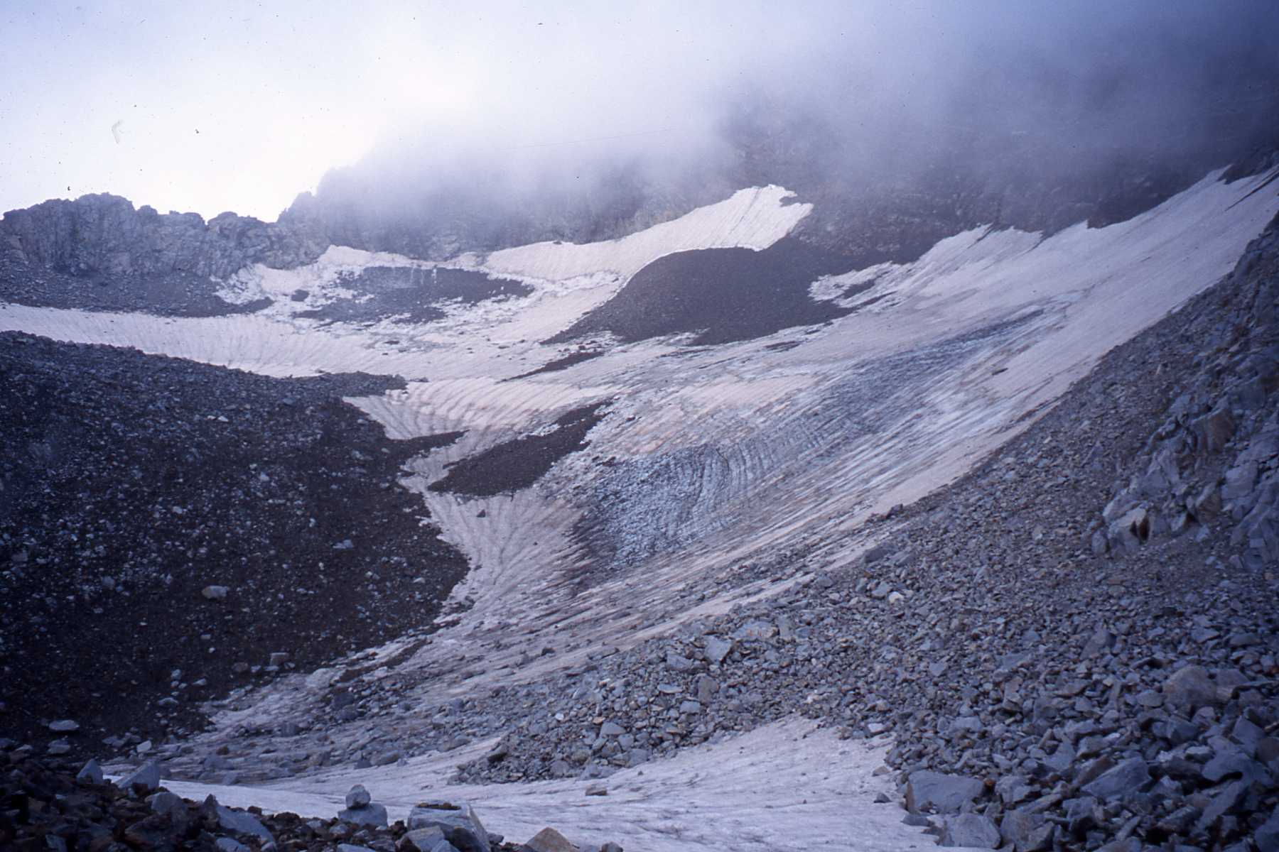
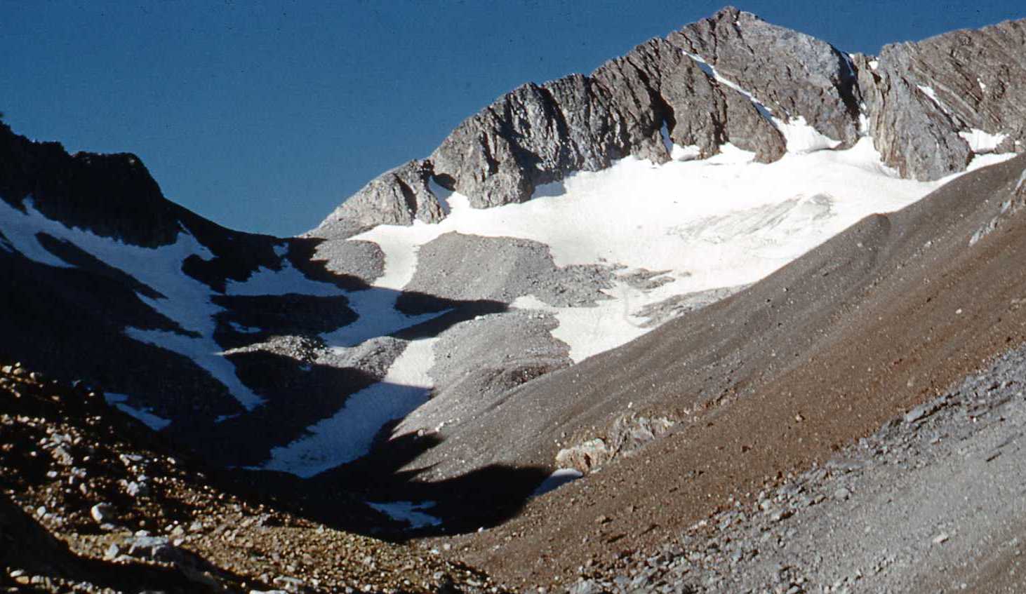
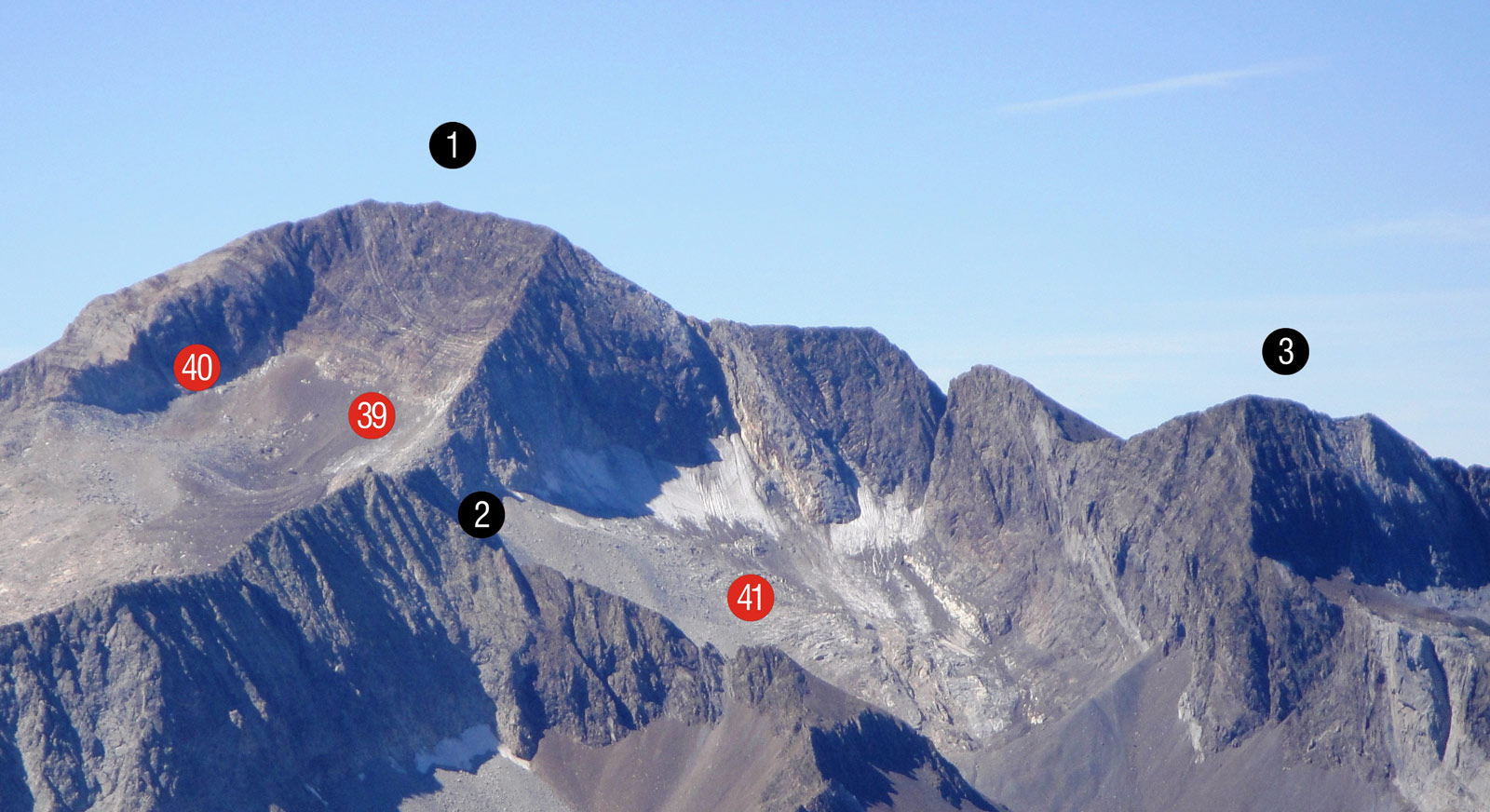
In 1982 there were 7 glaciers, five of which are now extinct. On the La Paúl glacier (41), activity has recently ceased, and it has become an ice field. Only the Llardana glacier (45) is still catalogued as a glacier today.
The massif has lost 96.6% of its ice in the last 175 years. With 5.2 ha of glacial ice, it is currently the 7th largest glacier area.
154ha
Glacier extension during the Little Ice Age
It was the sixth largest mass with the most glacial surface in the Pyrenees, representing 6.4% of the total mountain range.
96,6%
Ice loss in the last 175 years
El Macizo de Posets ha perdido la mayor parte de su hielo, quedando actualmente con solo 5,2 hectáreas de hielo glacial.
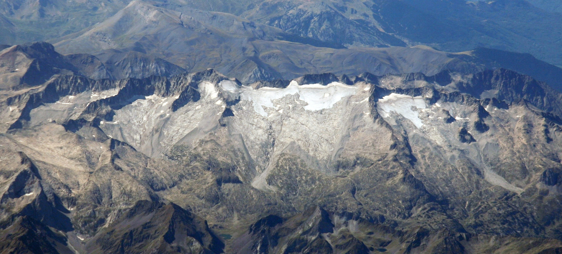
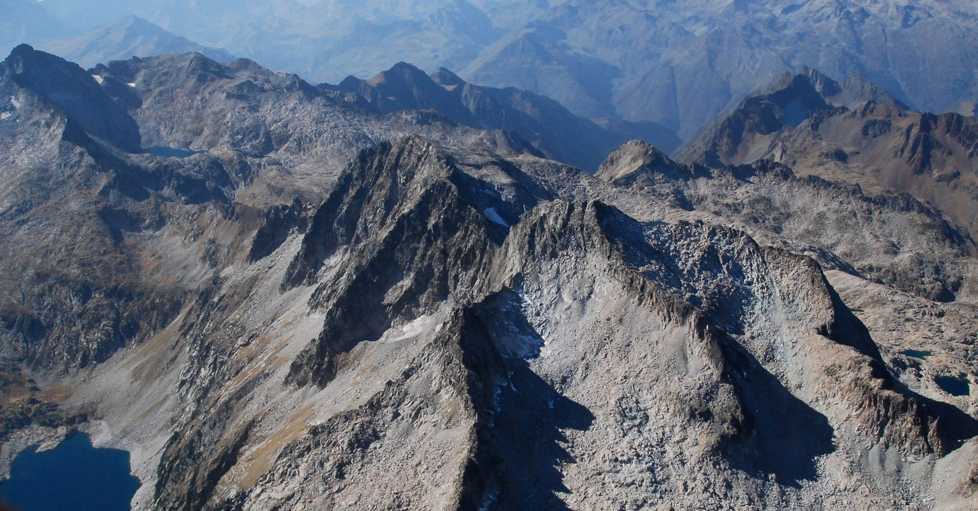
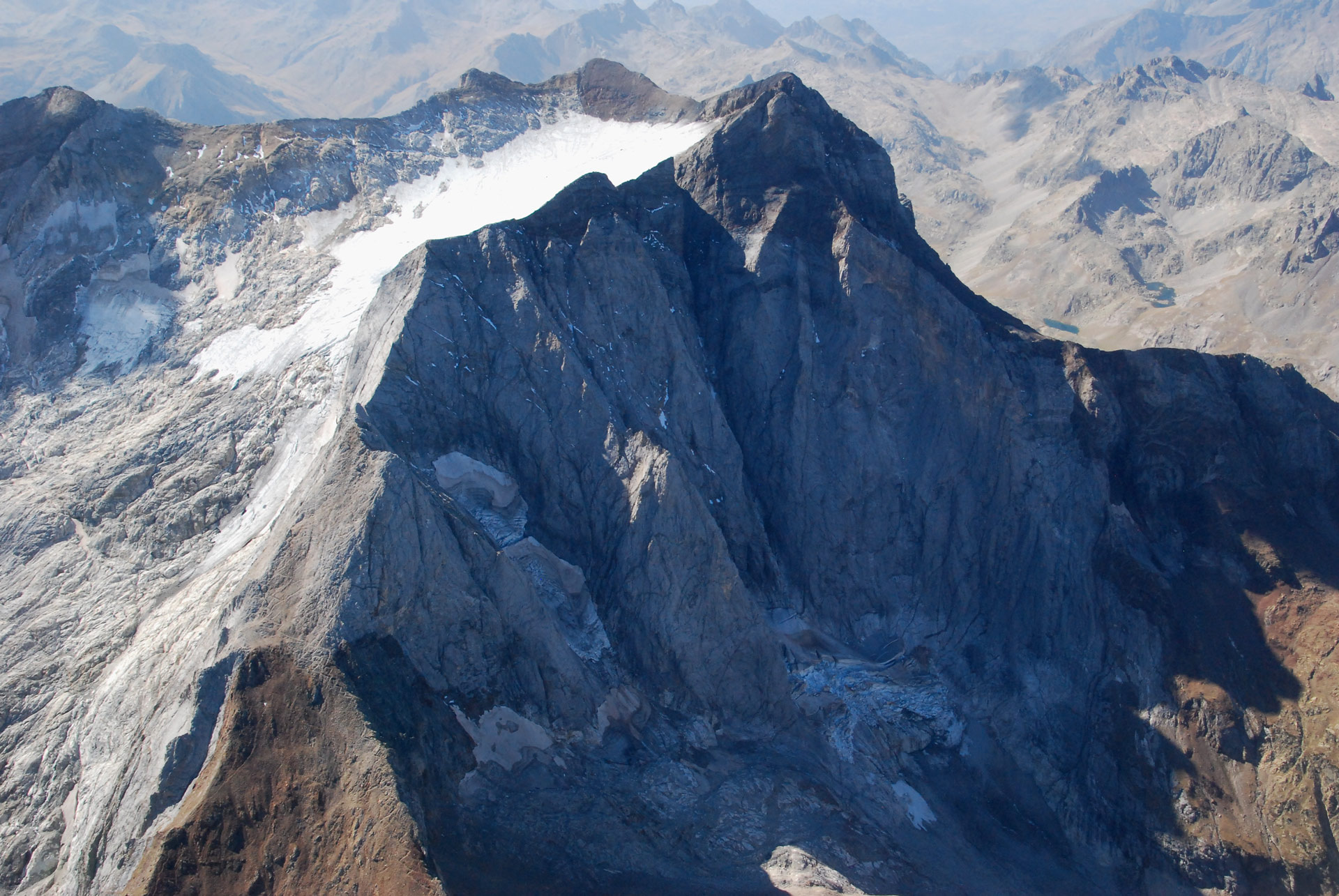
Location of the Posets Massif (east and northeast slopes)
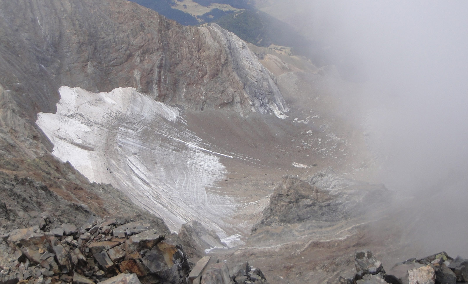
Pico de Posets (1), Pico de los Gemelos (3), Collado de La Paül (2). AG de Posets Norte (39), Posets Sur (40), Helero de la Paül (41). (Jordi Camins 2012).
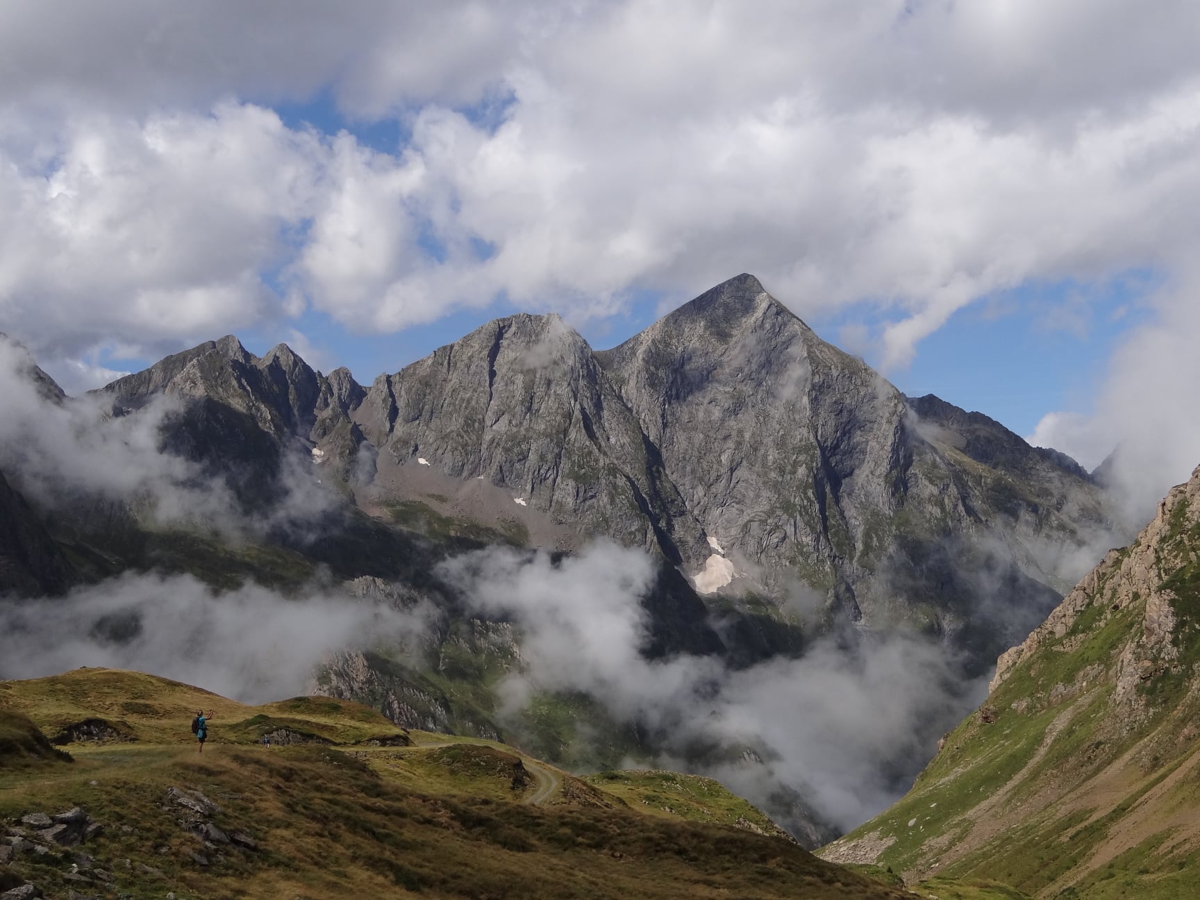
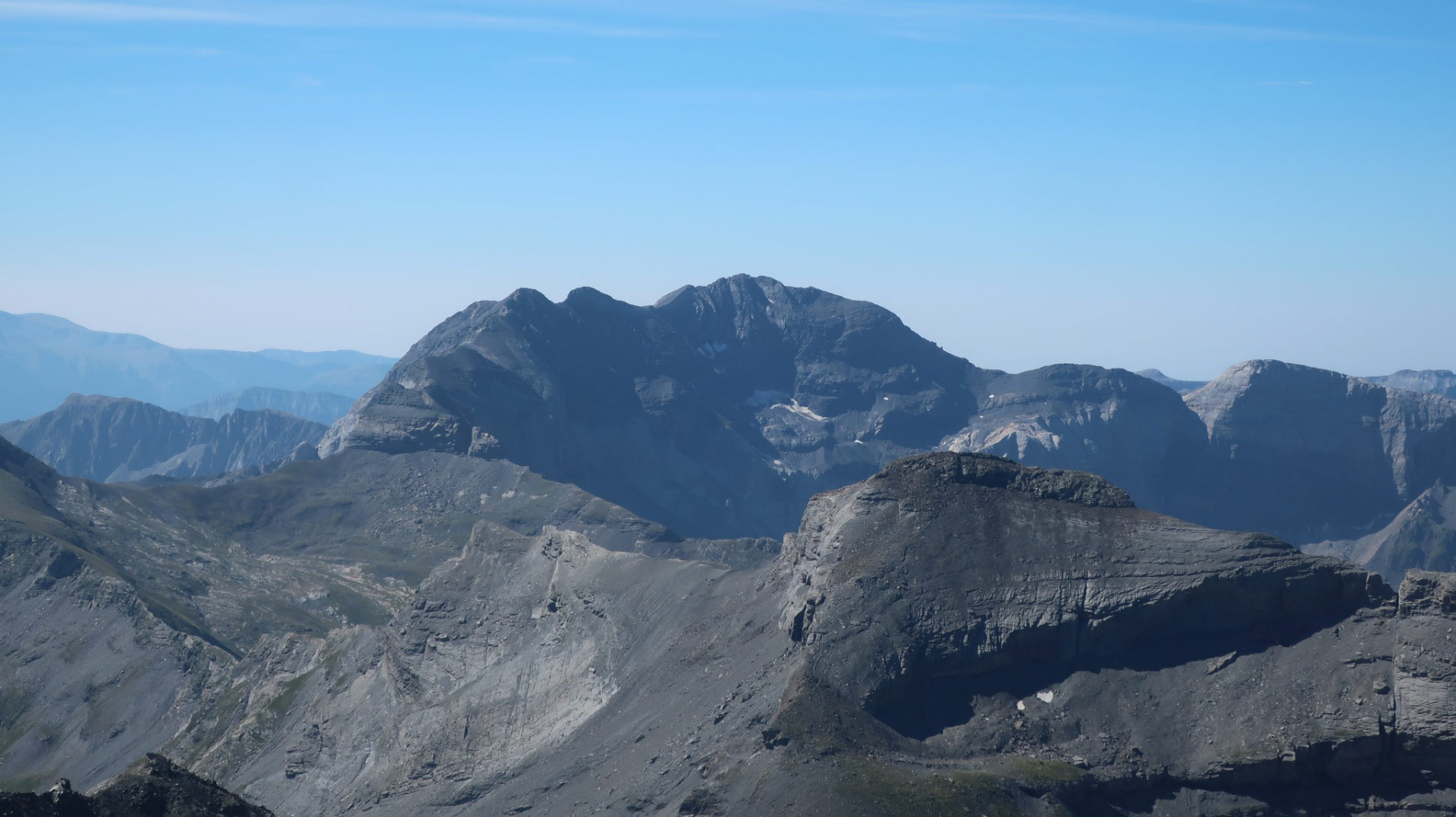
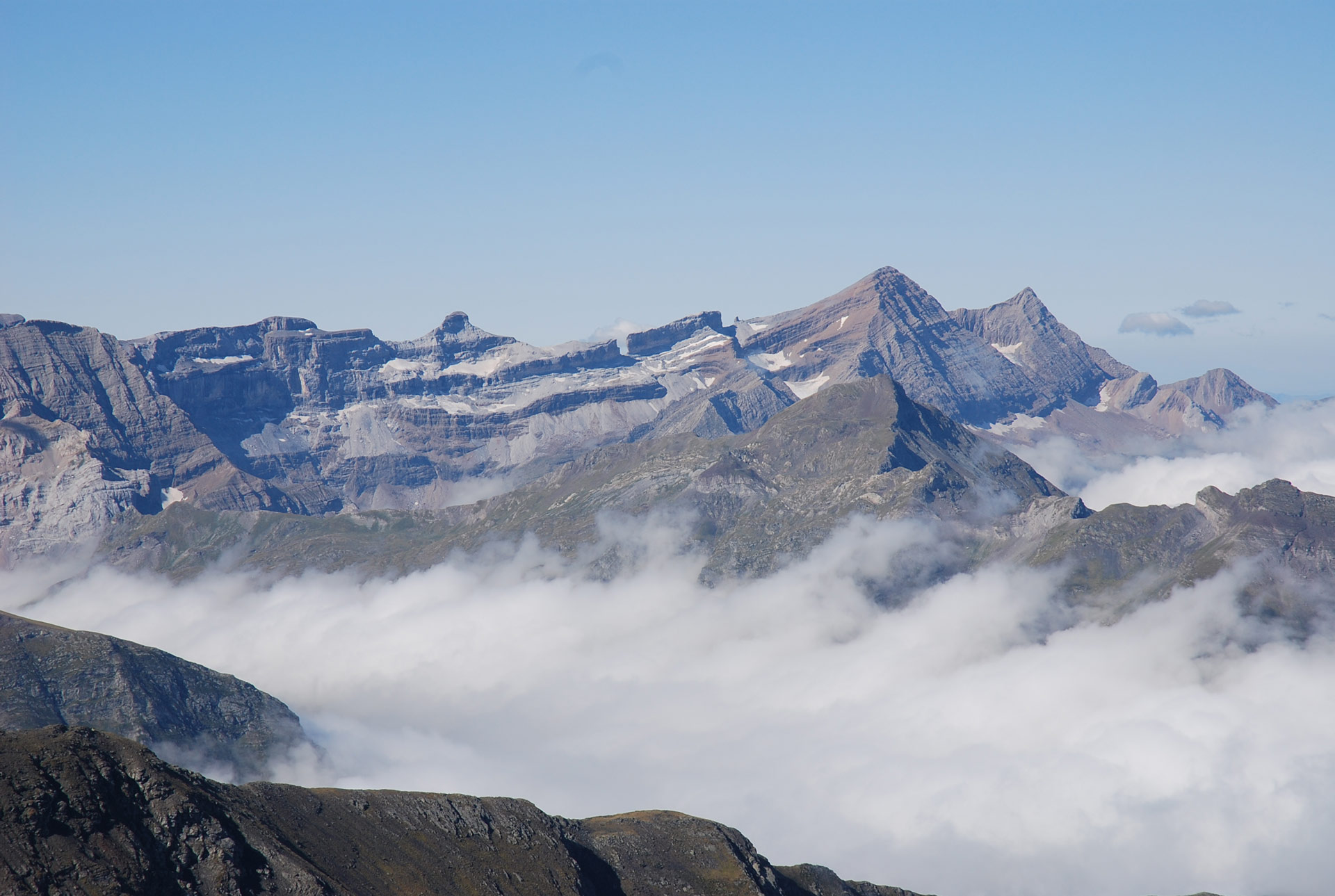
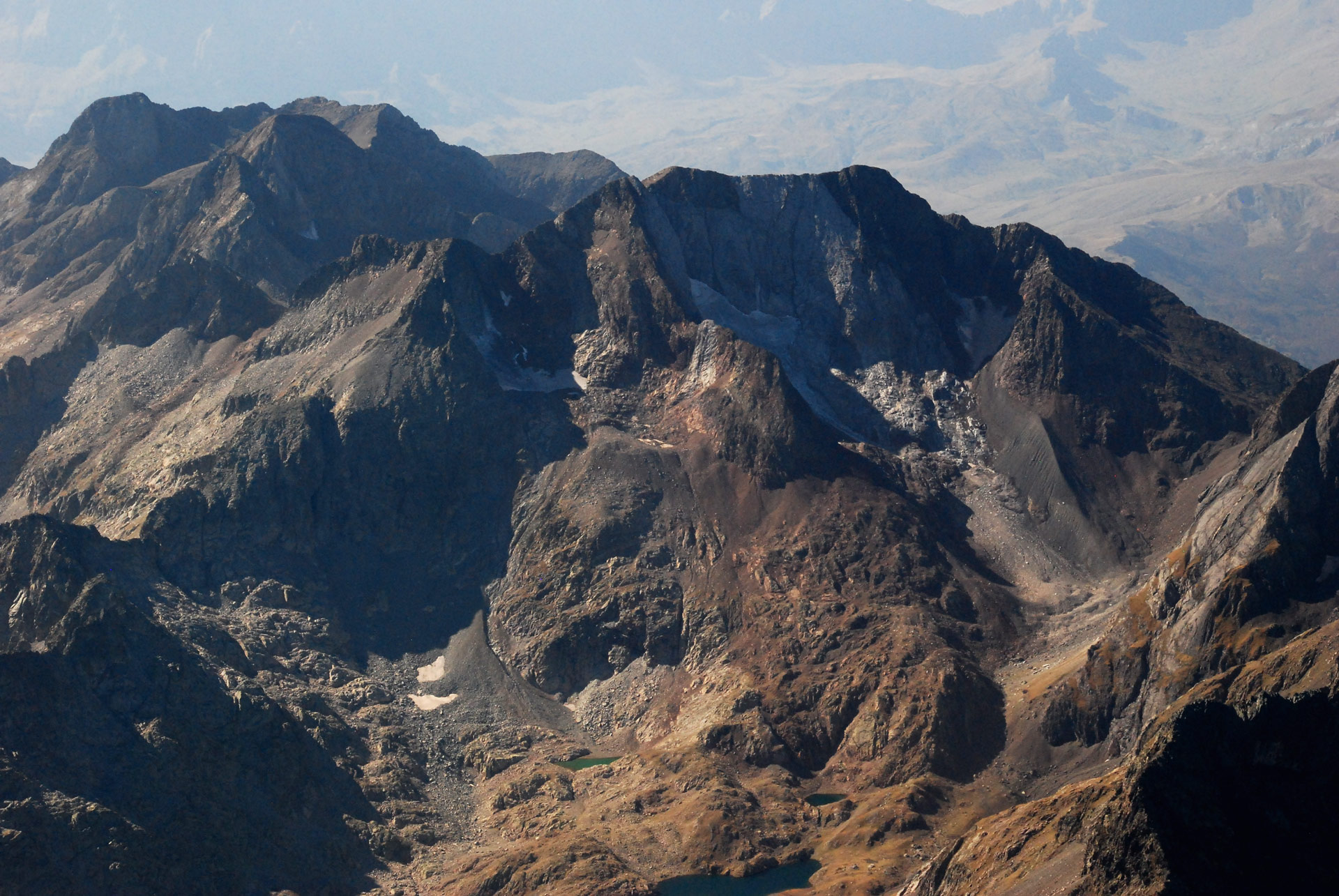
Location of the Posets Massif (southern slope)
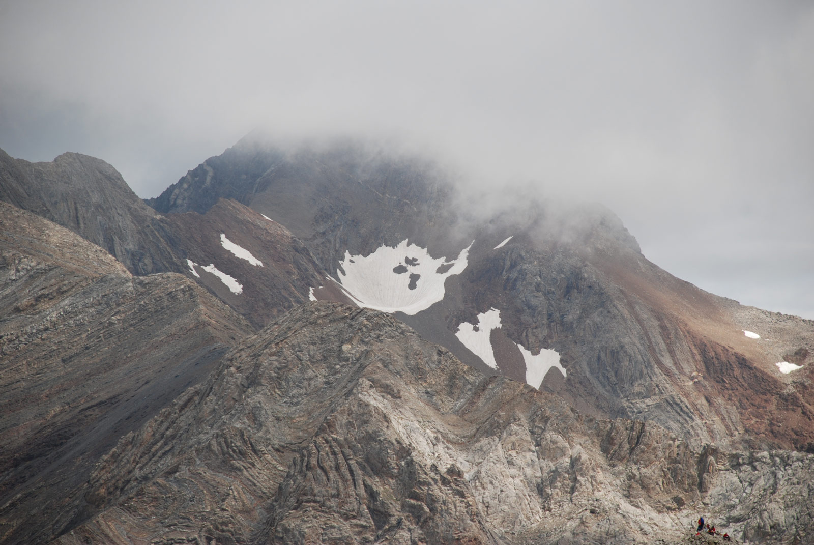
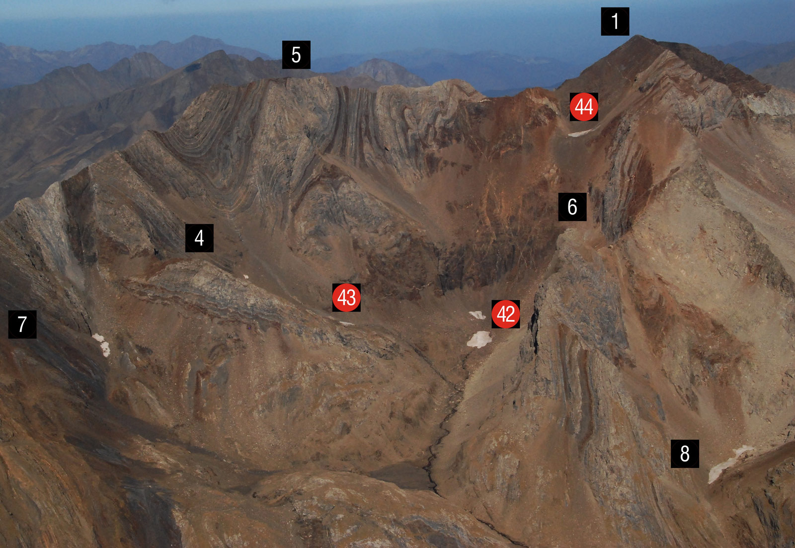
The extinct glaciers Oriental (42) and Occidental del Forau de la Neu (43) and Llardaneta (44) glaciers, with tiny snowfields in their former location. Posets (1), Espadas (5), Pavots (7), Tuca del Forau de la Neu (4), Diente de Llardana (6), and Canal Fonda (8) peaks, through which the Royal Route passes, the normal route for climbing Posets from the Forcau refuge.
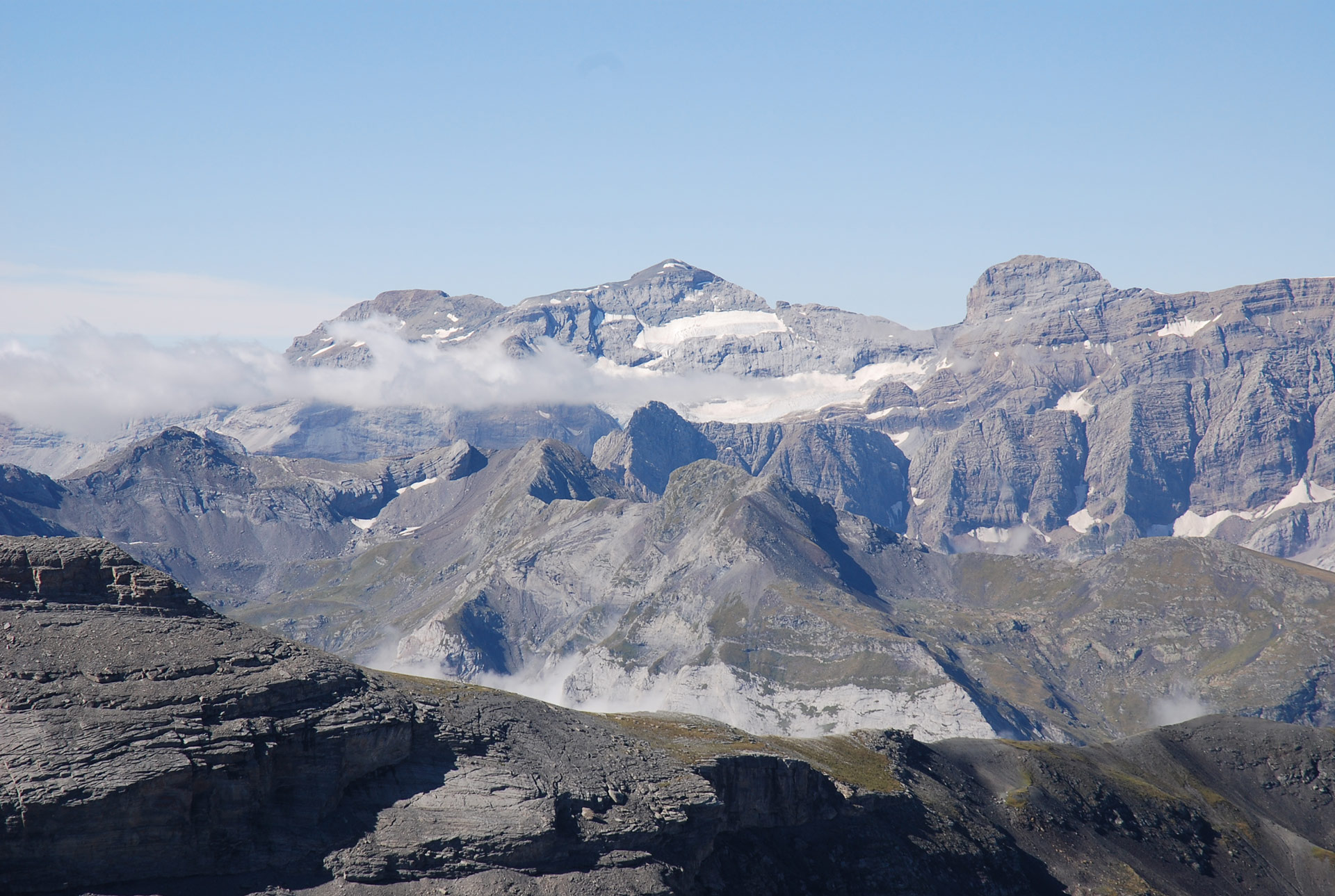
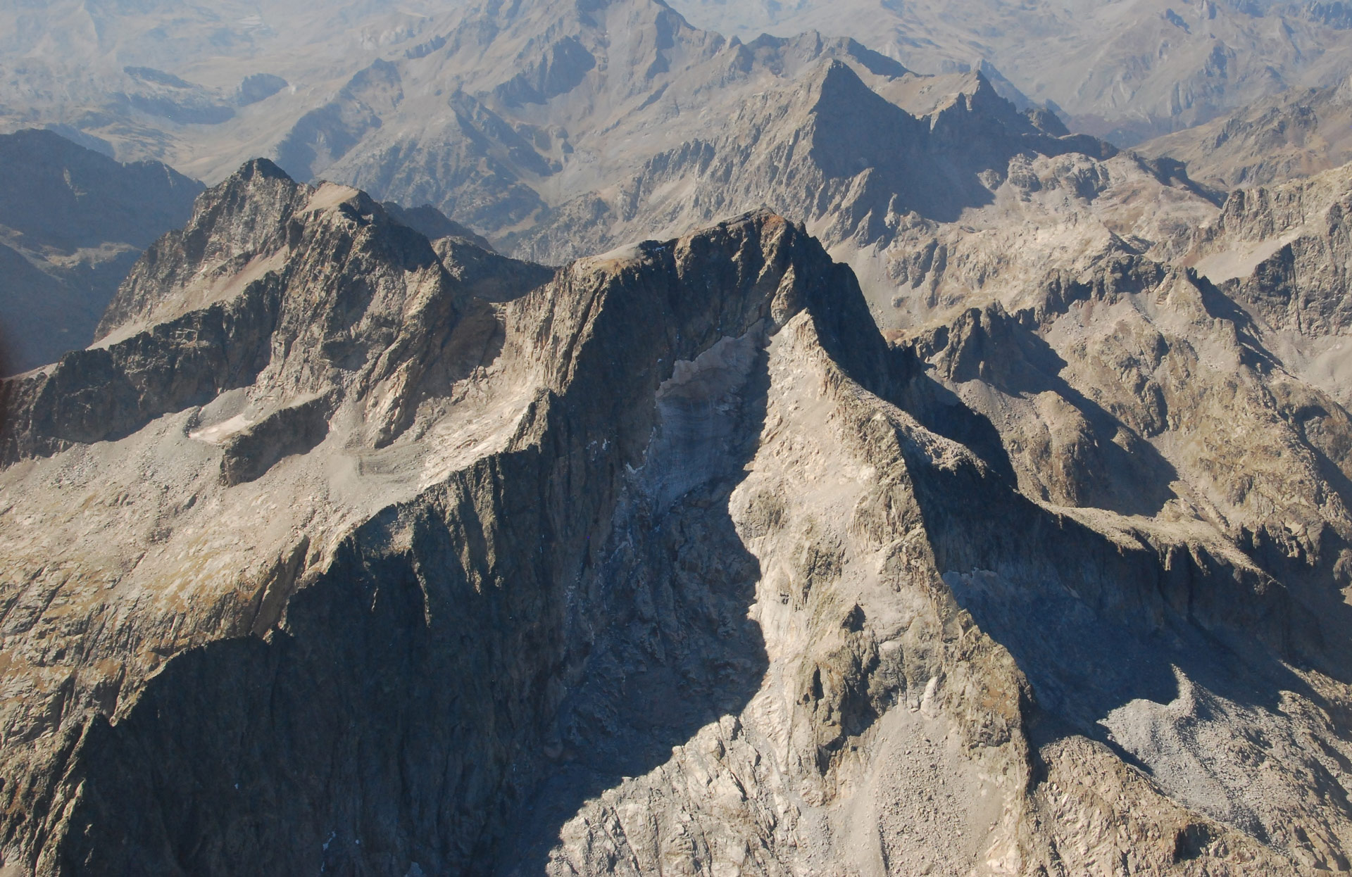
Location of the northern slope of the Posets Massif
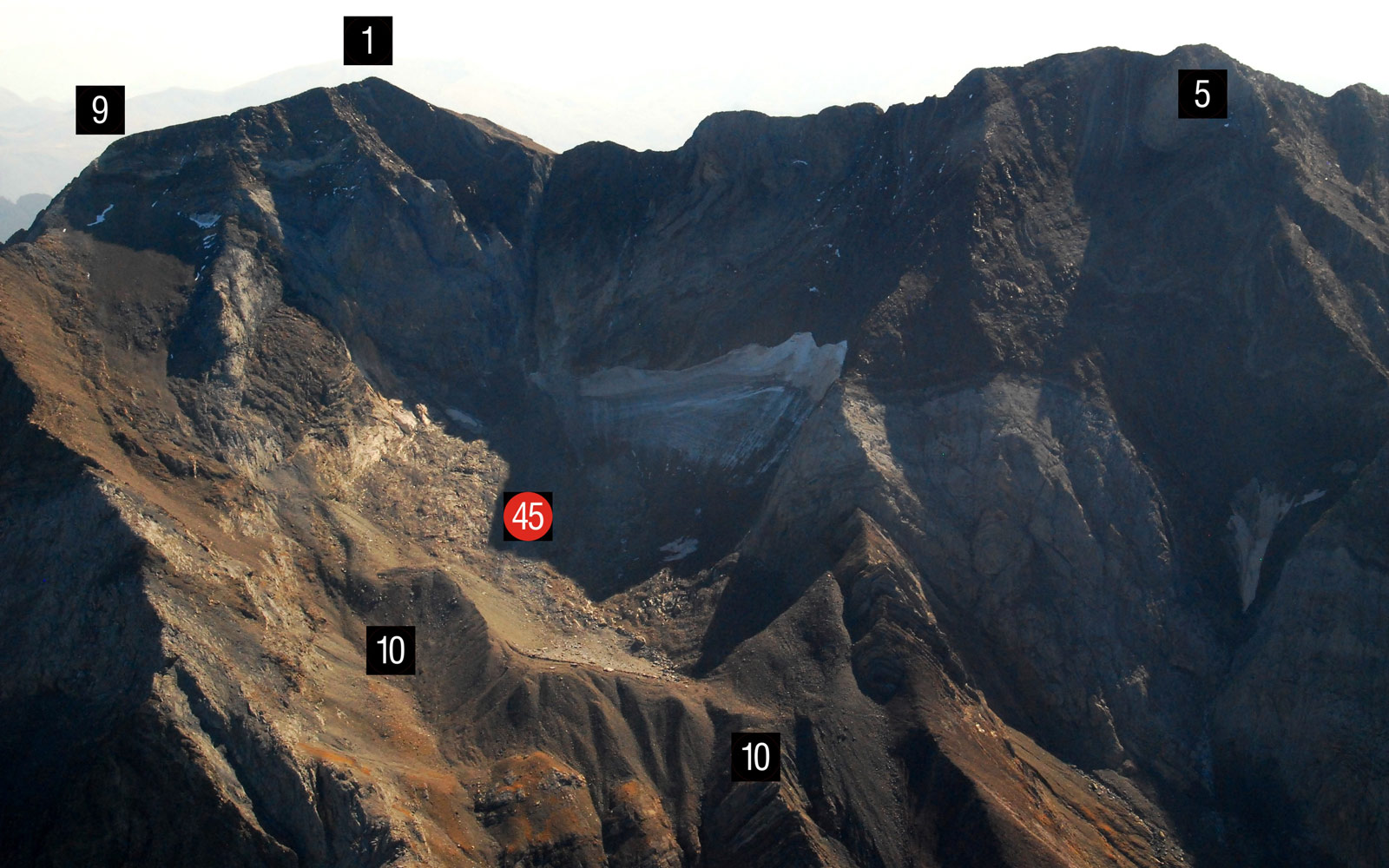
View of the northern face of the Posets Massif. Llardana Glacier (45) with its PEH moraine (10). Summits of Posets (1), North Posets (9) and Espadas (5). (Jordi Camins – 2017).