Español
 Català
 Euskara
 Français
 English
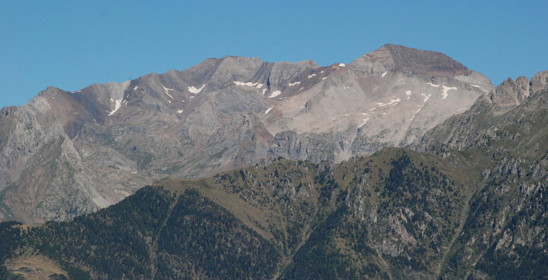
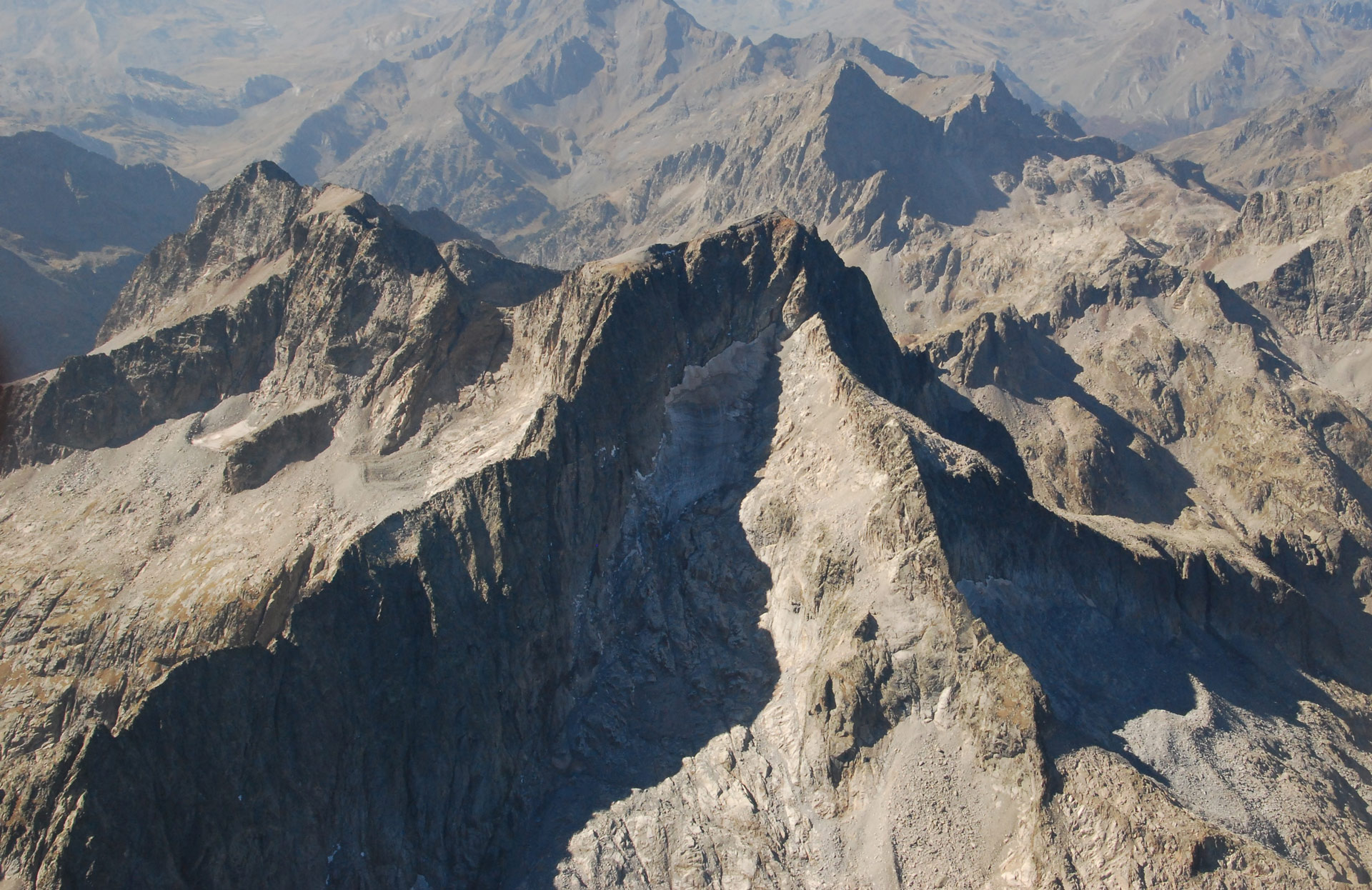
The Ordesa y Monte Perdido National Park is presided over by the summit of Monte Perdido (3,355 m), the third highest in the Pyrenees together with Punta Astorg in the Aneto-Maladeta Massif.
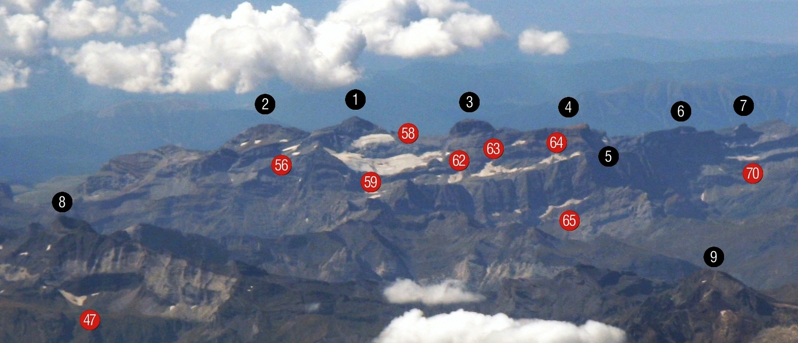
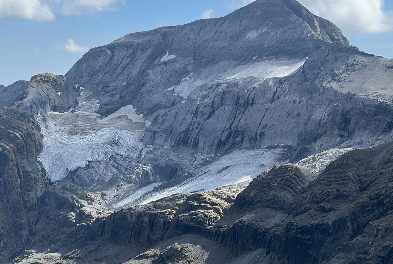
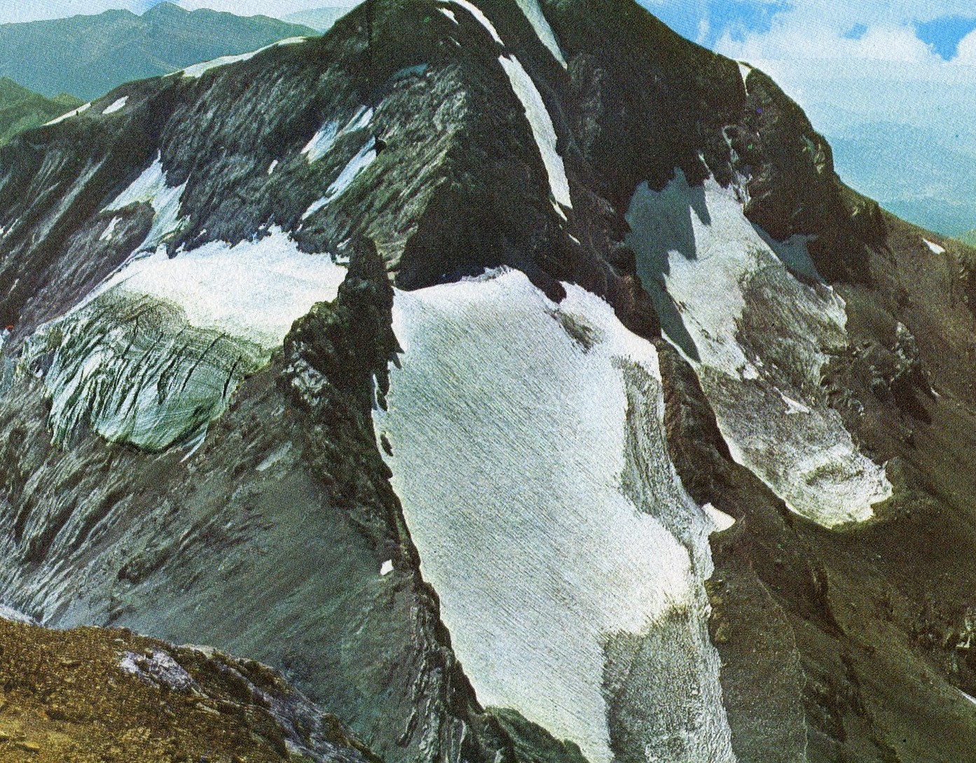
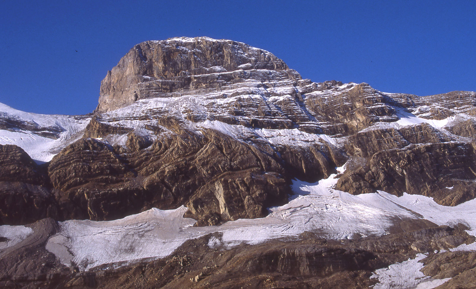
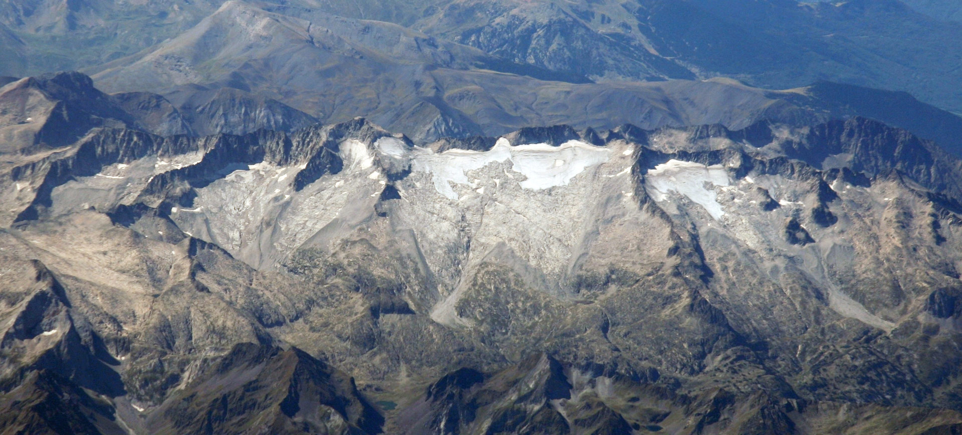
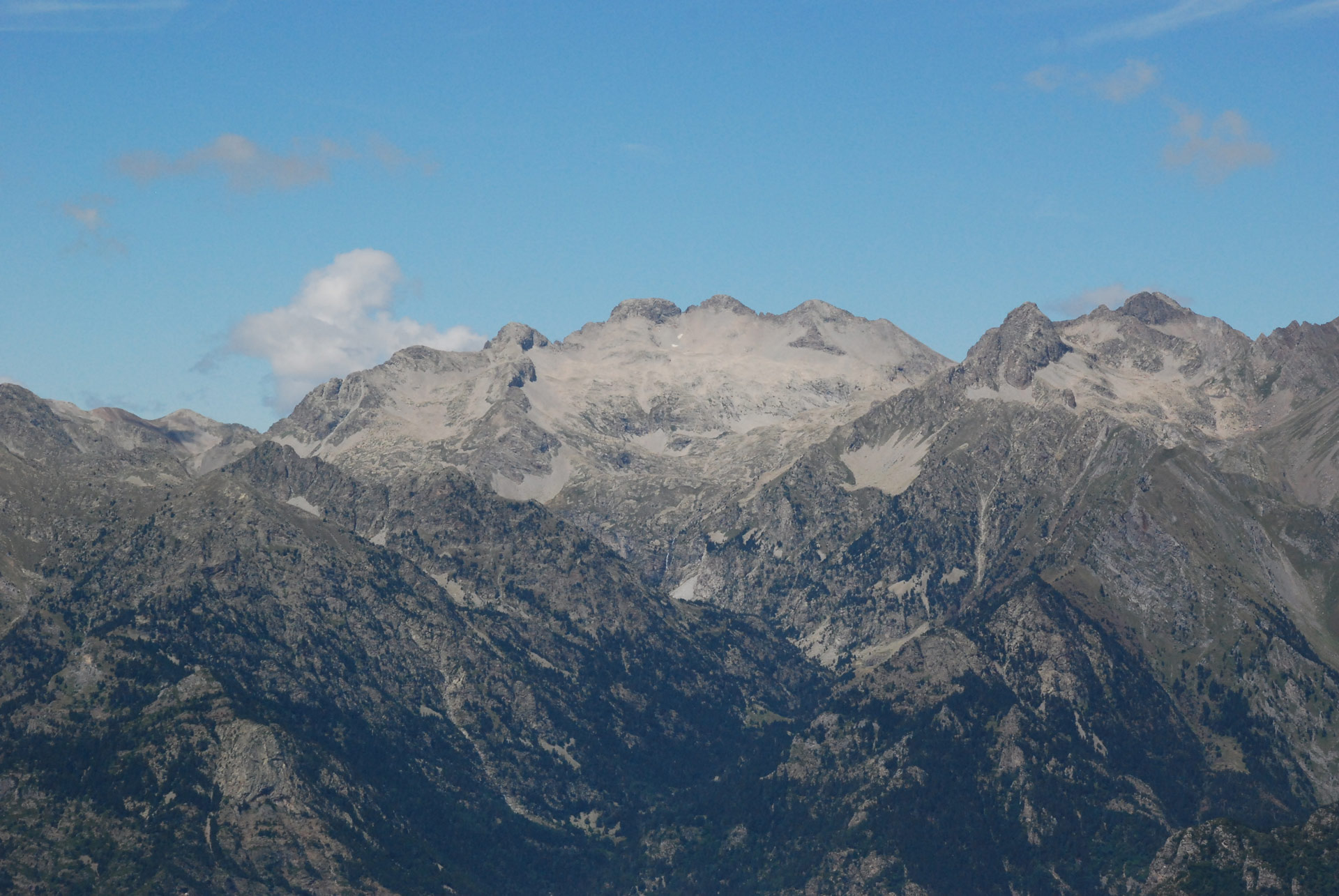
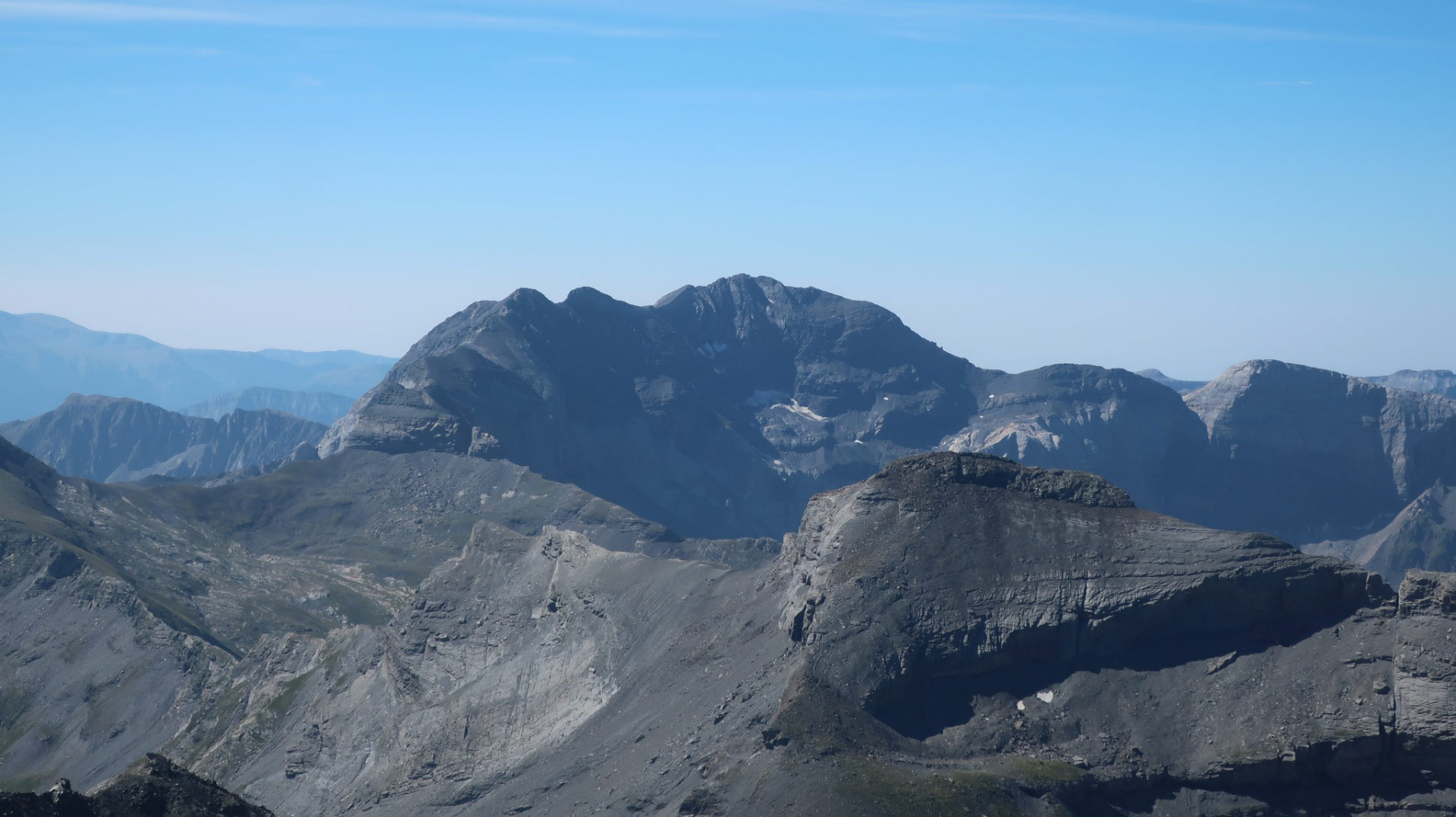
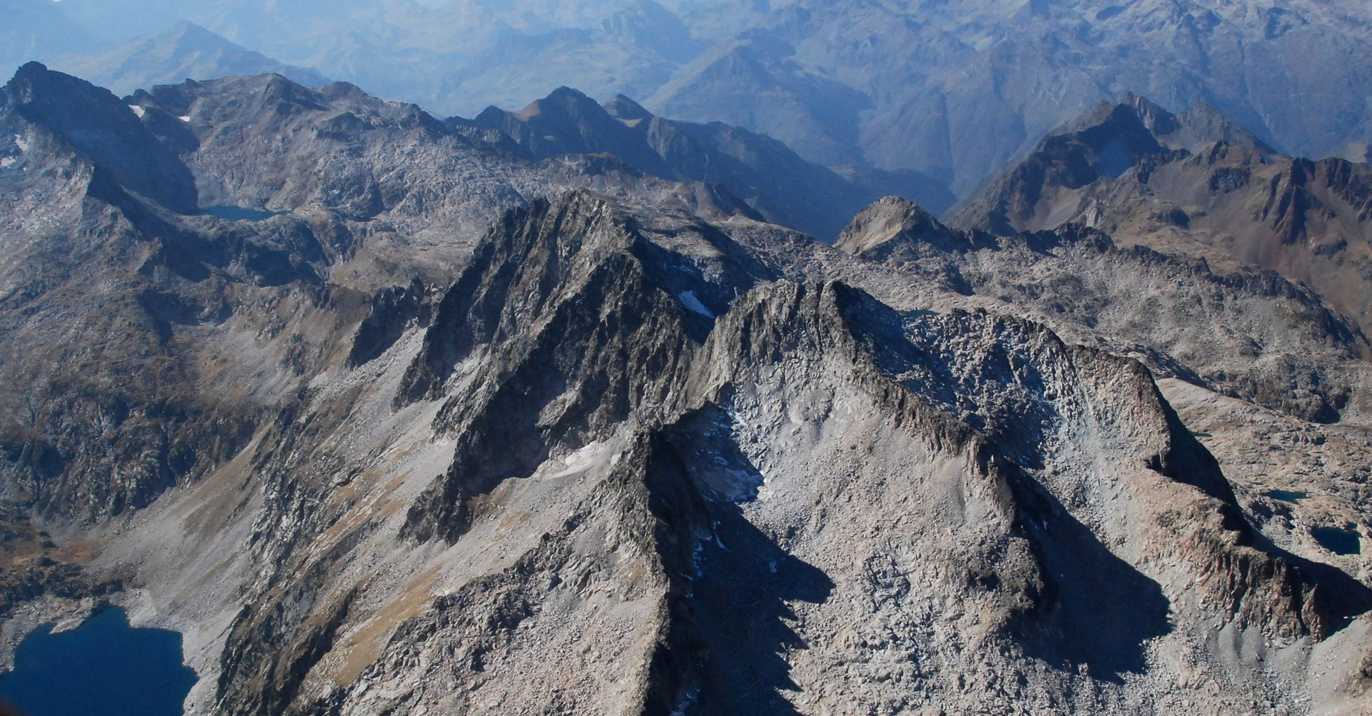
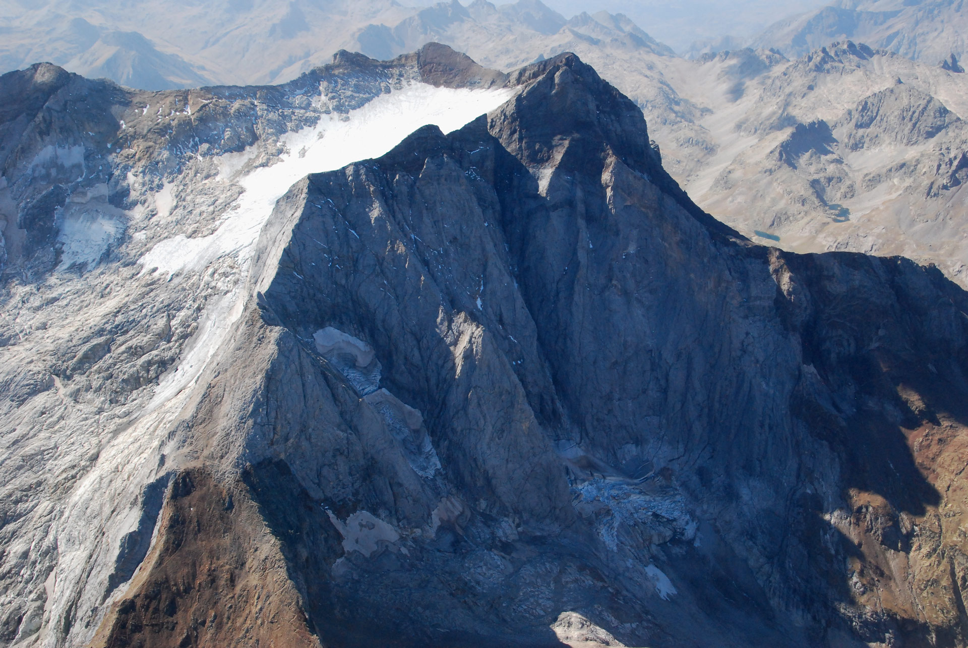
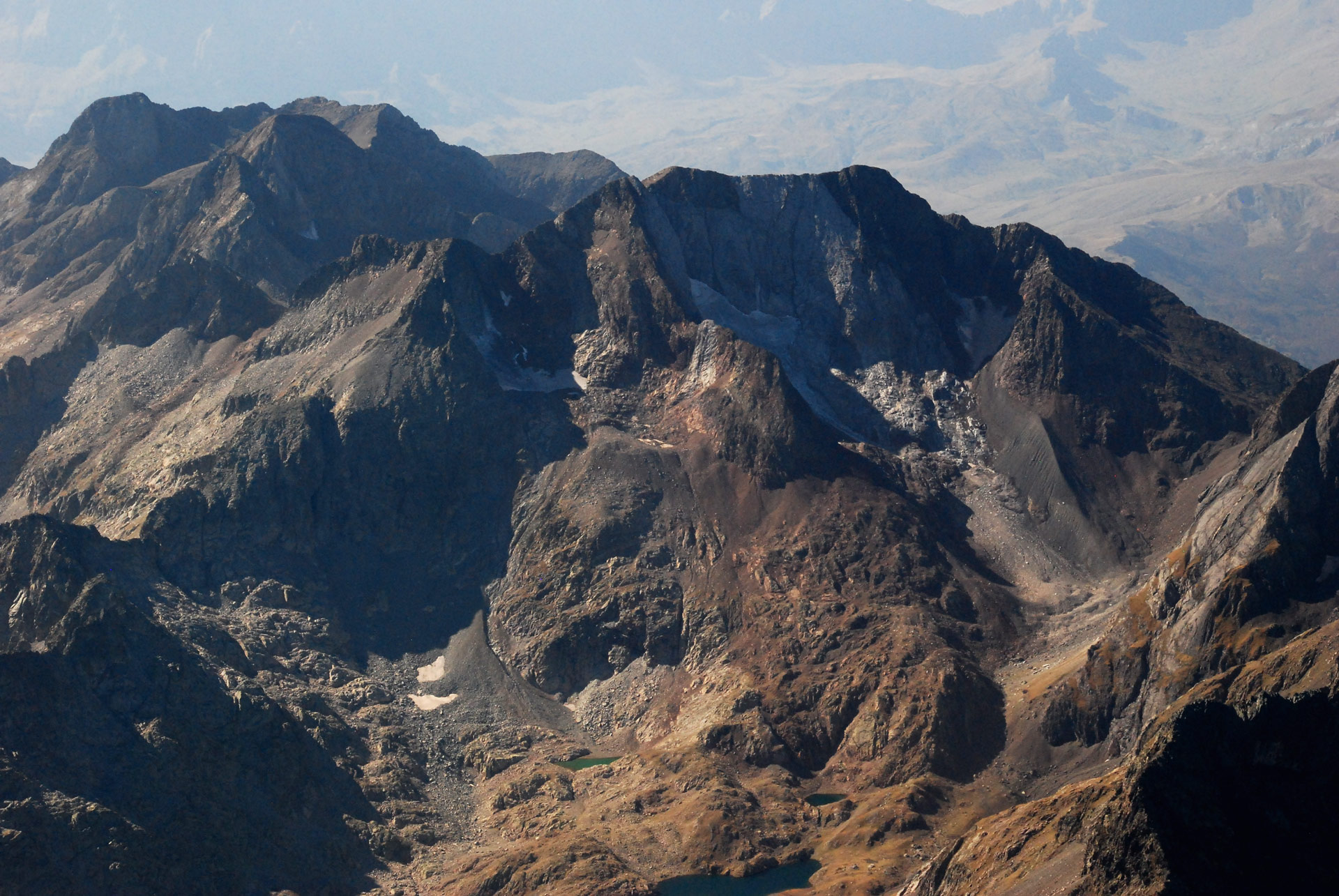
The Monte Perdido Massif includes thel Glacier of the summits of Soum de Ramond, Pico de Añisclo (3,254 m), Monte Perdido (3,355 m), Cilindro de Marboré (3,335 m) and Marboré (3,248 m). The list of main summits in the sector is completed by Punta de las Olas (3,003 m) and, at the end of the Pineta Valley, Gran and Petit Astazú, at 3,071 and 3,012 m, whose glaciers are located on the Gavarnie slope. All the ice described in the Monte Perdido Massif is located in Aragonese territory.
During the Little Ice Age, it was the third massif with the largest glacier surface area in the Pyrenees (320.2 ha) after Aneto-Maladeta and Perdiguero: it is estimated that it contained 13.4% of the ice of the entire mountain range.
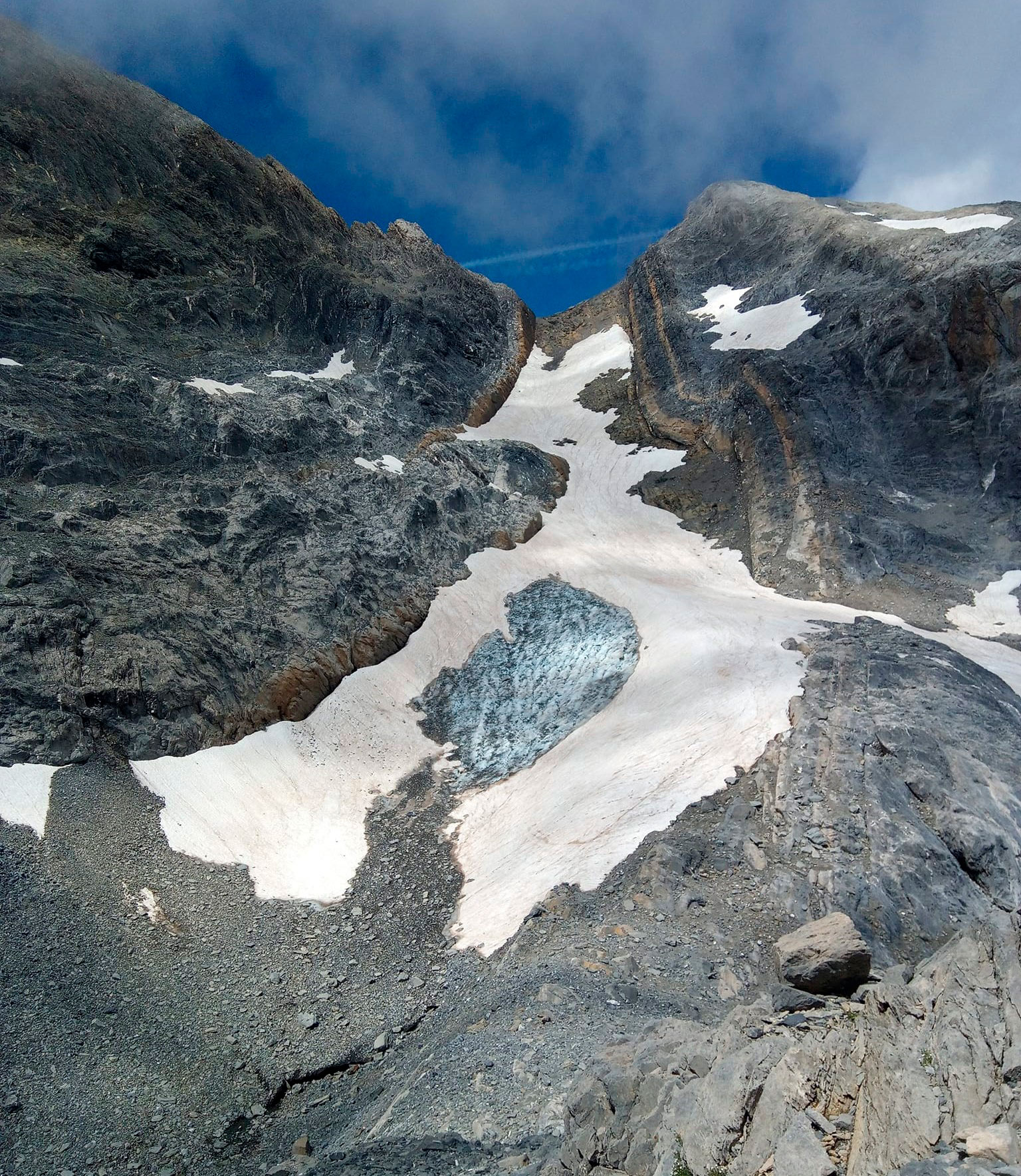
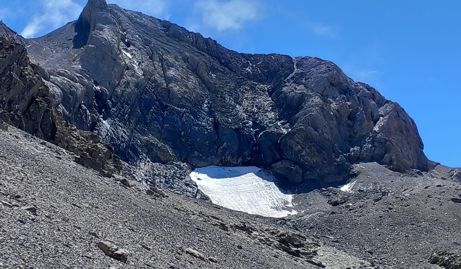
Between 1982-1985, a total of 5 glaciers and 4 ice fields were located in the massif. Two of these have since become extinct, with only the lower glacier of Monte Perdido (59) remaining active. Another 6 glaciers complete the sector as a whole.
Its current 24.5 ha of glacier ice have lost 92.3% of their area in the 175 years since the end of the Little Ice Age, making it the second largest massif in the Pyrenees. This represents 19% of the glacial ice of the entire mountain range and 30% of the glacial ice located in Aragon.
320,2ha
Extension of the glacier during the Little Ice Age
It was the third largest massif with the greatest glacial surface area in the Pyrenees, containing 13.4% of the ice in the entire mountain range.
24,5ha
Current glacial expansion
Despite having lost 92.3% of its ice, the Monte Perdido Massif still contains 19% of the ice in the Pyrenees and 30% of the ice in Aragon.
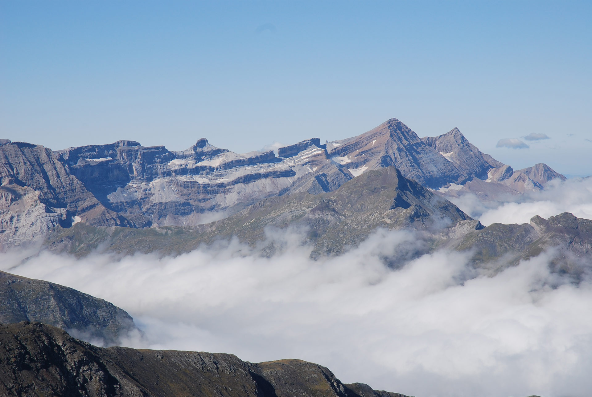
Location of the Monte Perdido Massif
Peaks: Monte Perdido (1), Soum de Ramond or Pico de Añisclo (2), Cilindro de Marboré (3) and Marboré (4). Glacial formations: Añisclo Northeast (56), Upper (58) and Lower Monte Perdido (59). Eastern (62), Central (63) and Western (64) Marboré. The (5-6-7) correspond to the peaks of Astazú, La Torre and Casco, with the AG of Astazú (65) and Casco (70) of the Gavarnie Massif. The summit of La Múnia (8) and the Helero de Barroude (47) belong to La Múnia, and Campbieil Peak (9) belongs to the Néouvièlle-Pic Long Massif. (Marta Espinalt – Jordi Camins – 2007).