Español
 Català
 Euskara
 Français
 English
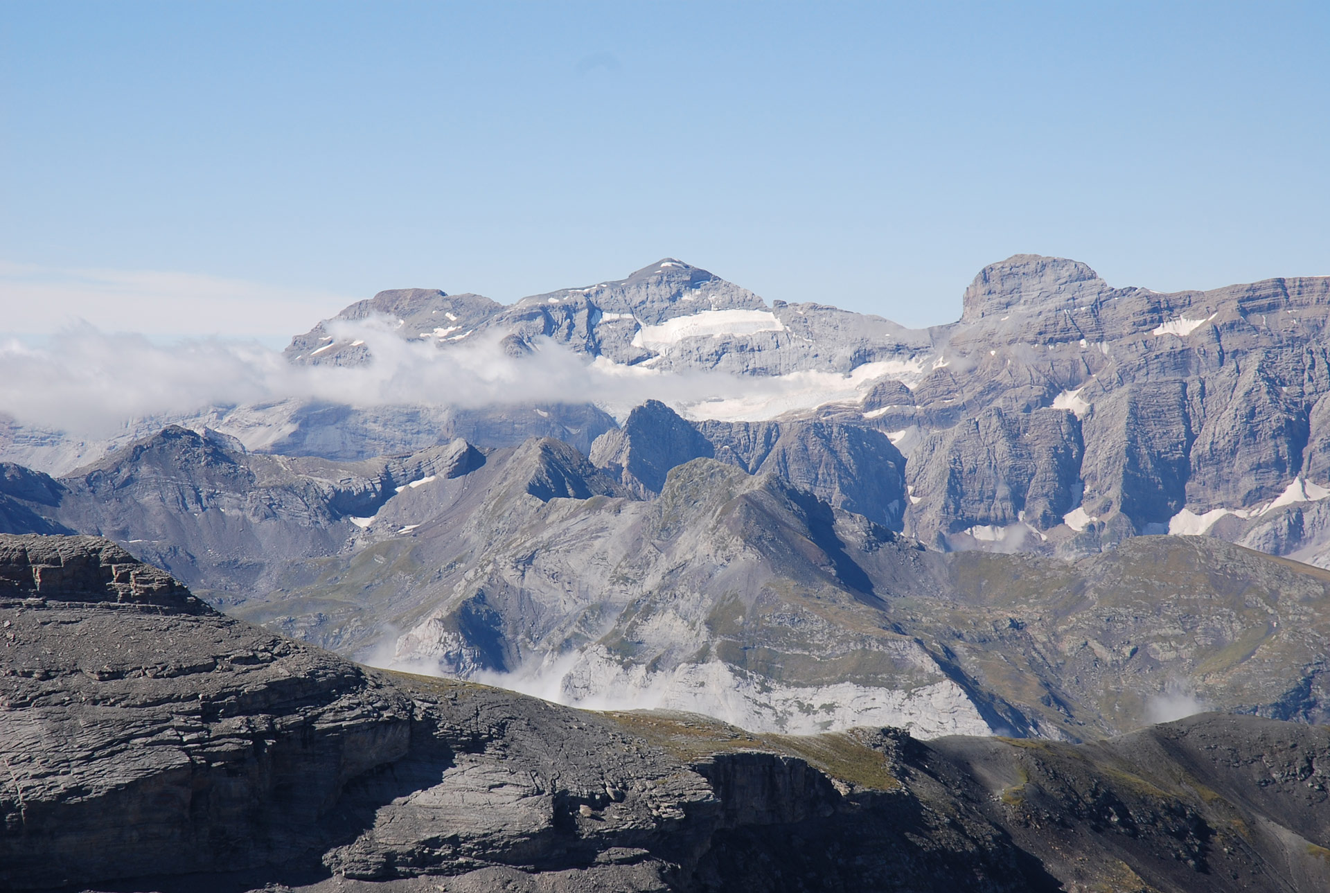
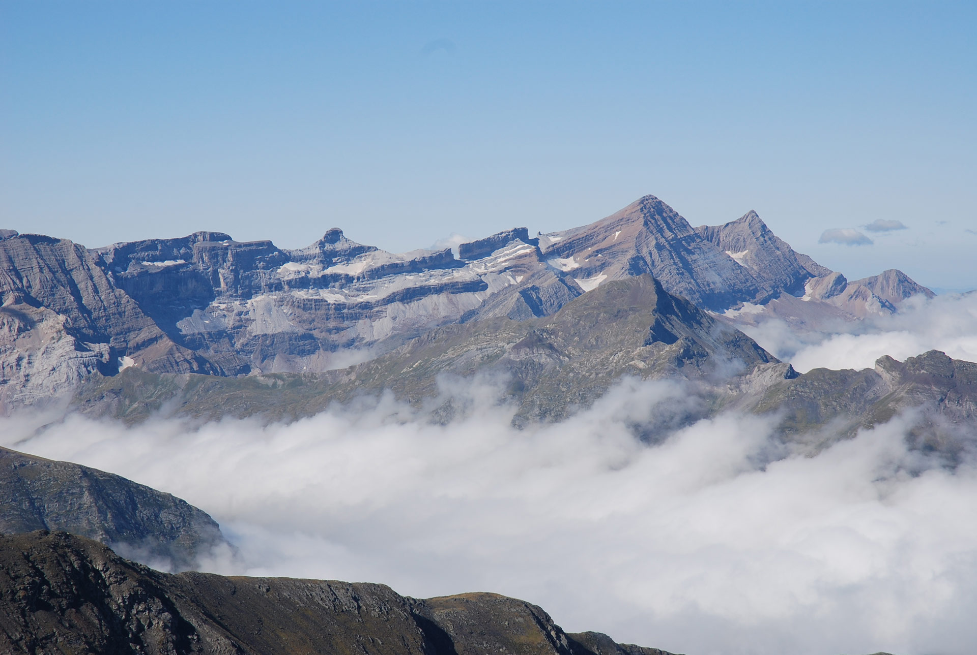
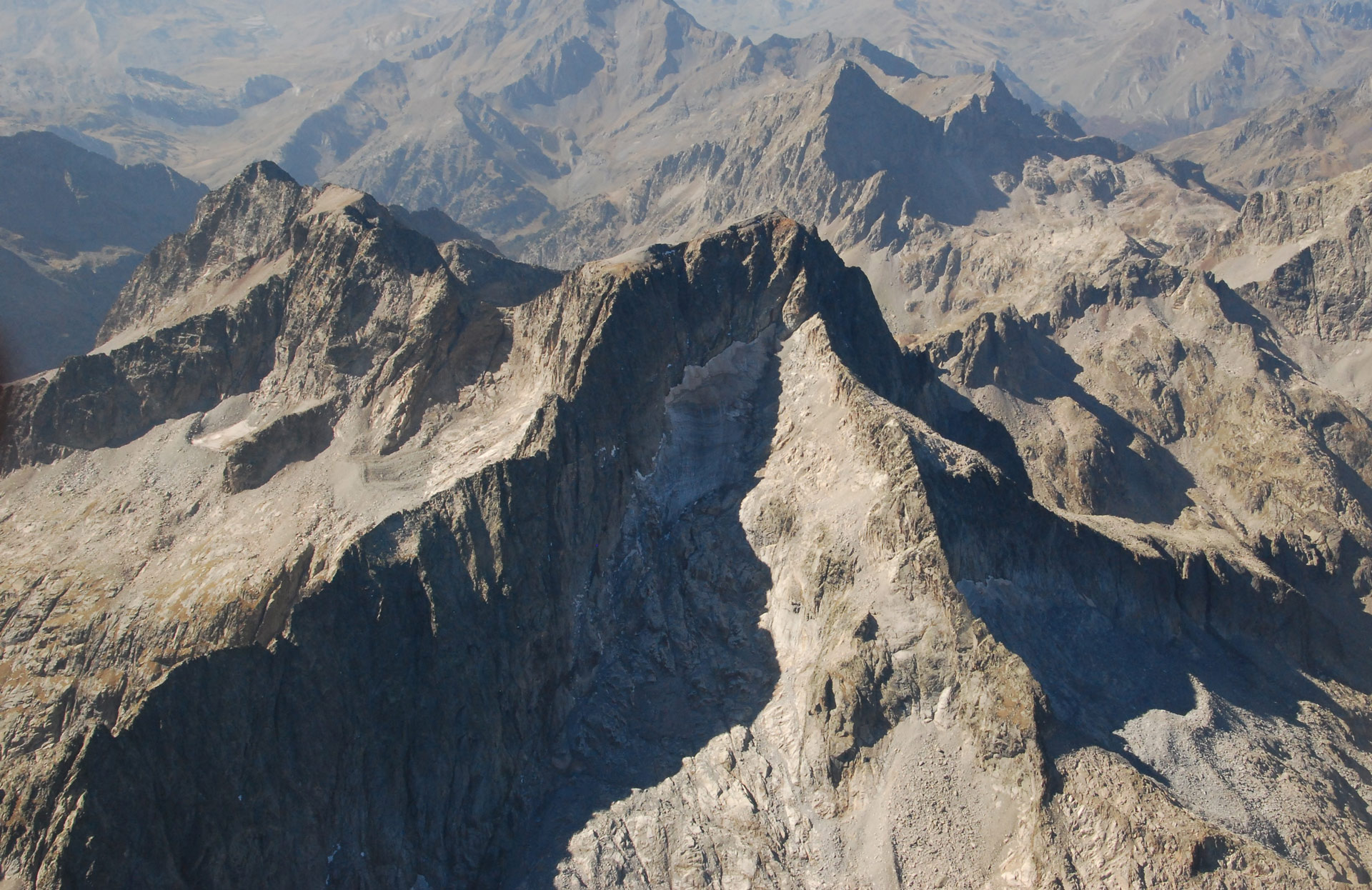
The Pique Longue or Vignemale (3,298 m) is the highest peak of the Vignemale Massif, also known as the Comachibosa Massif in Aragon. It is the highest peak in the western Pyrenees on the French side. It is also made up of a group of peaks over three thousand metres high, the Petit Vignemale (3,032 m), Espalda Chausenque (3,154 m), Punta Chausenque (3,204 m), Pitón Carré (3.197 m), Clot de la Hount (3,289 m), Cervillona (3,247 m), Pico Central (3,235 m), Montferrat (3,219 m) and Tapou (3,150 m) and close the cirque with the Ossoue Glacier.
During the Little Ice Age, this massif was home to 196.8 ha of glaciers, making it the 5th largest massif in the mountain range. This surface area represented 8.2% of Pyrenean ice.
At present, 2 of them are extinct (Montferrat-Tapou and Pico Central), 1 is in a residual state (Clot de la Hount), and the group is completed by 1 glacier (Montferrat) and 3 active glaciers (Ossoue, Petit Vignemale and Oulettes de Gaube). The two extinct glaciers were located in Aragonese territory. The glaciers and ice fields of this massif are located on the Occitan slope.
The Vignemale Massif preserves, like the Aneto-Maladeta Massif, 3 active glaciers. The ice extent in 2024 was 19.3 ha. It is estimated that the glacier ice surface in the Vignemale Massif has been reduced by 90% since the Little Ice Age, making it currently the 3rd massif with the most glaciers in the mountain range, containing 15% of the glacier ice in the Pyrenees.
196,8ha
Glacial extension during the Little Ice Age
It was the 5th most glaciated massif in the Pyrenees, containing 8.2% of the ice in the entire mountain range.
90%
Loss of ice since the Little Ice Age
By 2024, the glacier surface of the massif has been reduced by more than 90%, leaving only 19.3 hectares of ice.
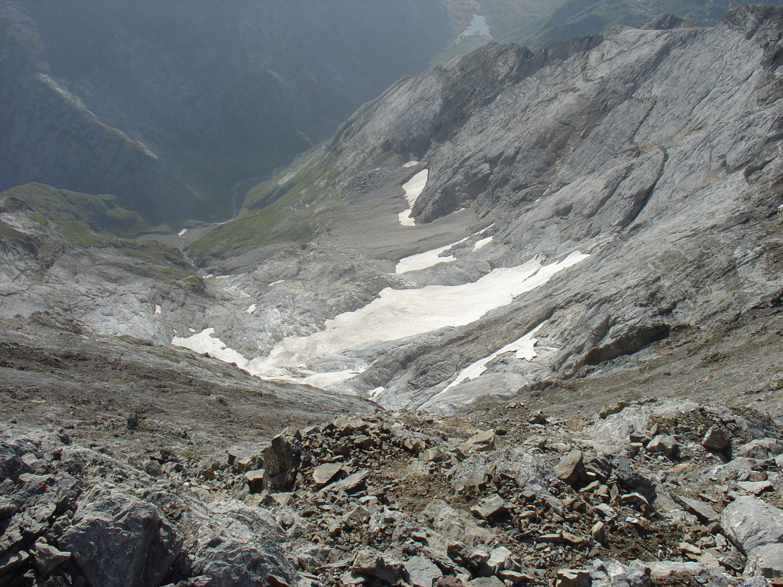
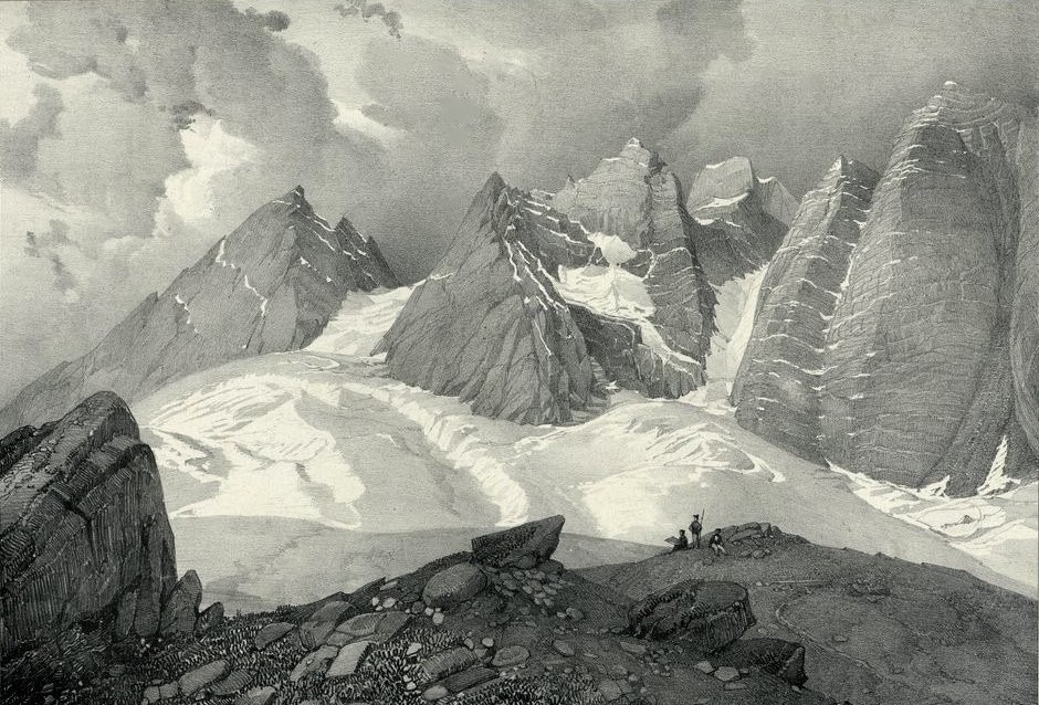
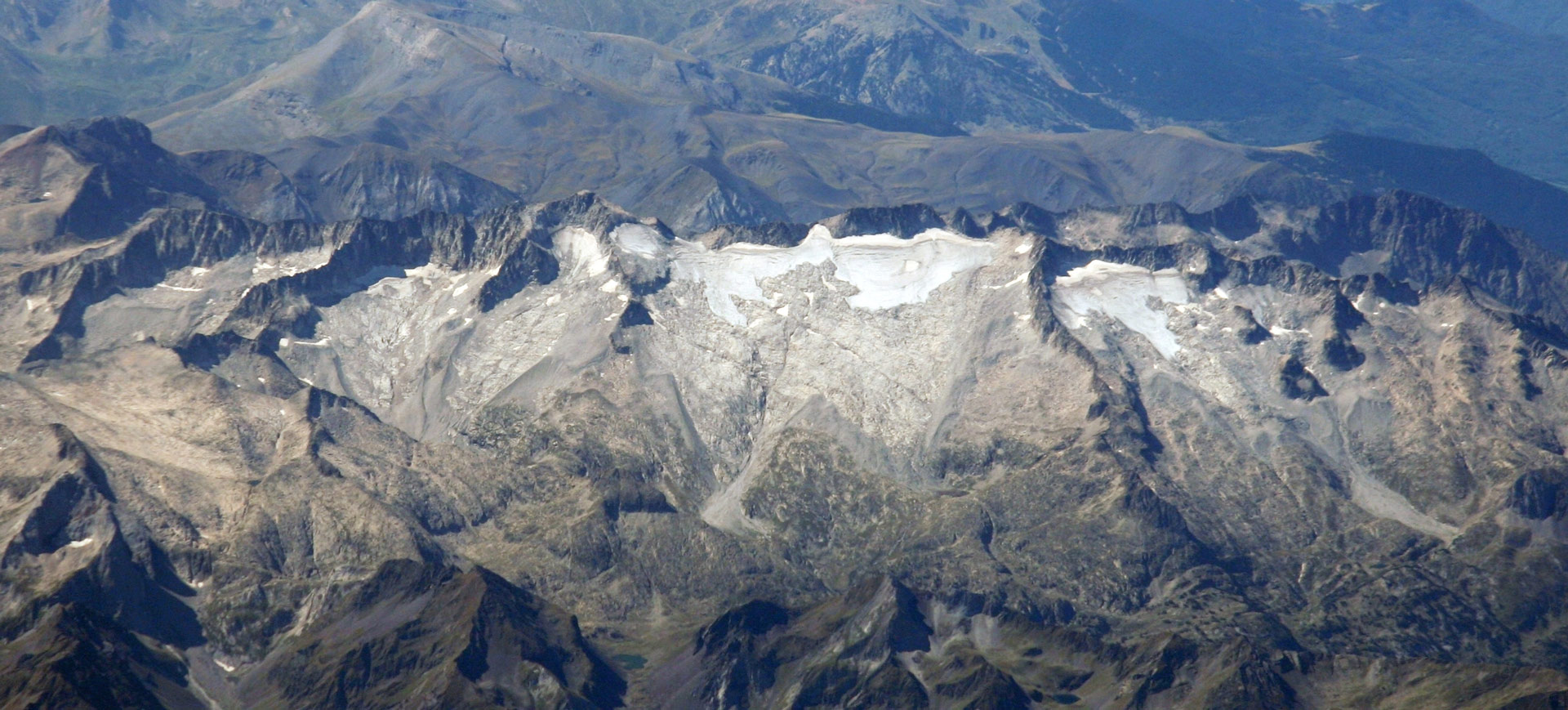
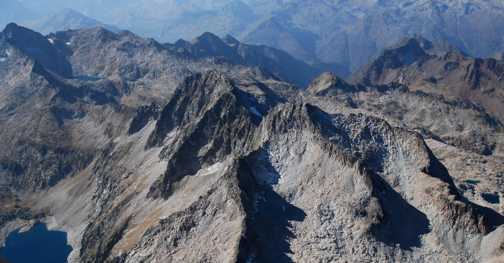
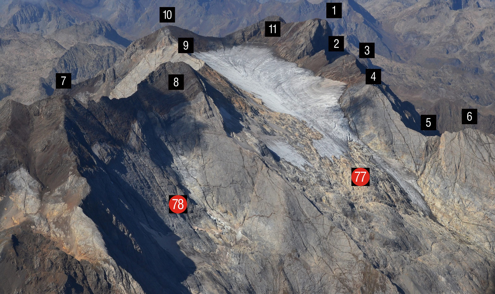
Situation of the eastern side of the Vignemale Massif
Ossoue Glacier (77) and Montferrat Icefield (78). Peaks and passes: Pique Longue (1), Piton Carré (2), Punta Chausenque (3), Espalda Chausenque (4), Col des Glaciers (5), Petit Vignemale (6), Tapou (7), Montferrat (8), Central (9), Cervillona (10) and Clot de Hount (11). The upper limit of the Couloir de Gaube is between the Pique Longue (1) and the Piton Carré (2). (Jordi Camins – 2017).
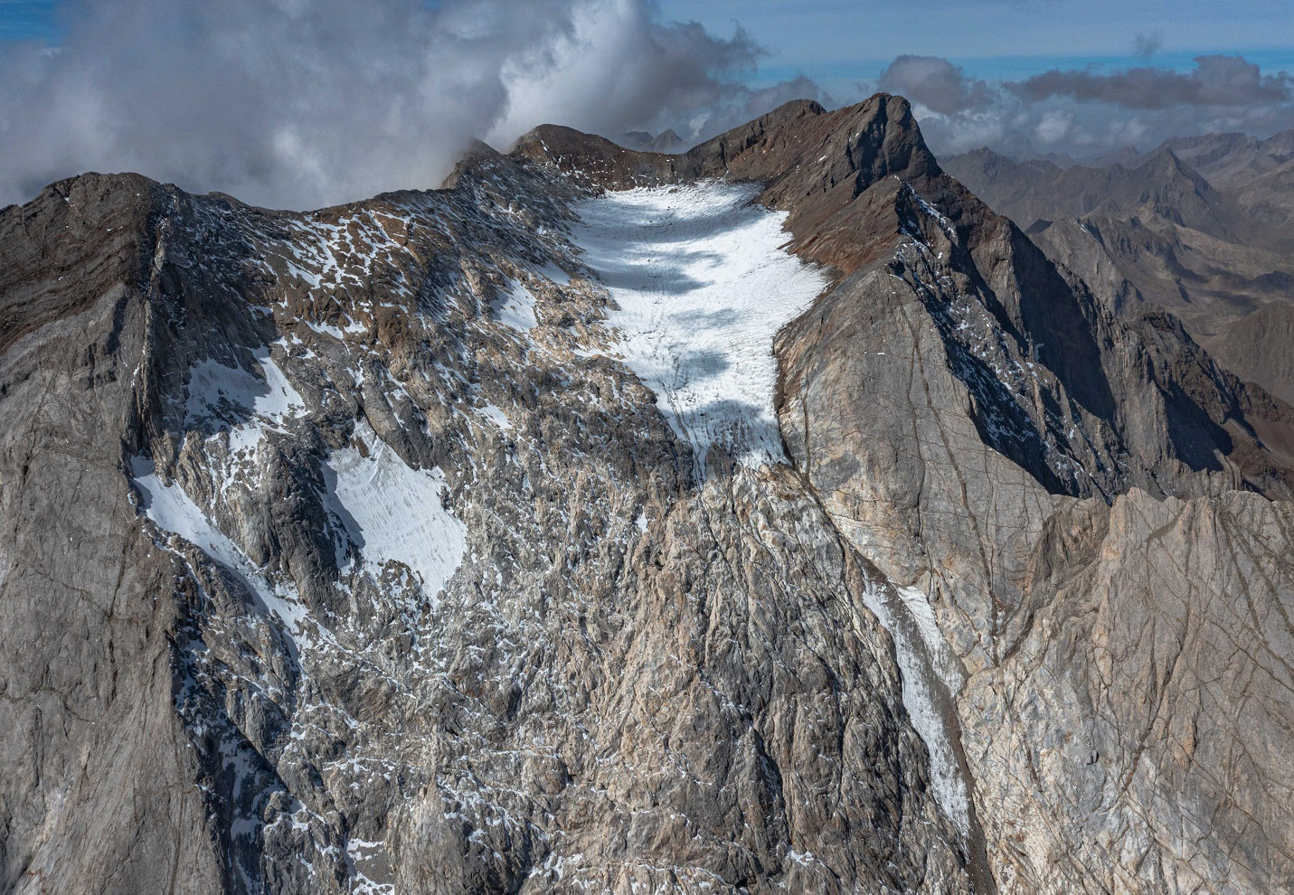
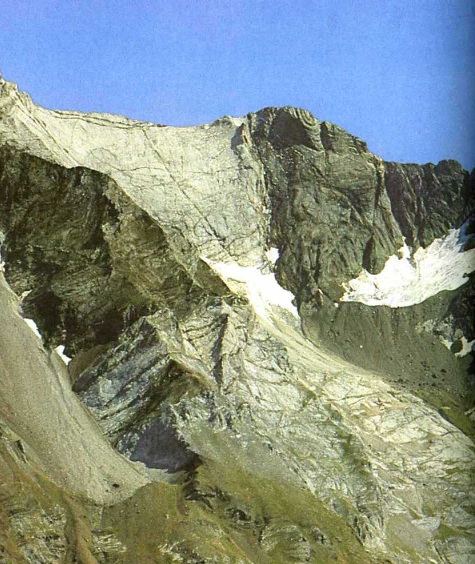
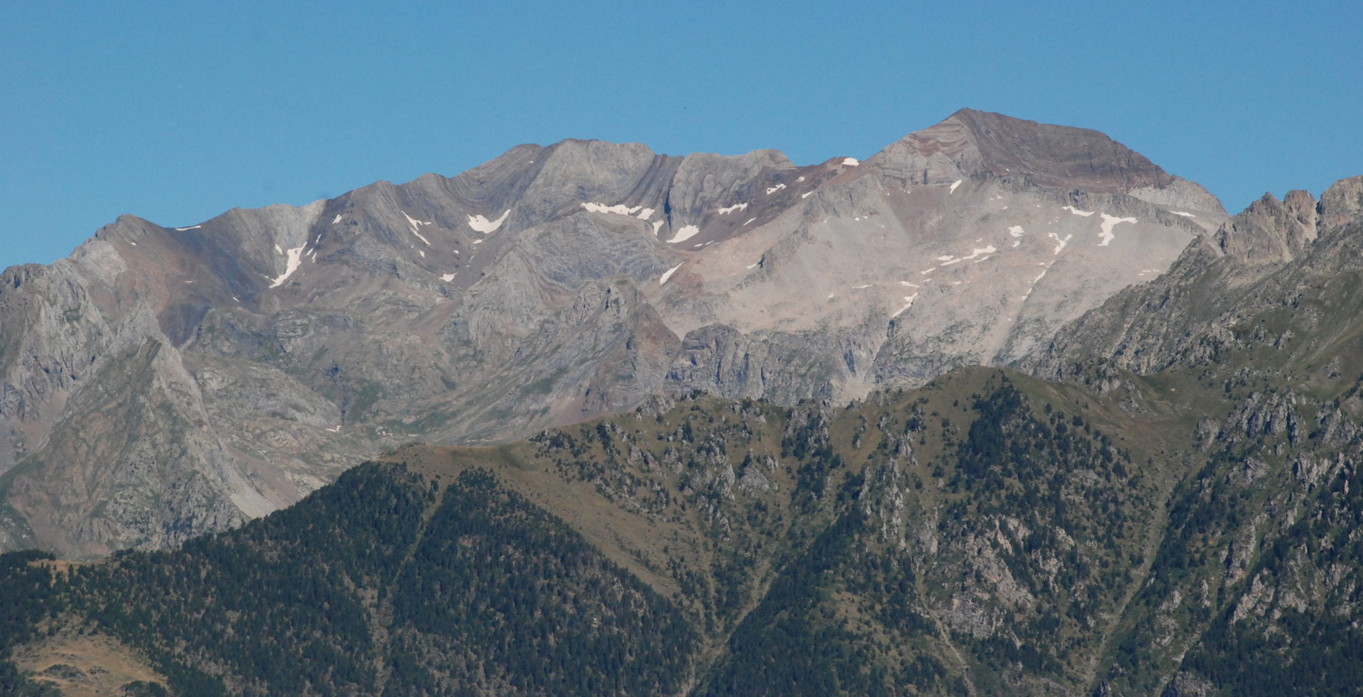
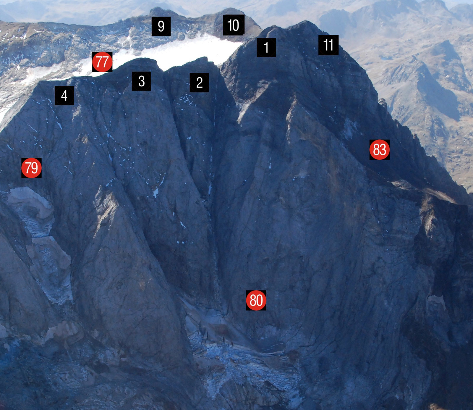
Location of the northern slope of the Vignemale Massif
Petit Vignemale Glacier (79), Oulettes de Gaube Glacier (80) at the base of the Couloir de Gaube, between Piton Carré (2) and Pique Longue (1). Remnant of Clot de la Hount (83). Ossoue Glacier (77) and Picos de Cervillona (10), Central (9), Punta (3) and Espalda Chausenque (4). (Jordi Camins – 2017).
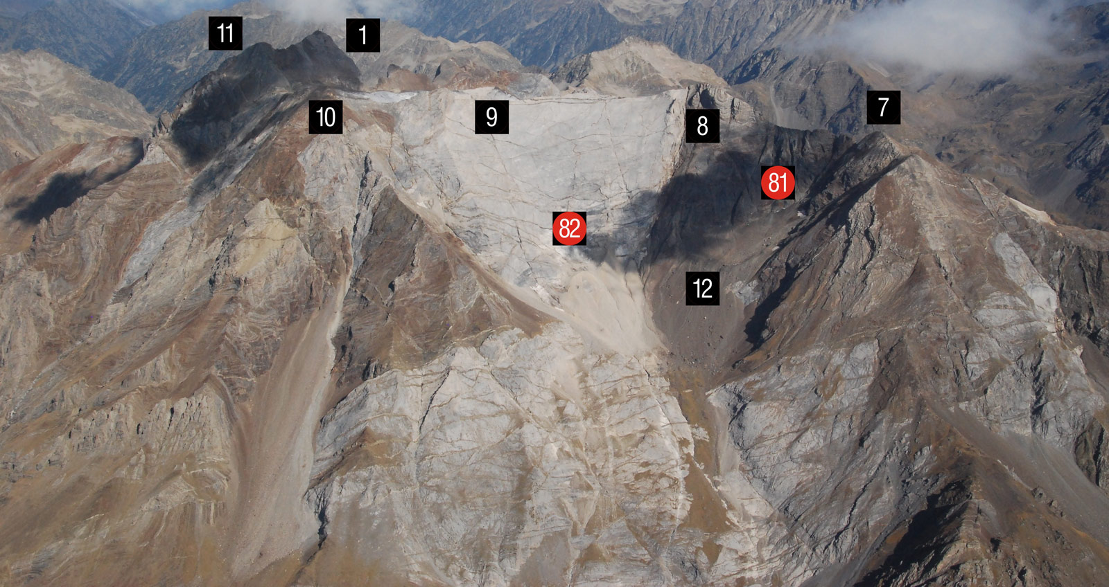
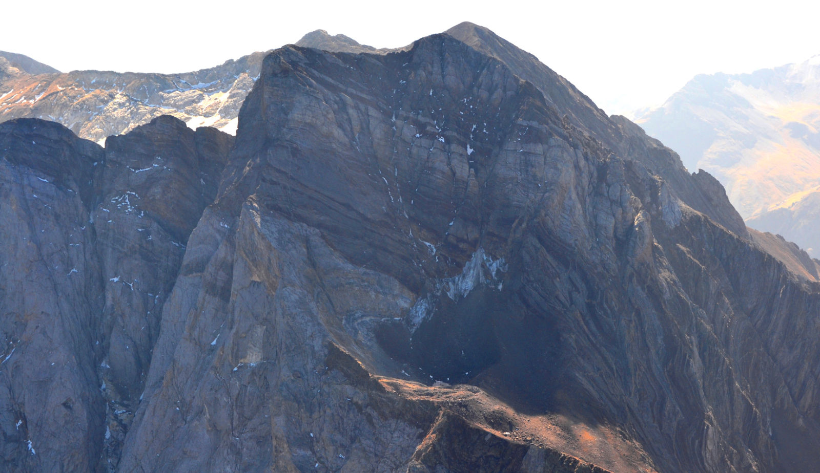
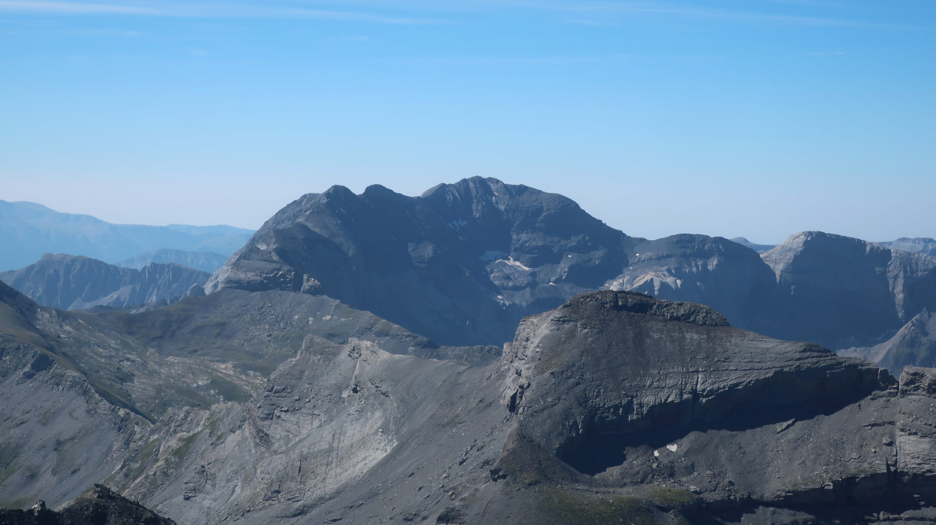
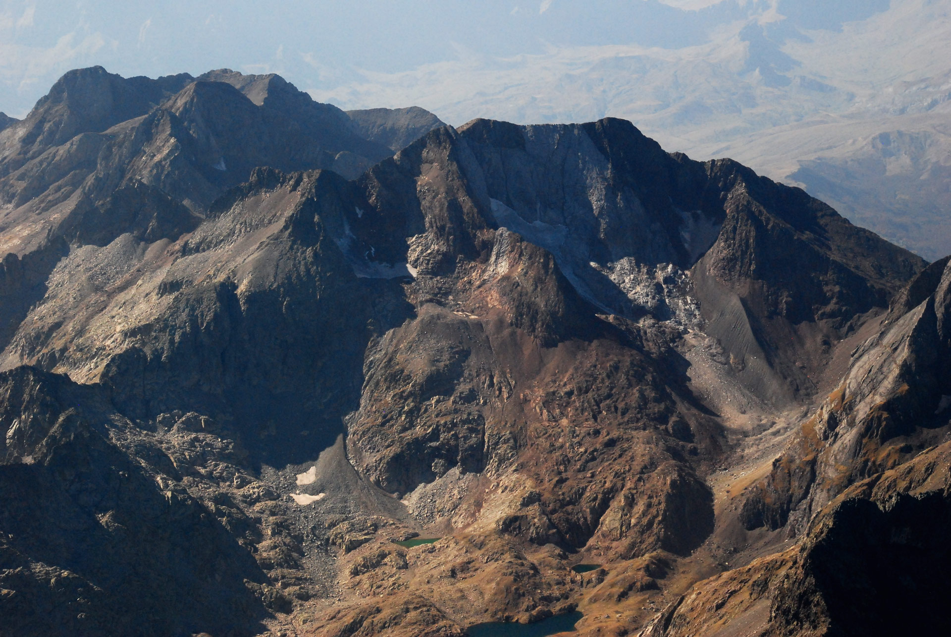
The southern face of the Vignemale Massif
The extinct Montferrat-Tapou glacier (81) with its terminal moraine (12) on the southern slope of the Montferrat (8) and Tapou (7) peaks. The extensive feeding zone of the extinct AG of Pico Central (82) under the ridge that links the peaks of Cervillona (10), Central (9) and Montferrat (8). In the background, Pique Longue (1) and the summit of Clot de la Hount (11). (Jordi Camins – 2017).