Español
 Català
 Euskara
 Français
 English
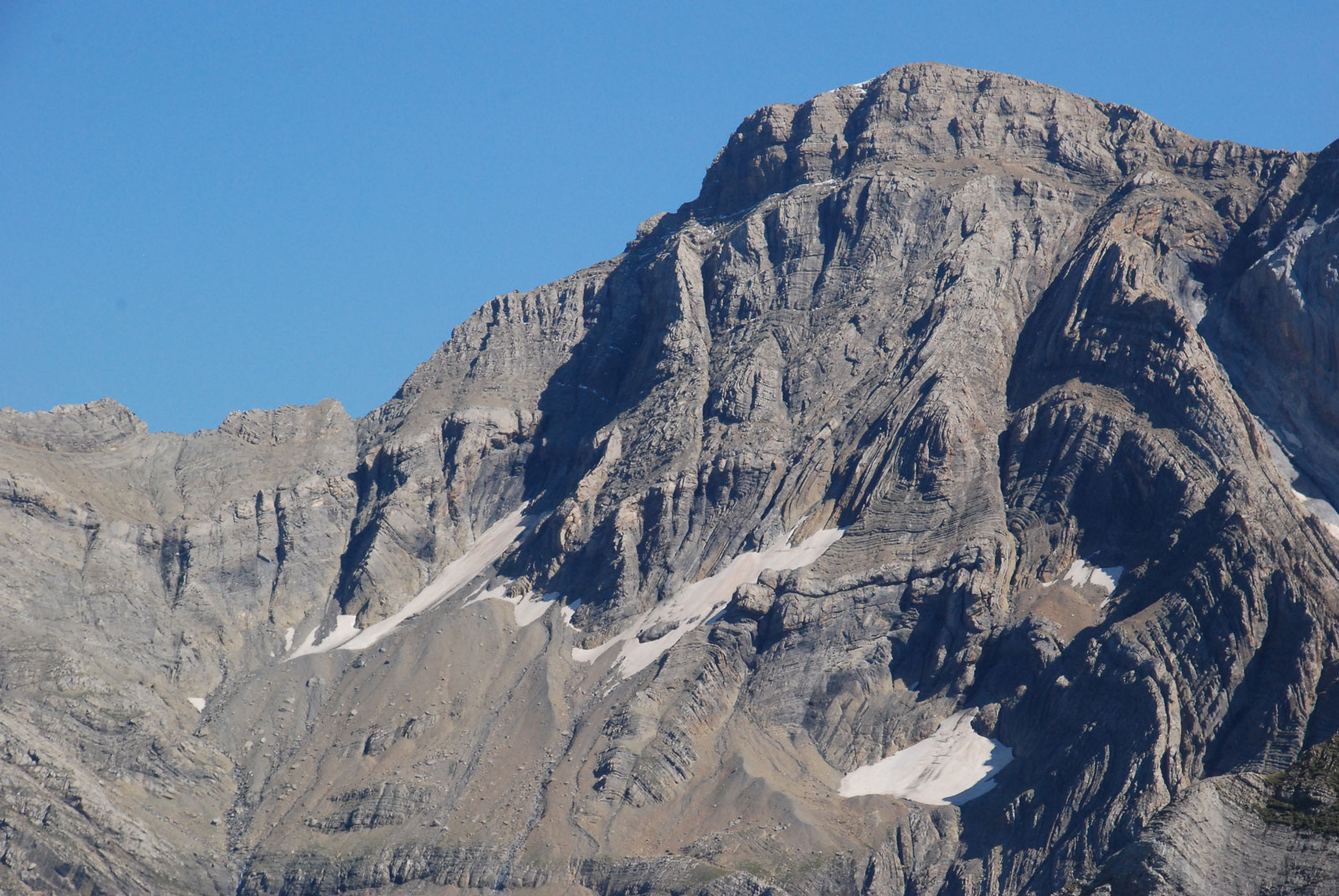
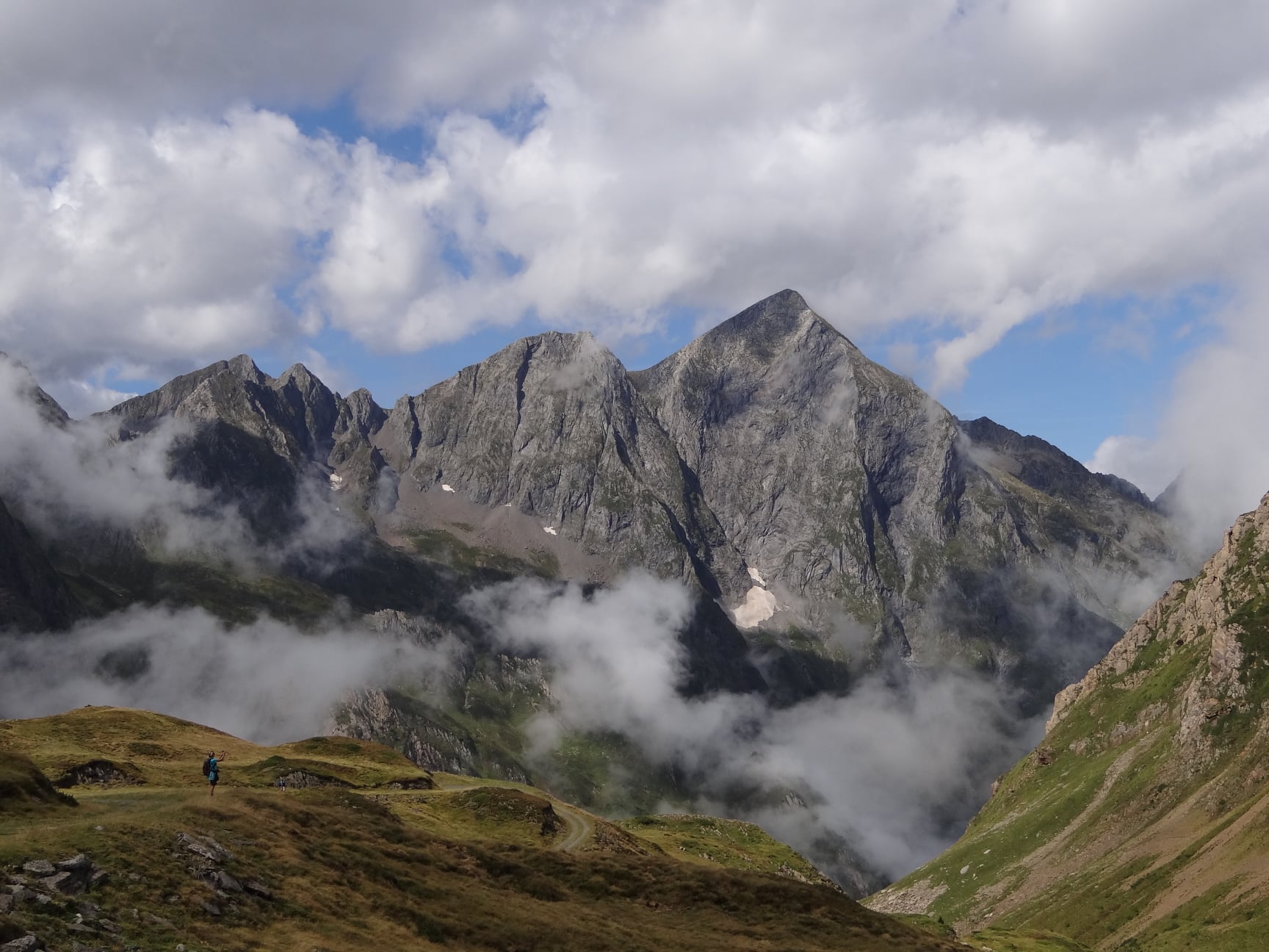
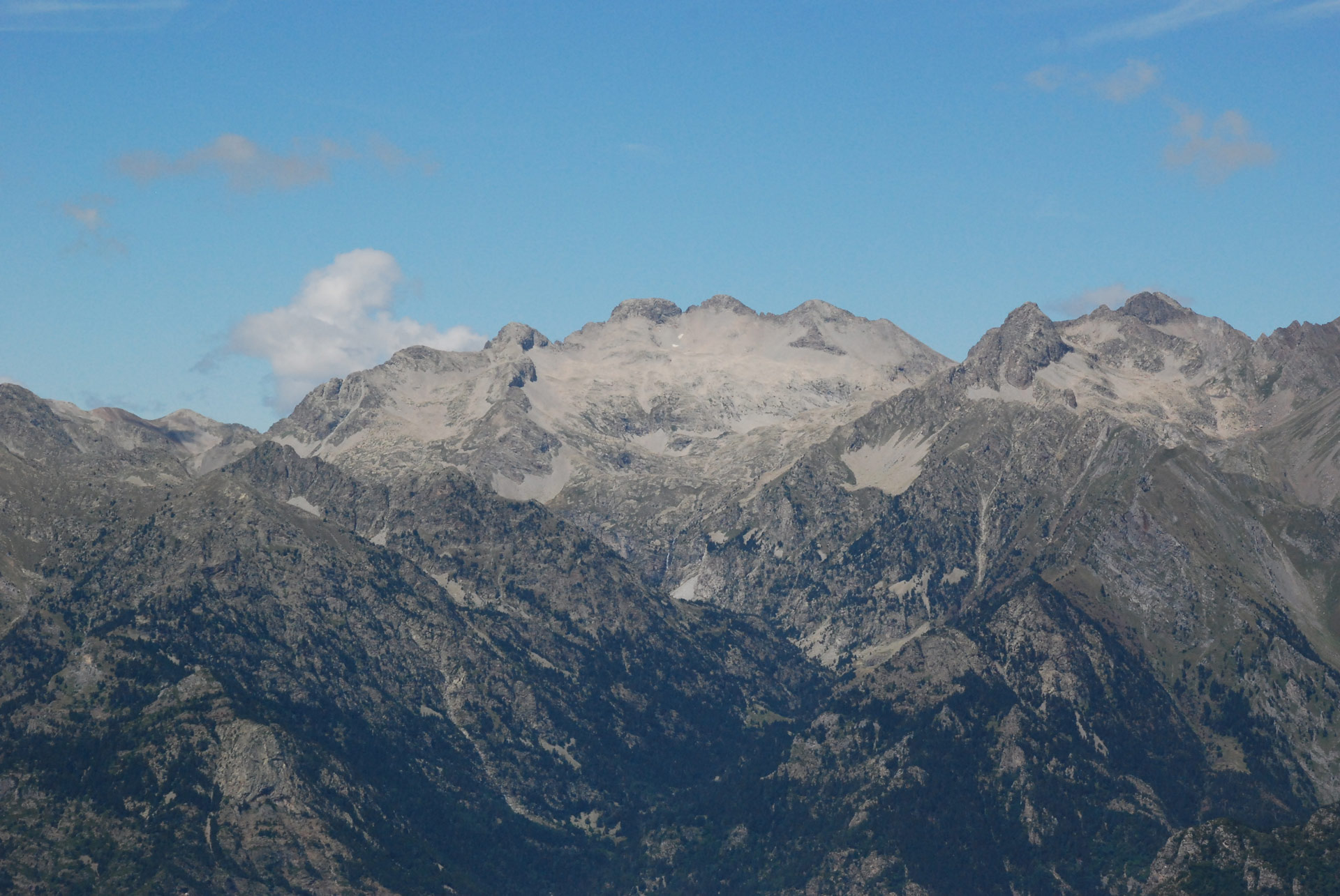
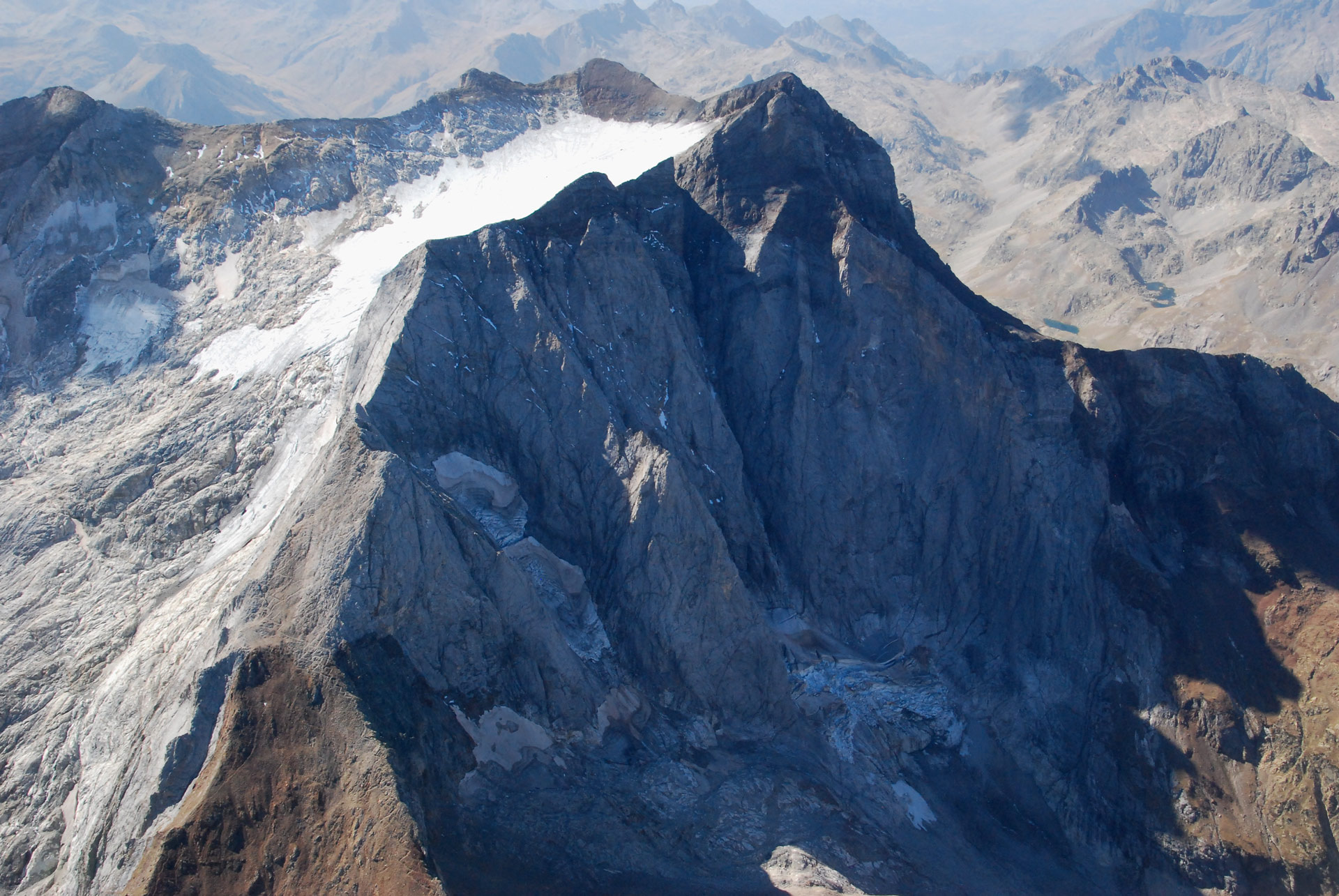
The ramparts of the Gavarnie Massif flank the cirque through which the “Le Grand Cascade” waterfall flows, whose waterfall is considered to be the steepest in Europe.
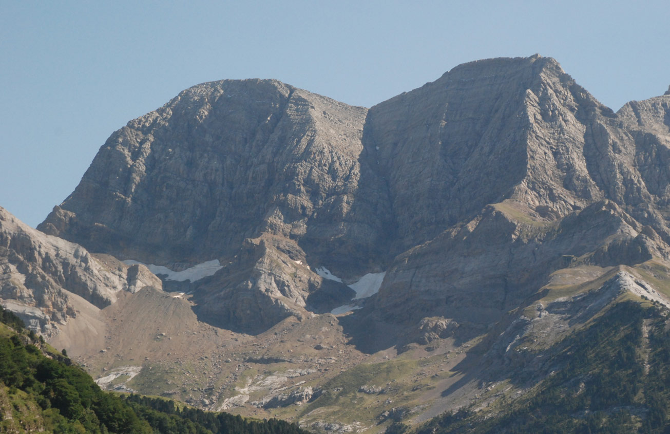
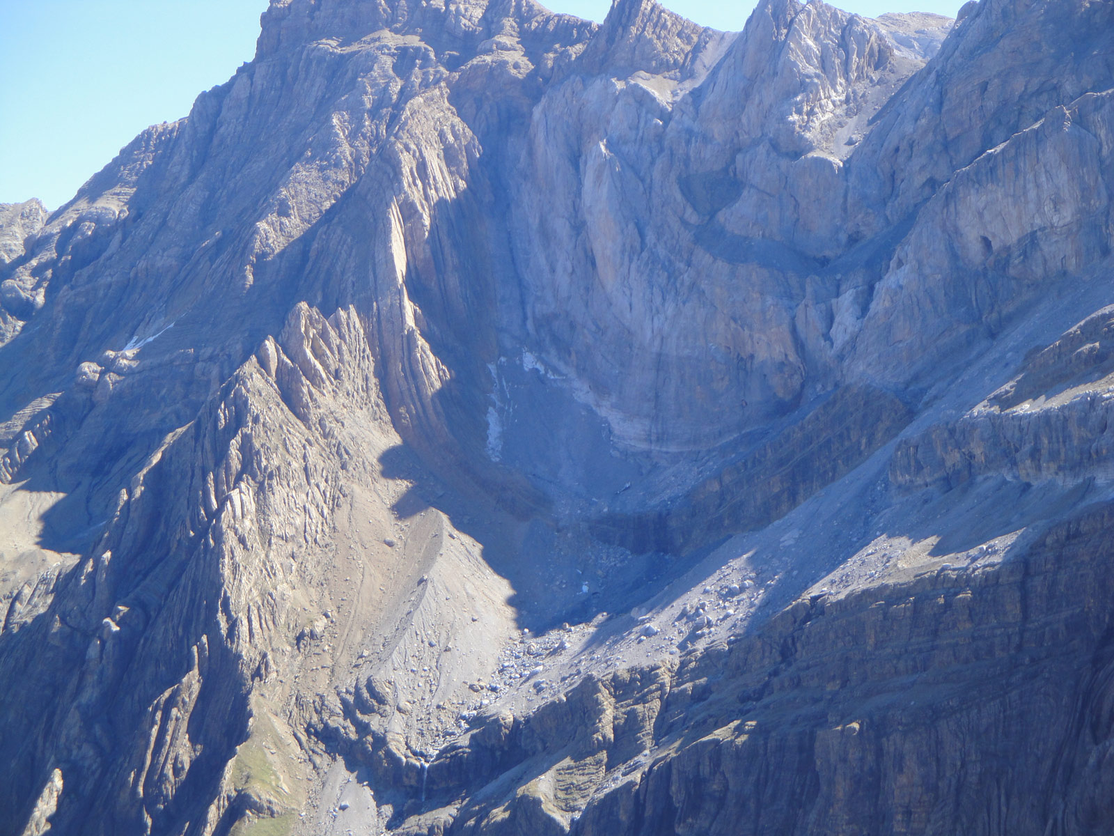
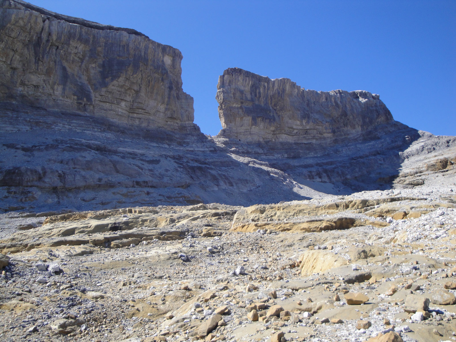
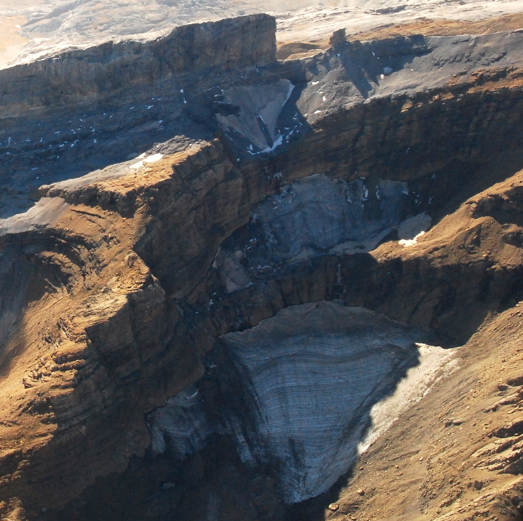
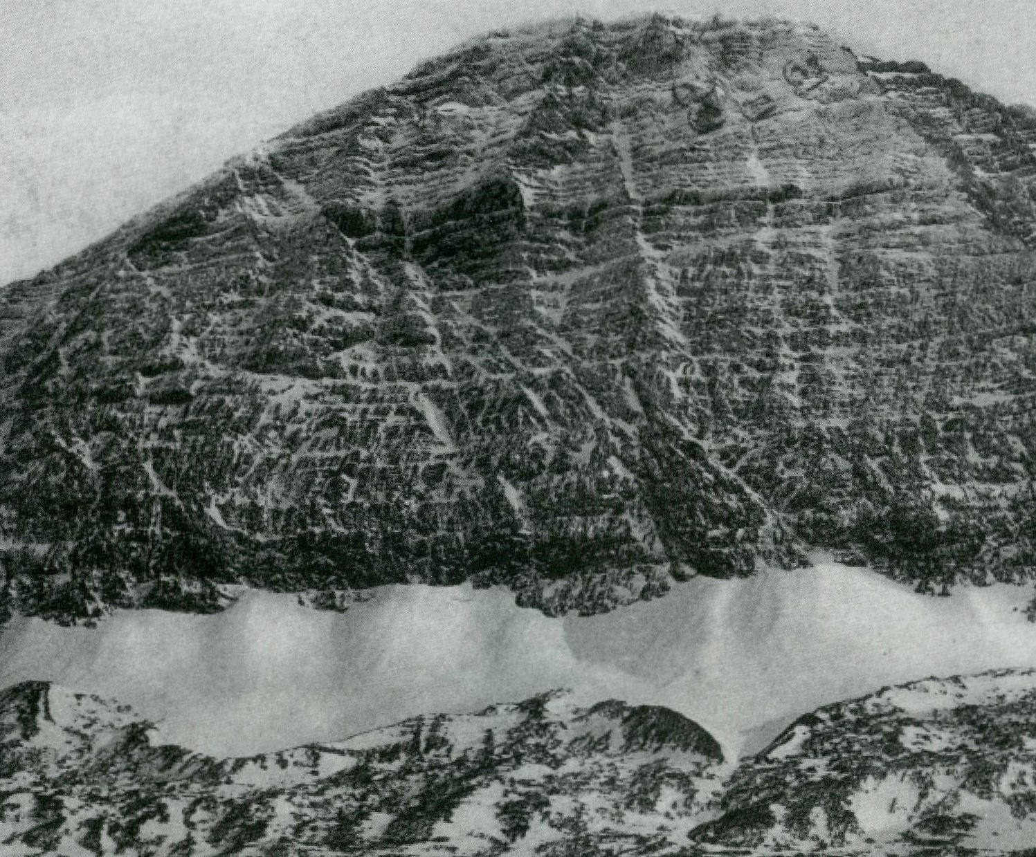
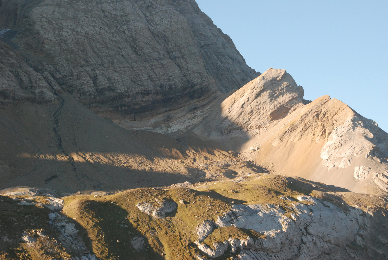
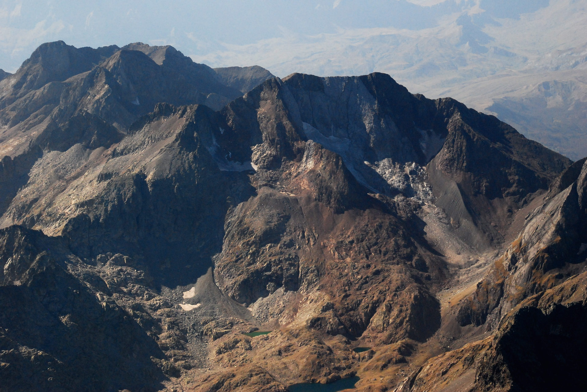
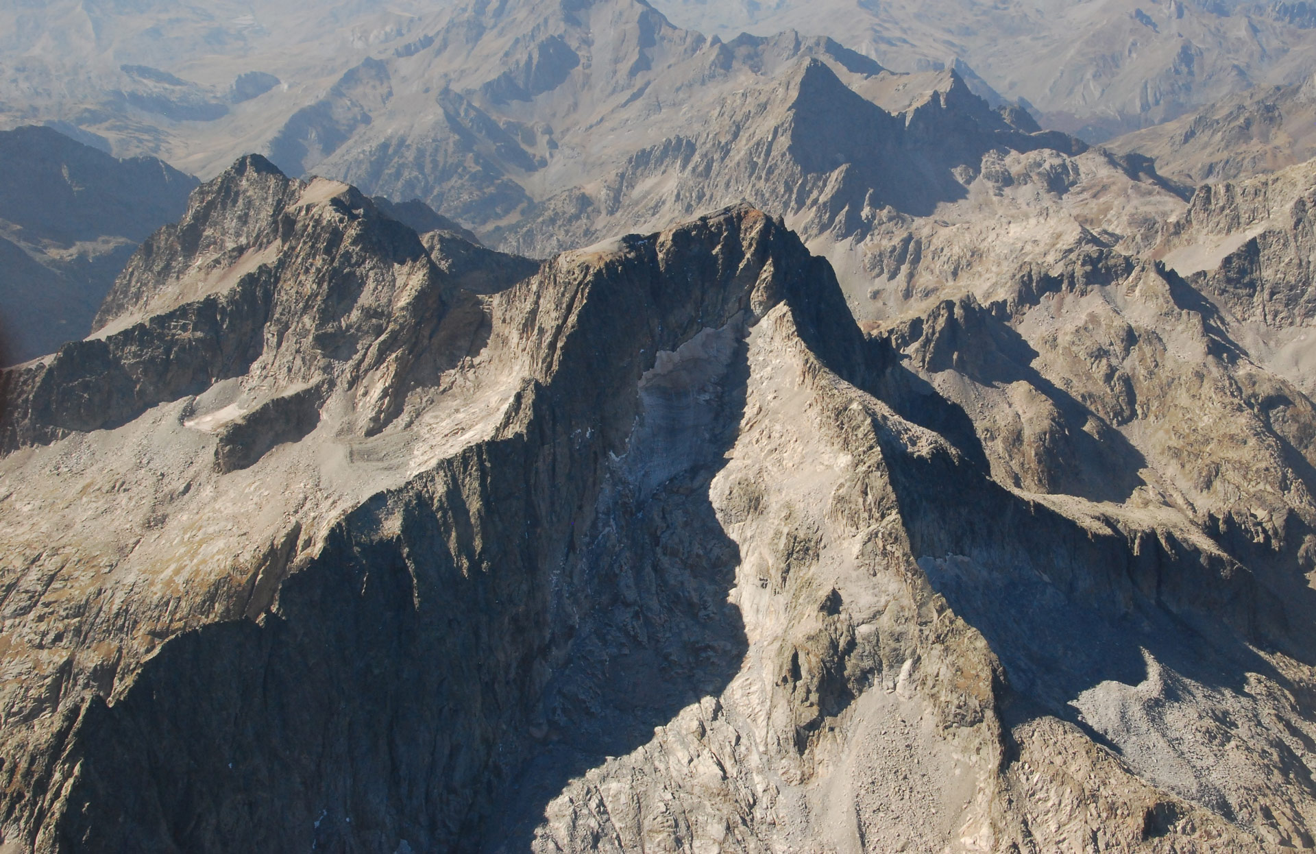
Summits such as Gran and Petit Astazú (3,071 and 3,012 m) and Marboré (3,248 m), which links up with the sectors of Monte Perdido, the Tres Picos de la Cascada (3,105 m), Espalda and Torre de Marboré (3,093 and 3,099 m), Casco (3,006 m), and finally Taillón and Gabieto (3,144 and 3,034 m).093 and 3,099 m), El Casco (3,006 m), together with the Rolando Gap (2,807 m), guard a set of Glaciers in clear regression.
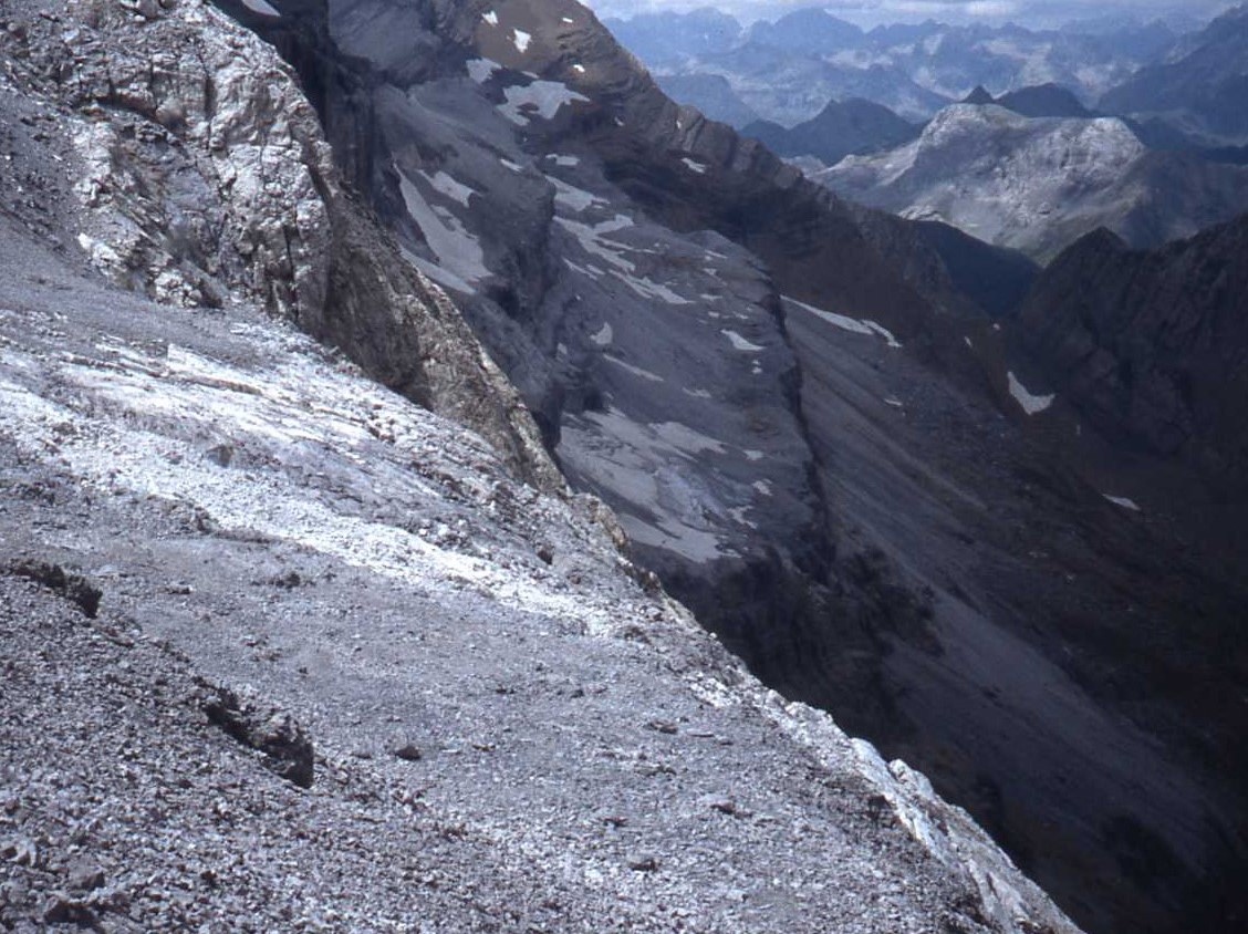
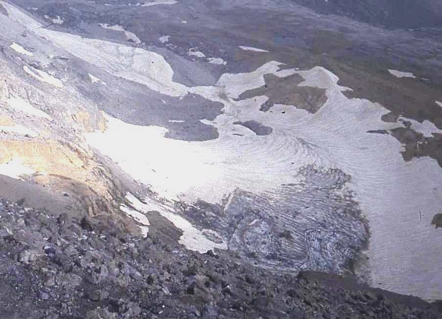
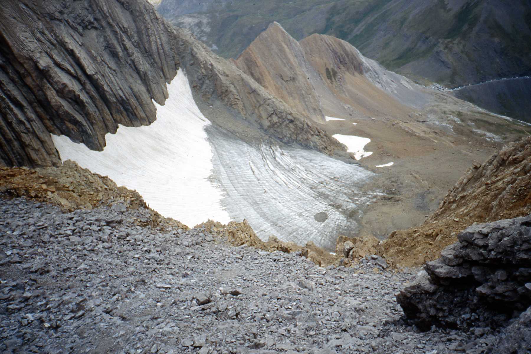
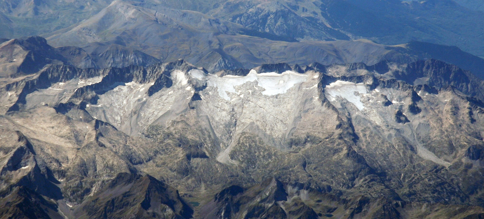
During the Little Ice Age, with 260.5 ha, it contained the 4th largest glacier area in the Pyrenees and 11% of the ice in the mountain range.
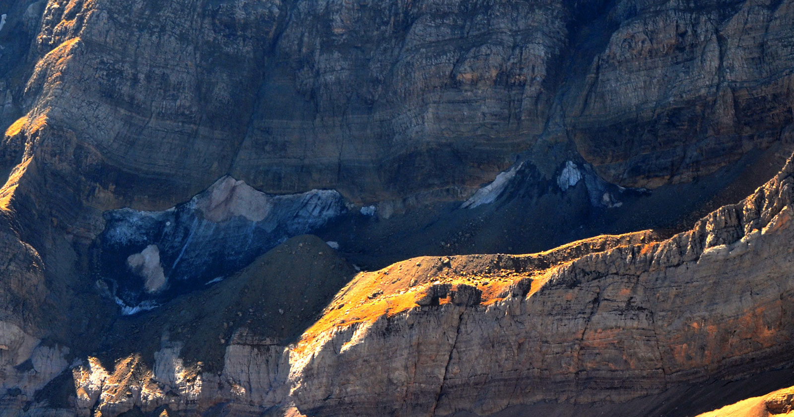
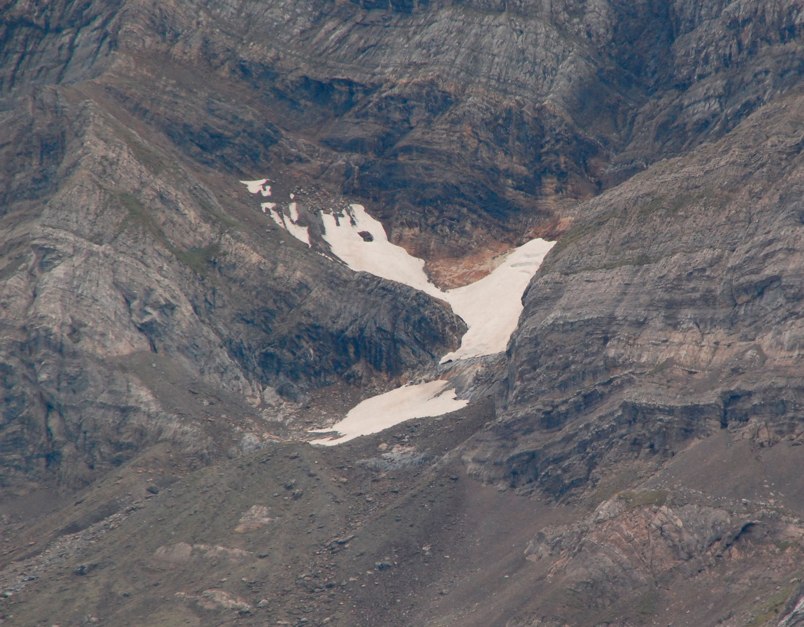
Between 1982 and 1985, 10 glaciers and 2 ice fields were recorded. All of them were in Occitan territory, except for the Aragonese glaciers of Sur Taillon (73) and the western part of Tourettes (76). In the last 40 years, 4 of them have become extinct and only the Taillon glacier is still classified as a glacier, although it is in clear transition to an ice field.
In 2024, the ice extent of the massif was 13.7 ha, ranking 4th among the Pyrenean massifs in terms of glacial ice surface. It is estimated that this massif has lost 94% of its extension since the Little Ice Age.
260,5ha
Glacial extension during the Little Ice Age
It was the 4th largest massif with glaciers in the Pyrenees, containing 11% of the mountain range’s ice.
94,7%
Loss of ice since the Little Ice Age
It currently conserves 13.7 ha of glacial ice, which represents a reduction of 94.7% in its extension.
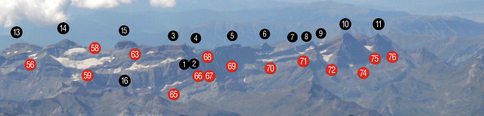
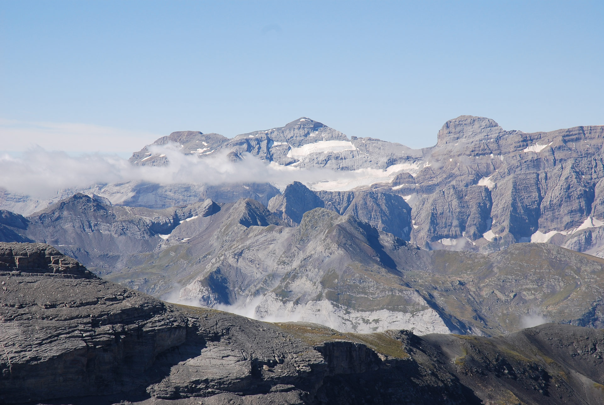
Location of the Gavarnie Massif
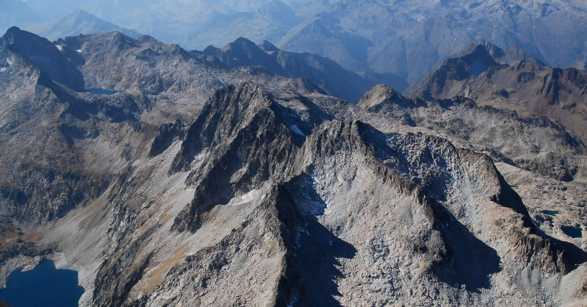
Peaks and geographical points: Gran Astazú (1), Petit Astazú (2), Marboré (3), Picos de la Cascada (4), Espalda and Torre de Marboré (5), Casco (6), Brecha de Roland (7), Balcillac (8), Falsa Brecha and Dedo (9), Taillón (10), Gabietous (11). Glacial formations: Astazú (65), Païlla Este (66), Païlla Oeste (67), Marboré Oeste (68), La Cascada (69), Casco (70), Brecha de Roland (71), Taillón (72), Taillón Norte (74), Gabietous (75), Tourettes (76).
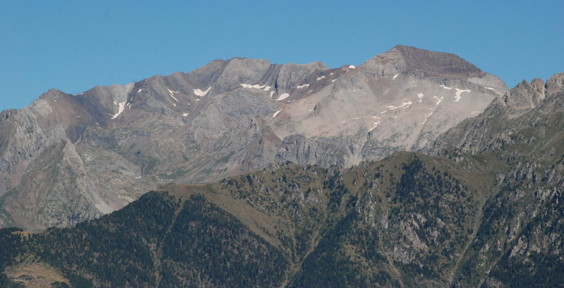
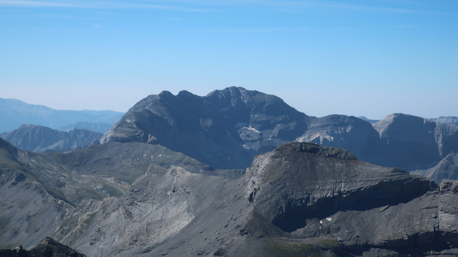
In the background on the left of the photograph, the Monte Perdido Massif. Summits of Soum de Ramond (13), Monte Perdido (14) and Cilindro de Marboré (15). AG: Añisclo NE (56), Superior (58) and Inferior de Monte Perdido (59), Central de Marboré (63). (Marta Espinalt – Jordi Camins -2007).